Avvikene skyldes oftest manglende sletting av bygningslinjer når bygningsflate er slettet i FKB-Bygning. Rettes i FKB-Bygning
| Kommune | LokalId | Objekttype | Posisjon | WMS-bilde |
|---|
| 5532 Balsfjord | 94a90f97-ab72-4a61-a96c-19dc8426fb8a | Bygningslinje | N: 7697794.26, Ø: 647267.02 | 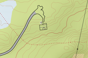 |
| 5532 Balsfjord | 7bdb5ec8-d009-40a3-b7b9-dc2885967e27 | Bygningslinje | N: 7697801.06, Ø: 647268.69 | 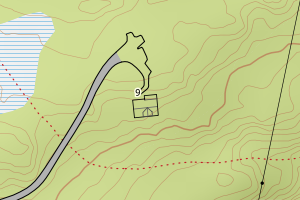 |
| 5532 Balsfjord | 39080275-f364-4da1-8270-9644bedeb4cb | Bygningslinje | N: 7694775.74, Ø: 649806.88 |  |
| 5532 Balsfjord | 1f19d981-4390-40ec-887c-994f87f30e9e | Bygningslinje | N: 7694776.07, Ø: 649817.83 | 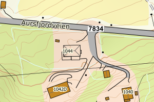 |
| 5532 Balsfjord | e28ae38d-7f15-42e0-a46b-67faf40c04eb | Taksprang | N: 7696049.55, Ø: 654454.98 | 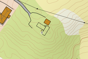 |
| 5532 Balsfjord | 647775f6-9ce3-4ab9-8464-671250555f9d | Taksprang | N: 7697801.01, Ø: 647265.63 | 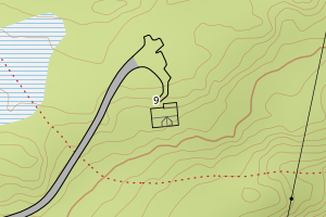 |
| 5532 Balsfjord | f1d9705c-07ff-4090-aa60-0ab1a41a8763 | Taksprang | N: 7694770.54, Ø: 649815.75 | 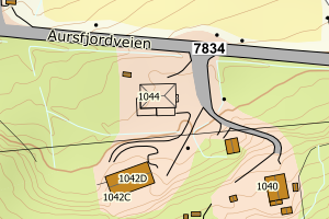 |
| 5532 Balsfjord | fabdd005-3fc4-4da8-bc6b-2c3394f2cd0a | Taksprang | N: 7685501.25, Ø: 680940.64 | 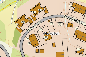 |
| 5532 Balsfjord | ae163810-2f60-4461-8791-fb2e6d5e58ca | Taksprang | N: 7694774.85, Ø: 649820.50 | 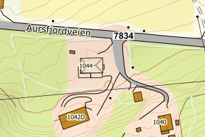 |
| 5532 Balsfjord | bac14caf-a248-4f9c-86ea-e2c4646b31e5 | Taksprang | N: 7696047.88, Ø: 654452.43 | 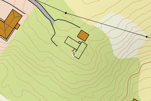 |
| 5532 Balsfjord | 0852d3eb-6ab5-40fb-8b40-3dc3136eb6e1 | Taksprang | N: 7696053.84, Ø: 654456.07 | 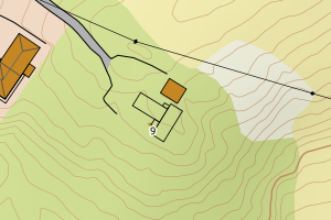 |
| 5532 Balsfjord | d8528942-da17-4720-a5e2-0d71311b6066 | Mønelinje | N: 7694775.93, Ø: 649812.36 | 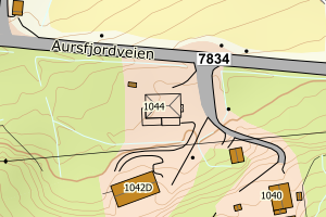 |
| 5532 Balsfjord | 8c2a0b54-0404-44ca-b74a-a69b285dd4a6 | Mønelinje | N: 7694774.91, Ø: 649821.03 |  |
| 5532 Balsfjord | 22eaad68-b54a-4743-8842-a4feff7f5811 | Mønelinje | N: 7702994.94, Ø: 641451.23 | 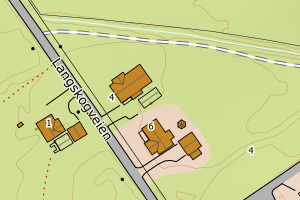 |
| 5532 Balsfjord | d4ec10d7-75c9-4a64-94e3-d9a507bfe5d1 | Mønelinje | N: 7695260.80, Ø: 648206.98 | 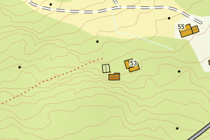 |
| 5532 Balsfjord | 94d346fe-785b-4dd5-9372-ce444d0d93c3 | Mønelinje | N: 7697985.97, Ø: 646437.60 | 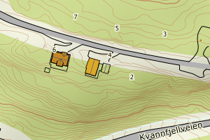 |
| 5532 Balsfjord | cc0296f9-ae75-46d8-9a4d-99544effe327 | Mønelinje | N: 7697794.79, Ø: 647267.06 |  |
| 5532 Balsfjord | 16ad5e39-c95e-4c7a-893c-60f06a67c85c | Mønelinje | N: 7697796.85, Ø: 647266.03 | 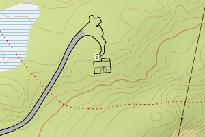 |
| 5532 Balsfjord | 6199ee2b-f889-44fa-a580-db19742fdbc7 | Mønelinje | N: 7696821.55, Ø: 650434.75 | 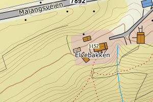 |
| 5532 Balsfjord | d9777402-2ee3-41ac-8704-17263fe55b92 | Mønelinje | N: 7689539.98, Ø: 646611.62 | 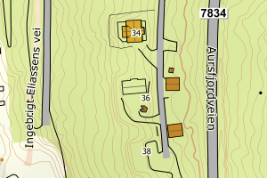 |
| 5532 Balsfjord | 2c2a67b1-ca40-4ac9-8f97-2e2b20369a81 | Mønelinje | N: 7702972.61, Ø: 641408.27 | 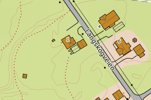 |
| 5532 Balsfjord | 7275bec1-42b2-46e5-b123-3b7e4d2a2d0b | TaksprangBunn | N: 7697801.01, Ø: 647265.63 |  |
| 5532 Balsfjord | 279d0048-3c79-48de-89f9-b8a16b2da545 | TaksprangBunn | N: 7694770.54, Ø: 649815.75 |  |
| 5532 Balsfjord | 10423b2a-4aed-4ce7-926e-1368990f3e45 | TaksprangBunn | N: 7694774.85, Ø: 649820.50 |  |
| 5532 Balsfjord | a538ea8c-df61-4a2f-b0e8-555cfa342f29 | TaksprangBunn | N: 7696050.17, Ø: 654455.36 | 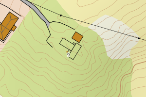 |
| 5532 Balsfjord | 4681bc34-dd38-4e7e-98c0-2ddaceb38923 | TaksprangBunn | N: 7685501.25, Ø: 680940.64 |  |
| 5532 Balsfjord | 5e7718e2-7bb2-4260-8a22-48501b147534 | TaksprangBunn | N: 7696053.85, Ø: 654456.67 |  |
| 5532 Balsfjord | 3f698159-644f-4bb9-a1a7-b08312b1df88 | TaksprangBunn | N: 7696046.78, Ø: 654452.58 | 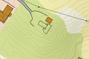 |