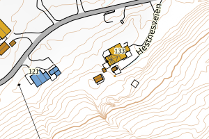
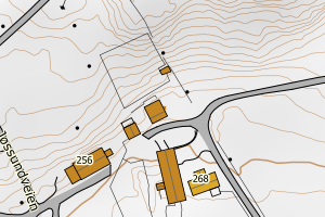
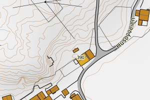
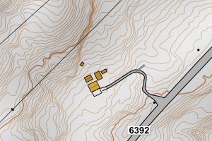
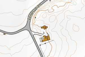
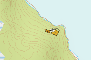
Avvikene skyldes vanligvis unøyaktig registrering av bygningspunkt i matrikkelen slik at det har havnet utenfor bygningsomriss. Rettes vanligvis i matrikkelen
Kommune | LokalId | Bygningsnummer | Avstand (m) | Posisjon | WMS-bilde |
5057 Ørland | e3f8e6c3-9334-4d68-8f91-b7d5359cf220 | 301431430 | 0.00 | N: 7061792.00, Ø: 530516.00 | ![Kartbilde fra WMS-tjeneste av avviket](https://wms.geonorge.no/skwms1/wms.topo?VERSION=1.1.1&SERVICE=WMS&REQUEST=GetMap&LAYERS=topo&STYLES=&FORMAT=image/png&SRS=EPSG:25832&BBOX=530440.0,7061742,530590.0,7061842&WIDTH=300&HEIGHT=200) |
5057 Ørland | 0867be90-e964-40dd-8ec9-ac5a8b5e9499 | 183580612 | 0.12 | N: 7081725.00, Ø: 536427.00 | ![Kartbilde fra WMS-tjeneste av avviket](https://wms.geonorge.no/skwms1/wms.topo?VERSION=1.1.1&SERVICE=WMS&REQUEST=GetMap&LAYERS=topo&STYLES=&FORMAT=image/png&SRS=EPSG:25832&BBOX=536351.0,7081675,536501.0,7081775&WIDTH=300&HEIGHT=200) |
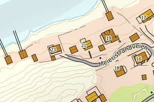
5057 Ørland | c4d488f6-1644-48d9-b975-db8be188452c | 23682958 | 0.22 | N: 7081715.00, Ø: 536387.00 | ![Kartbilde fra WMS-tjeneste av avviket](https://wms.geonorge.no/skwms1/wms.topo?VERSION=1.1.1&SERVICE=WMS&REQUEST=GetMap&LAYERS=topo&STYLES=&FORMAT=image/png&SRS=EPSG:25832&BBOX=536311.0,7081665,536461.0,7081765&WIDTH=300&HEIGHT=200) |
5057 Ørland | 0cb8e972-2d66-4737-9abe-759190b8370f | 300521909 | 0.28 | N: 7075692.69, Ø: 543624.78 | ![Kartbilde fra WMS-tjeneste av avviket](https://wms.geonorge.no/skwms1/wms.topo?VERSION=1.1.1&SERVICE=WMS&REQUEST=GetMap&LAYERS=topo&STYLES=&FORMAT=image/png&SRS=EPSG:25832&BBOX=543549.0,7075642,543699.0,7075742&WIDTH=300&HEIGHT=200) |
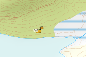
5057 Ørland | 0d377787-16f7-4132-8b58-41fbd3192ce1 | 300515753 | 0.28 | N: 7081120.28, Ø: 546636.50 | ![Kartbilde fra WMS-tjeneste av avviket](https://wms.geonorge.no/skwms1/wms.topo?VERSION=1.1.1&SERVICE=WMS&REQUEST=GetMap&LAYERS=topo&STYLES=&FORMAT=image/png&SRS=EPSG:25832&BBOX=546561.0,7081070,546711.0,7081170&WIDTH=300&HEIGHT=200) |
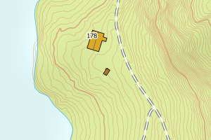
5057 Ørland | a418b966-d57c-45b1-b008-8fb883cd99f1 | 300515756 | 0.47 | N: 7080659.41, Ø: 546988.06 | ![Kartbilde fra WMS-tjeneste av avviket](https://wms.geonorge.no/skwms1/wms.topo?VERSION=1.1.1&SERVICE=WMS&REQUEST=GetMap&LAYERS=topo&STYLES=&FORMAT=image/png&SRS=EPSG:25832&BBOX=546913.0,7080609,547063.0,7080709&WIDTH=300&HEIGHT=200) |
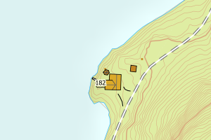
5057 Ørland | 578e1221-6a33-4858-8431-9f6b0dc875b2 | 183618822 | 0.57 | N: 7078731.42, Ø: 537039.48 | ![Kartbilde fra WMS-tjeneste av avviket](https://wms.geonorge.no/skwms1/wms.topo?VERSION=1.1.1&SERVICE=WMS&REQUEST=GetMap&LAYERS=topo&STYLES=&FORMAT=image/png&SRS=EPSG:25832&BBOX=536964.0,7078681,537114.0,7078781&WIDTH=300&HEIGHT=200) |
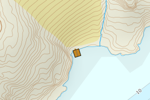
5057 Ørland | 21a70848-afeb-4900-9459-4dc4bd6c52ea | 300525475 | 0.57 | N: 7077876.44, Ø: 542227.93 | ![Kartbilde fra WMS-tjeneste av avviket](https://wms.geonorge.no/skwms1/wms.topo?VERSION=1.1.1&SERVICE=WMS&REQUEST=GetMap&LAYERS=topo&STYLES=&FORMAT=image/png&SRS=EPSG:25832&BBOX=542152.0,7077826,542302.0,7077926&WIDTH=300&HEIGHT=200) |
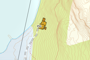
5057 Ørland | 97fe054a-3b14-4ac3-a4bc-420464aff4ad | 183611887 | 0.65 | N: 7079831.20, Ø: 539582.65 | ![Kartbilde fra WMS-tjeneste av avviket](https://wms.geonorge.no/skwms1/wms.topo?VERSION=1.1.1&SERVICE=WMS&REQUEST=GetMap&LAYERS=topo&STYLES=&FORMAT=image/png&SRS=EPSG:25832&BBOX=539507.0,7079781,539657.0,7079881&WIDTH=300&HEIGHT=200) |
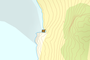
5057 Ørland | a81d2a70-f3c5-469b-98c8-3e9a9b6c8363 | 300526025 | 0.97 | N: 7078296.01, Ø: 544678.11 | ![Kartbilde fra WMS-tjeneste av avviket](https://wms.geonorge.no/skwms1/wms.topo?VERSION=1.1.1&SERVICE=WMS&REQUEST=GetMap&LAYERS=topo&STYLES=&FORMAT=image/png&SRS=EPSG:25832&BBOX=544603.0,7078246,544753.0,7078346&WIDTH=300&HEIGHT=200) |