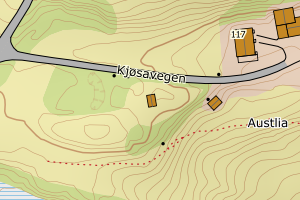
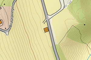
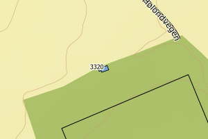
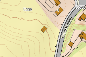
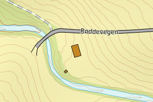
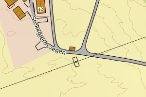
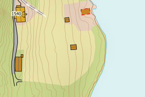
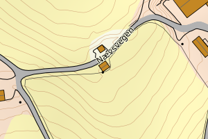
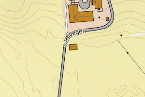
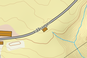
Avvikene kan skyldes enten feil bygningskoordinat eller bygningstype/status i matrikkel eller feil arealtype i AR5. Vær oppmerksom på det er krav om arealer på over 200 m2 før det er krav om endring av arealtype i AR5 så avvikene vil ikke alltid kreve retting i datagrunnlaget
Kommune | LokalId | Bygningsnummer | Arealtype | Bygningstatus | Bygningstype | matrikkel_vedtaksdato | Posisjon | WMS-bilde |
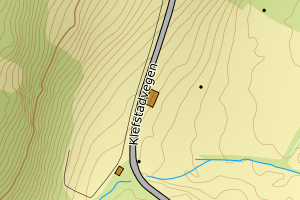
5028 Melhus | ae5a5369-648b-4509-96de-6a8d8e96e98d | 184582619 | 21 | TB | 241 | None | N: 7021022.00, Ø: 567312.00 | ![Kartbilde fra WMS-tjeneste av avviket](https://wms.geonorge.no/skwms1/wms.topo?VERSION=1.1.1&SERVICE=WMS&REQUEST=GetMap&LAYERS=topo&STYLES=&FORMAT=image/png&SRS=EPSG:25832&BBOX=567236.0,7020972,567386.0,7021072&WIDTH=300&HEIGHT=200) |
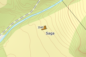
5028 Melhus | 05def764-b9a7-4698-9e18-f0789017bc49 | 184499347 | 21 | TB | 241 | None | N: 7004325.00, Ø: 551608.00 | ![Kartbilde fra WMS-tjeneste av avviket](https://wms.geonorge.no/skwms1/wms.topo?VERSION=1.1.1&SERVICE=WMS&REQUEST=GetMap&LAYERS=topo&STYLES=&FORMAT=image/png&SRS=EPSG:25832&BBOX=551532.0,7004275,551682.0,7004375&WIDTH=300&HEIGHT=200) |
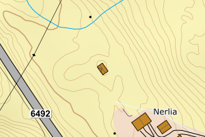
5028 Melhus | aa1157d8-55db-48cb-b9e0-a73451e565c7 | 22000284 | 21 | TB | 249 | None | N: 6997218.00, Ø: 561128.00 | ![Kartbilde fra WMS-tjeneste av avviket](https://wms.geonorge.no/skwms1/wms.topo?VERSION=1.1.1&SERVICE=WMS&REQUEST=GetMap&LAYERS=topo&STYLES=&FORMAT=image/png&SRS=EPSG:25832&BBOX=561052.0,6997168,561202.0,6997268&WIDTH=300&HEIGHT=200) |
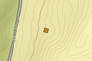
5028 Melhus | e69ce1ae-d7ad-4699-98be-fa58dc92a2c7 | 184491729 | 21 | TB | 111 | None | N: 7001445.00, Ø: 547067.00 | ![Kartbilde fra WMS-tjeneste av avviket](https://wms.geonorge.no/skwms1/wms.topo?VERSION=1.1.1&SERVICE=WMS&REQUEST=GetMap&LAYERS=topo&STYLES=&FORMAT=image/png&SRS=EPSG:25832&BBOX=546991.0,7001395,547141.0,7001495&WIDTH=300&HEIGHT=200) |
5028 Melhus | d109b779-9743-4679-bd0a-846de6e43352 | 184540703 | 21 | TB | 241 | None | N: 7007567.00, Ø: 565528.00 | ![Kartbilde fra WMS-tjeneste av avviket](https://wms.geonorge.no/skwms1/wms.topo?VERSION=1.1.1&SERVICE=WMS&REQUEST=GetMap&LAYERS=topo&STYLES=&FORMAT=image/png&SRS=EPSG:25832&BBOX=565452.0,7007517,565602.0,7007617&WIDTH=300&HEIGHT=200) |
5028 Melhus | d8af5959-ccc6-4b4c-935c-9b9457e75bf5 | 184536323 | 21 | TB | 241 | None | N: 7008888.00, Ø: 565954.00 | ![Kartbilde fra WMS-tjeneste av avviket](https://wms.geonorge.no/skwms1/wms.topo?VERSION=1.1.1&SERVICE=WMS&REQUEST=GetMap&LAYERS=topo&STYLES=&FORMAT=image/png&SRS=EPSG:25832&BBOX=565878.0,7008838,566028.0,7008938&WIDTH=300&HEIGHT=200) |
5028 Melhus | 83116c9c-40aa-4d11-a363-e701a66dded0 | 184490358 | 21 | TB | 659 | None | N: 6999655.00, Ø: 548155.00 | ![Kartbilde fra WMS-tjeneste av avviket](https://wms.geonorge.no/skwms1/wms.topo?VERSION=1.1.1&SERVICE=WMS&REQUEST=GetMap&LAYERS=topo&STYLES=&FORMAT=image/png&SRS=EPSG:25832&BBOX=548079.0,6999605,548229.0,6999705&WIDTH=300&HEIGHT=200) |
5028 Melhus | d7ed2643-1178-46af-9f83-89dae9a37e68 | 184495651 | 21 | TB | 249 | None | N: 6998500.00, Ø: 551177.00 | ![Kartbilde fra WMS-tjeneste av avviket](https://wms.geonorge.no/skwms1/wms.topo?VERSION=1.1.1&SERVICE=WMS&REQUEST=GetMap&LAYERS=topo&STYLES=&FORMAT=image/png&SRS=EPSG:25832&BBOX=551101.0,6998450,551251.0,6998550&WIDTH=300&HEIGHT=200) |
5028 Melhus | 1ed00bf7-d165-4b37-8493-ca8e0235ea8c | 184535106 | 21 | TB | 241 | None | N: 7009830.30, Ø: 564398.90 | ![Kartbilde fra WMS-tjeneste av avviket](https://wms.geonorge.no/skwms1/wms.topo?VERSION=1.1.1&SERVICE=WMS&REQUEST=GetMap&LAYERS=topo&STYLES=&FORMAT=image/png&SRS=EPSG:25832&BBOX=564323.0,7009780,564473.0,7009880&WIDTH=300&HEIGHT=200) |
5028 Melhus | 9cdd08e1-3682-4c60-9934-d751c68ccb36 | 21999989 | 21 | TB | 249 | None | N: 6998028.00, Ø: 562885.00 | ![Kartbilde fra WMS-tjeneste av avviket](https://wms.geonorge.no/skwms1/wms.topo?VERSION=1.1.1&SERVICE=WMS&REQUEST=GetMap&LAYERS=topo&STYLES=&FORMAT=image/png&SRS=EPSG:25832&BBOX=562809.0,6997978,562959.0,6998078&WIDTH=300&HEIGHT=200) |
5028 Melhus | 8fe279aa-fa68-4dd9-b335-7cd8b612ceb4 | 184548453 | 21 | TB | 241 | None | N: 7011343.00, Ø: 564129.00 | ![Kartbilde fra WMS-tjeneste av avviket](https://wms.geonorge.no/skwms1/wms.topo?VERSION=1.1.1&SERVICE=WMS&REQUEST=GetMap&LAYERS=topo&STYLES=&FORMAT=image/png&SRS=EPSG:25832&BBOX=564053.0,7011293,564203.0,7011393&WIDTH=300&HEIGHT=200) |
5028 Melhus | 5ac6e6e7-3e1d-449d-af61-51d92efd4c0f | 184490455 | 21 | TB | 249 | None | N: 6998573.00, Ø: 547048.00 | ![Kartbilde fra WMS-tjeneste av avviket](https://wms.geonorge.no/skwms1/wms.topo?VERSION=1.1.1&SERVICE=WMS&REQUEST=GetMap&LAYERS=topo&STYLES=&FORMAT=image/png&SRS=EPSG:25832&BBOX=546972.0,6998523,547122.0,6998623&WIDTH=300&HEIGHT=200) |
5028 Melhus | 7b46a889-e553-429a-a1a6-b12c9cbc3503 | 184501570 | 21 | TB | 249 | None | N: 7006194.00, Ø: 553166.00 | ![Kartbilde fra WMS-tjeneste av avviket](https://wms.geonorge.no/skwms1/wms.topo?VERSION=1.1.1&SERVICE=WMS&REQUEST=GetMap&LAYERS=topo&STYLES=&FORMAT=image/png&SRS=EPSG:25832&BBOX=553090.0,7006144,553240.0,7006244&WIDTH=300&HEIGHT=200) |
5028 Melhus | 7bbde213-2c52-42ad-a68f-b4b963ebab0e | 184579235 | 21 | TB | 249 | None | N: 7007335.00, Ø: 568726.00 | ![Kartbilde fra WMS-tjeneste av avviket](https://wms.geonorge.no/skwms1/wms.topo?VERSION=1.1.1&SERVICE=WMS&REQUEST=GetMap&LAYERS=topo&STYLES=&FORMAT=image/png&SRS=EPSG:25832&BBOX=568650.0,7007285,568800.0,7007385&WIDTH=300&HEIGHT=200) |
5028 Melhus | e1dbc7e8-5dba-4cac-94c1-c38dbf3a29ae | 184586231 | 21 | TB | 249 | None | N: 7002618.00, Ø: 546258.00 | ![Kartbilde fra WMS-tjeneste av avviket](https://wms.geonorge.no/skwms1/wms.topo?VERSION=1.1.1&SERVICE=WMS&REQUEST=GetMap&LAYERS=topo&STYLES=&FORMAT=image/png&SRS=EPSG:25832&BBOX=546182.0,7002568,546332.0,7002668&WIDTH=300&HEIGHT=200) |
5028 Melhus | 86c1edc1-9b79-4320-9b6d-a7ebb466fb1a | 184585944 | 21 | TB | 249 | None | N: 7002895.00, Ø: 546432.70 | ![Kartbilde fra WMS-tjeneste av avviket](https://wms.geonorge.no/skwms1/wms.topo?VERSION=1.1.1&SERVICE=WMS&REQUEST=GetMap&LAYERS=topo&STYLES=&FORMAT=image/png&SRS=EPSG:25832&BBOX=546357.0,7002845,546507.0,7002945&WIDTH=300&HEIGHT=200) |
5028 Melhus | a13a50e6-08fe-41ba-8f6f-b05e801920b5 | 184518015 | 21 | TB | 649 | None | N: 6998667.00, Ø: 562451.00 | ![Kartbilde fra WMS-tjeneste av avviket](https://wms.geonorge.no/skwms1/wms.topo?VERSION=1.1.1&SERVICE=WMS&REQUEST=GetMap&LAYERS=topo&STYLES=&FORMAT=image/png&SRS=EPSG:25832&BBOX=562375.0,6998617,562525.0,6998717&WIDTH=300&HEIGHT=200) |
5028 Melhus | 0bd7864a-dce0-431f-81dc-bbc3cef04d7b | 21994987 | 21 | TB | 182 | None | N: 7007984.00, Ø: 557377.00 | ![Kartbilde fra WMS-tjeneste av avviket](https://wms.geonorge.no/skwms1/wms.topo?VERSION=1.1.1&SERVICE=WMS&REQUEST=GetMap&LAYERS=topo&STYLES=&FORMAT=image/png&SRS=EPSG:25832&BBOX=557301.0,7007934,557451.0,7008034&WIDTH=300&HEIGHT=200) |
5028 Melhus | fb2c8594-3047-4aaa-9774-01bb0bfb254b | 184574691 | 21 | TB | 181 | None | N: 7020338.00, Ø: 566713.00 | ![Kartbilde fra WMS-tjeneste av avviket](https://wms.geonorge.no/skwms1/wms.topo?VERSION=1.1.1&SERVICE=WMS&REQUEST=GetMap&LAYERS=topo&STYLES=&FORMAT=image/png&SRS=EPSG:25832&BBOX=566637.0,7020288,566787.0,7020388&WIDTH=300&HEIGHT=200) |