Avvikene skyldes enten feilregistrering i matrikkel eller manglende bygningsdelelinje i FKB-Bygning. Rettes i matrikkelen eller FKB-Bygning
| Kommune | LokalId | Bygningsnummer (punkt) | Bygningsnummer (flate) | Posisjon | WMS-bilde |
|---|
| 4649 Stad | 4d15b321-76ad-4c8e-bbd7-a1e7c9a44964 | 178303163 | 15390506 | N: 6873041.00, Ø: 320757.00 | 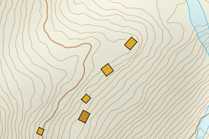 |
| 4649 Stad | 8b4722f7-7bd9-4dca-837e-94b8bb5cce78 | 301396065 | 10052467 | N: 6872430.78, Ø: 350876.17 | 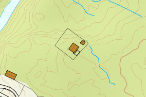 |
| 4649 Stad | 290b8473-066d-4847-8c6d-3973b27bbff7 | 301532898 | 178264842 | N: 6893062.86, Ø: 307987.76 | 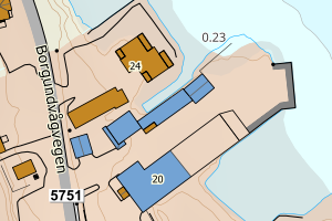 |
| 4649 Stad | ae63c86f-46b5-402b-8311-fe9593bd3318 | 301351404 | 178344994 | N: 6862489.60, Ø: 346396.20 | 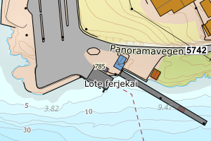 |
| 4649 Stad | 74907092-c845-4644-844a-8f99533bab56 | 301548152 | 10040477 | N: 6889462.87, Ø: 311654.19 | 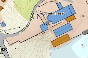 |
| 4649 Stad | ab8fed00-8557-4c38-b0b0-4226e27525ce | 301447218 | 301447227 | N: 6867409.90, Ø: 342372.10 | 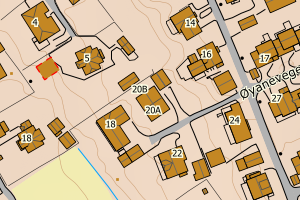 |
| 4649 Stad | b82b027d-8317-48b0-ac4b-20d074cc4ec4 | 19060926 | 178164872 | N: 6871909.00, Ø: 310615.00 | 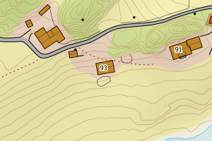 |
| 4649 Stad | 41b80d20-dafc-40b3-9f04-7693c1bcf651 | 178259636 | 10045797 | N: 6884100.00, Ø: 308630.00 | 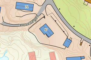 |
| 4649 Stad | 19181692-8619-4152-95ee-994520b4456a | 178254936 | 20266295 | N: 6879638.00, Ø: 307908.00 | 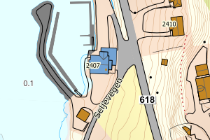 |