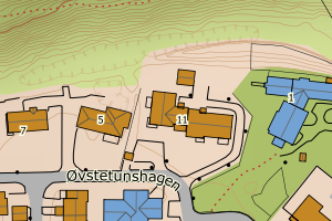
Avvikene skyldes oftest manglende eller unøyaktig registrering av bygningspunkt i matrikkelen. Rettes vanligvis i matrikkelen
Kommune | LokalId | Areal (m2) | Posisjon | WMS-bilde |
4643 Årdal | b9254e3a-f4c0-4aa1-92bf-28dee7045aa5 | 1700.42 | N: 6798425.51, Ø: 437421.88 | ![Kartbilde fra WMS-tjeneste av avviket](https://wms.geonorge.no/skwms1/wms.topo?VERSION=1.1.1&SERVICE=WMS&REQUEST=GetMap&LAYERS=topo&STYLES=&FORMAT=image/png&SRS=EPSG:25832&BBOX=437346.0,6798375,437496.0,6798475&WIDTH=300&HEIGHT=200) |
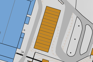
4643 Årdal | 10b17395-e6c0-457d-84cb-99e73b481331 | 1210.86 | N: 6789788.83, Ø: 430570.23 | ![Kartbilde fra WMS-tjeneste av avviket](https://wms.geonorge.no/skwms1/wms.topo?VERSION=1.1.1&SERVICE=WMS&REQUEST=GetMap&LAYERS=topo&STYLES=&FORMAT=image/png&SRS=EPSG:25832&BBOX=430495.0,6789738,430645.0,6789838&WIDTH=300&HEIGHT=200) |
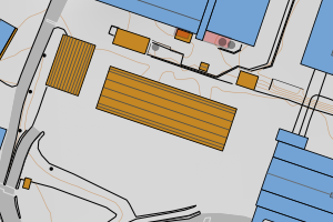
4643 Årdal | ef948efe-371c-460a-8e88-8e50a524949b | 1114.00 | N: 6798292.10, Ø: 437101.94 | ![Kartbilde fra WMS-tjeneste av avviket](https://wms.geonorge.no/skwms1/wms.topo?VERSION=1.1.1&SERVICE=WMS&REQUEST=GetMap&LAYERS=topo&STYLES=&FORMAT=image/png&SRS=EPSG:25832&BBOX=437026.0,6798242,437176.0,6798342&WIDTH=300&HEIGHT=200) |
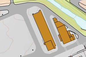
4643 Årdal | dabcc283-b684-430e-a471-ffd490d7a697 | 1009.12 | N: 6798531.68, Ø: 437429.14 | ![Kartbilde fra WMS-tjeneste av avviket](https://wms.geonorge.no/skwms1/wms.topo?VERSION=1.1.1&SERVICE=WMS&REQUEST=GetMap&LAYERS=topo&STYLES=&FORMAT=image/png&SRS=EPSG:25832&BBOX=437354.0,6798481,437504.0,6798581&WIDTH=300&HEIGHT=200) |
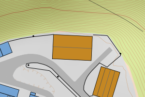
4643 Årdal | ad919fb0-bb66-4d7d-a2e2-3564a33ea242 | 870.11 | N: 6797636.83, Ø: 436116.36 | ![Kartbilde fra WMS-tjeneste av avviket](https://wms.geonorge.no/skwms1/wms.topo?VERSION=1.1.1&SERVICE=WMS&REQUEST=GetMap&LAYERS=topo&STYLES=&FORMAT=image/png&SRS=EPSG:25832&BBOX=436041.0,6797586,436191.0,6797686&WIDTH=300&HEIGHT=200) |
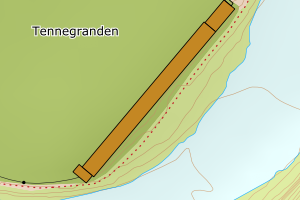
4643 Årdal | 748c115a-a8a4-463f-92e8-6eec32797a54 | 690.01 | N: 6789801.27, Ø: 430805.29 | ![Kartbilde fra WMS-tjeneste av avviket](https://wms.geonorge.no/skwms1/wms.topo?VERSION=1.1.1&SERVICE=WMS&REQUEST=GetMap&LAYERS=topo&STYLES=&FORMAT=image/png&SRS=EPSG:25832&BBOX=430730.0,6789751,430880.0,6789851&WIDTH=300&HEIGHT=200) |
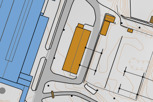
4643 Årdal | c49b5a61-b3c0-47d4-bbdc-840826fe5acc | 647.48 | N: 6789562.61, Ø: 436717.39 | ![Kartbilde fra WMS-tjeneste av avviket](https://wms.geonorge.no/skwms1/wms.topo?VERSION=1.1.1&SERVICE=WMS&REQUEST=GetMap&LAYERS=topo&STYLES=&FORMAT=image/png&SRS=EPSG:25832&BBOX=436642.0,6789512,436792.0,6789612&WIDTH=300&HEIGHT=200) |
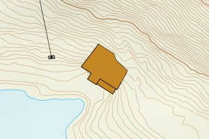
4643 Årdal | a7d1dcc8-f29c-48ec-a94a-3985c2d336ea | 619.87 | N: 6798494.63, Ø: 437464.18 | ![Kartbilde fra WMS-tjeneste av avviket](https://wms.geonorge.no/skwms1/wms.topo?VERSION=1.1.1&SERVICE=WMS&REQUEST=GetMap&LAYERS=topo&STYLES=&FORMAT=image/png&SRS=EPSG:25832&BBOX=437389.0,6798444,437539.0,6798544&WIDTH=300&HEIGHT=200) |
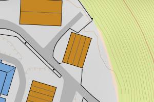
4643 Årdal | adcbf843-2502-4f8f-9f1b-d247fed1e975 | 550.16 | N: 6798288.34, Ø: 436929.30 | ![Kartbilde fra WMS-tjeneste av avviket](https://wms.geonorge.no/skwms1/wms.topo?VERSION=1.1.1&SERVICE=WMS&REQUEST=GetMap&LAYERS=topo&STYLES=&FORMAT=image/png&SRS=EPSG:25832&BBOX=436854.0,6798238,437004.0,6798338&WIDTH=300&HEIGHT=200) |
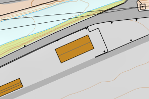
4643 Årdal | 60a7dc30-9c46-4673-9f52-a64e416ed7bb | 517.08 | N: 6798006.71, Ø: 437055.54 | ![Kartbilde fra WMS-tjeneste av avviket](https://wms.geonorge.no/skwms1/wms.topo?VERSION=1.1.1&SERVICE=WMS&REQUEST=GetMap&LAYERS=topo&STYLES=&FORMAT=image/png&SRS=EPSG:25832&BBOX=436980.0,6797956,437130.0,6798056&WIDTH=300&HEIGHT=200) |
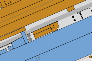
4643 Årdal | 922ad841-545e-4312-89b6-b6da3c6876fe | 512.08 | N: 6798184.29, Ø: 437266.48 | ![Kartbilde fra WMS-tjeneste av avviket](https://wms.geonorge.no/skwms1/wms.topo?VERSION=1.1.1&SERVICE=WMS&REQUEST=GetMap&LAYERS=topo&STYLES=&FORMAT=image/png&SRS=EPSG:25832&BBOX=437191.0,6798134,437341.0,6798234&WIDTH=300&HEIGHT=200) |
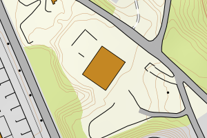
4643 Årdal | ef8ab5de-652c-4f0c-855a-93ee7cf659c2 | 463.13 | N: 6799001.98, Ø: 437818.36 | ![Kartbilde fra WMS-tjeneste av avviket](https://wms.geonorge.no/skwms1/wms.topo?VERSION=1.1.1&SERVICE=WMS&REQUEST=GetMap&LAYERS=topo&STYLES=&FORMAT=image/png&SRS=EPSG:25832&BBOX=437743.0,6798951,437893.0,6799051&WIDTH=300&HEIGHT=200) |
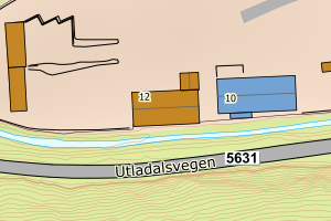
4643 Årdal | 8b29ef44-6f68-45f9-9b80-5c81ce5f491a | 453.63 | N: 6784893.11, Ø: 425770.63 | ![Kartbilde fra WMS-tjeneste av avviket](https://wms.geonorge.no/skwms1/wms.topo?VERSION=1.1.1&SERVICE=WMS&REQUEST=GetMap&LAYERS=topo&STYLES=&FORMAT=image/png&SRS=EPSG:25832&BBOX=425695.0,6784843,425845.0,6784943&WIDTH=300&HEIGHT=200) |
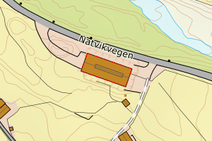
4643 Årdal | a2d186bb-2a5e-44be-b8f5-b8dd1967c601 | 372.19 | N: 6789808.42, Ø: 430527.07 | ![Kartbilde fra WMS-tjeneste av avviket](https://wms.geonorge.no/skwms1/wms.topo?VERSION=1.1.1&SERVICE=WMS&REQUEST=GetMap&LAYERS=topo&STYLES=&FORMAT=image/png&SRS=EPSG:25832&BBOX=430452.0,6789758,430602.0,6789858&WIDTH=300&HEIGHT=200) |
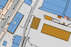
4643 Årdal | 3484e3f7-b93f-4914-956a-44f675cff370 | 372.14 | N: 6781610.13, Ø: 432780.04 | ![Kartbilde fra WMS-tjeneste av avviket](https://wms.geonorge.no/skwms1/wms.topo?VERSION=1.1.1&SERVICE=WMS&REQUEST=GetMap&LAYERS=topo&STYLES=&FORMAT=image/png&SRS=EPSG:25832&BBOX=432705.0,6781560,432855.0,6781660&WIDTH=300&HEIGHT=200) |
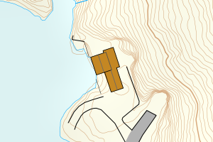
4643 Årdal | d9a428e9-2f6a-4d52-88a9-aa986244a9d2 | 357.56 | N: 6789680.08, Ø: 430782.87 | ![Kartbilde fra WMS-tjeneste av avviket](https://wms.geonorge.no/skwms1/wms.topo?VERSION=1.1.1&SERVICE=WMS&REQUEST=GetMap&LAYERS=topo&STYLES=&FORMAT=image/png&SRS=EPSG:25832&BBOX=430707.0,6789630,430857.0,6789730&WIDTH=300&HEIGHT=200) |
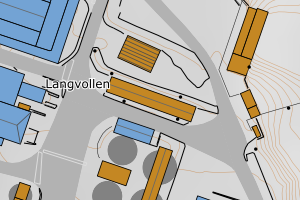
4643 Årdal | b5e55545-6f2a-4e99-ac6f-2281acb104de | 337.44 | N: 6798073.87, Ø: 437411.56 | ![Kartbilde fra WMS-tjeneste av avviket](https://wms.geonorge.no/skwms1/wms.topo?VERSION=1.1.1&SERVICE=WMS&REQUEST=GetMap&LAYERS=topo&STYLES=&FORMAT=image/png&SRS=EPSG:25832&BBOX=437336.0,6798023,437486.0,6798123&WIDTH=300&HEIGHT=200) |
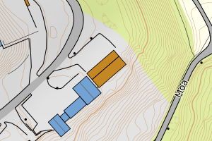
4643 Årdal | 9836b6c5-7a68-40ea-a0ef-41f529d18edc | 337.33 | N: 6789713.43, Ø: 430832.51 | ![Kartbilde fra WMS-tjeneste av avviket](https://wms.geonorge.no/skwms1/wms.topo?VERSION=1.1.1&SERVICE=WMS&REQUEST=GetMap&LAYERS=topo&STYLES=&FORMAT=image/png&SRS=EPSG:25832&BBOX=430757.0,6789663,430907.0,6789763&WIDTH=300&HEIGHT=200) |
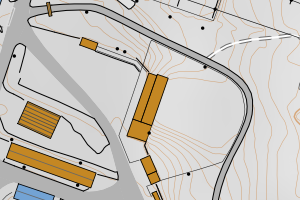
4643 Årdal | 3ecf59e8-7993-4f65-8ef3-e192002a499c | 316.51 | N: 6799030.44, Ø: 437750.36 | ![Kartbilde fra WMS-tjeneste av avviket](https://wms.geonorge.no/skwms1/wms.topo?VERSION=1.1.1&SERVICE=WMS&REQUEST=GetMap&LAYERS=topo&STYLES=&FORMAT=image/png&SRS=EPSG:25832&BBOX=437675.0,6798980,437825.0,6799080&WIDTH=300&HEIGHT=200) |
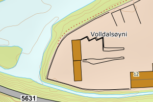
4643 Årdal | 68d50c55-32fe-44f9-a11a-51908eba6473 | 306.37 | N: 6789837.62, Ø: 431380.76 | ![Kartbilde fra WMS-tjeneste av avviket](https://wms.geonorge.no/skwms1/wms.topo?VERSION=1.1.1&SERVICE=WMS&REQUEST=GetMap&LAYERS=topo&STYLES=&FORMAT=image/png&SRS=EPSG:25832&BBOX=431305.0,6789787,431455.0,6789887&WIDTH=300&HEIGHT=200) |
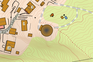
4643 Årdal | e5e40ea2-aedb-40a1-b4ea-bec486eb8a34 | 295.69 | N: 6798225.49, Ø: 436806.41 | ![Kartbilde fra WMS-tjeneste av avviket](https://wms.geonorge.no/skwms1/wms.topo?VERSION=1.1.1&SERVICE=WMS&REQUEST=GetMap&LAYERS=topo&STYLES=&FORMAT=image/png&SRS=EPSG:25832&BBOX=436731.0,6798175,436881.0,6798275&WIDTH=300&HEIGHT=200) |
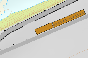
4643 Årdal | c4b98671-a0cb-4fba-b994-33dfc2b168da | 291.27 | N: 6798106.63, Ø: 437281.78 | ![Kartbilde fra WMS-tjeneste av avviket](https://wms.geonorge.no/skwms1/wms.topo?VERSION=1.1.1&SERVICE=WMS&REQUEST=GetMap&LAYERS=topo&STYLES=&FORMAT=image/png&SRS=EPSG:25832&BBOX=437206.0,6798056,437356.0,6798156&WIDTH=300&HEIGHT=200) |
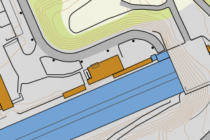
4643 Årdal | af9802f7-8494-4444-b1ff-586d309f90d7 | 289.42 | N: 6781361.17, Ø: 423105.65 | ![Kartbilde fra WMS-tjeneste av avviket](https://wms.geonorge.no/skwms1/wms.topo?VERSION=1.1.1&SERVICE=WMS&REQUEST=GetMap&LAYERS=topo&STYLES=&FORMAT=image/png&SRS=EPSG:25832&BBOX=423030.0,6781311,423180.0,6781411&WIDTH=300&HEIGHT=200) |
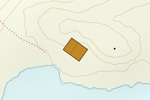
4643 Årdal | 368b5740-72be-47b4-aa57-ffe1696e1295 | 281.58 | N: 6794982.40, Ø: 448980.60 | ![Kartbilde fra WMS-tjeneste av avviket](https://wms.geonorge.no/skwms1/wms.topo?VERSION=1.1.1&SERVICE=WMS&REQUEST=GetMap&LAYERS=topo&STYLES=&FORMAT=image/png&SRS=EPSG:25832&BBOX=448905.0,6794932,449055.0,6795032&WIDTH=300&HEIGHT=200) |
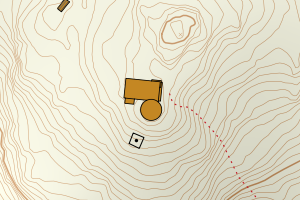
4643 Årdal | 388a736c-36d0-4c7c-be1c-b210bdc012fb | 273.21 | N: 6791656.03, Ø: 427978.22 | ![Kartbilde fra WMS-tjeneste av avviket](https://wms.geonorge.no/skwms1/wms.topo?VERSION=1.1.1&SERVICE=WMS&REQUEST=GetMap&LAYERS=topo&STYLES=&FORMAT=image/png&SRS=EPSG:25832&BBOX=427903.0,6791606,428053.0,6791706&WIDTH=300&HEIGHT=200) |
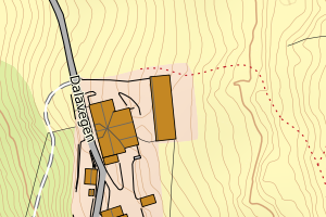
4643 Årdal | 678ebd5e-88a6-4560-a227-6cc9a9476e8d | 273.02 | N: 6789606.90, Ø: 430756.20 | ![Kartbilde fra WMS-tjeneste av avviket](https://wms.geonorge.no/skwms1/wms.topo?VERSION=1.1.1&SERVICE=WMS&REQUEST=GetMap&LAYERS=topo&STYLES=&FORMAT=image/png&SRS=EPSG:25832&BBOX=430681.0,6789556,430831.0,6789656&WIDTH=300&HEIGHT=200) |
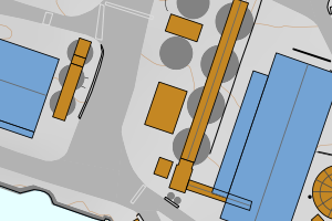
4643 Årdal | 58fafaf8-c0a6-441c-8dcd-ca40f9d0c2fe | 272.65 | N: 6784423.95, Ø: 426221.29 | ![Kartbilde fra WMS-tjeneste av avviket](https://wms.geonorge.no/skwms1/wms.topo?VERSION=1.1.1&SERVICE=WMS&REQUEST=GetMap&LAYERS=topo&STYLES=&FORMAT=image/png&SRS=EPSG:25832&BBOX=426146.0,6784373,426296.0,6784473&WIDTH=300&HEIGHT=200) |
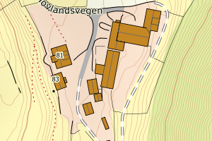
4643 Årdal | 98498807-062e-4603-90b5-4fa8448c196c | 228.71 | N: 6790734.31, Ø: 427887.18 | ![Kartbilde fra WMS-tjeneste av avviket](https://wms.geonorge.no/skwms1/wms.topo?VERSION=1.1.1&SERVICE=WMS&REQUEST=GetMap&LAYERS=topo&STYLES=&FORMAT=image/png&SRS=EPSG:25832&BBOX=427812.0,6790684,427962.0,6790784&WIDTH=300&HEIGHT=200) |
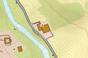
4643 Årdal | 7d93b68d-e33e-44a6-ae63-6df3bd0124ab | 228.09 | N: 6790172.57, Ø: 430803.39 | ![Kartbilde fra WMS-tjeneste av avviket](https://wms.geonorge.no/skwms1/wms.topo?VERSION=1.1.1&SERVICE=WMS&REQUEST=GetMap&LAYERS=topo&STYLES=&FORMAT=image/png&SRS=EPSG:25832&BBOX=430728.0,6790122,430878.0,6790222&WIDTH=300&HEIGHT=200) |
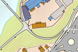
4643 Årdal | 3b591582-8d21-47ed-a166-a8b796a1a5ea | 220.09 | N: 6789702.74, Ø: 430776.81 | ![Kartbilde fra WMS-tjeneste av avviket](https://wms.geonorge.no/skwms1/wms.topo?VERSION=1.1.1&SERVICE=WMS&REQUEST=GetMap&LAYERS=topo&STYLES=&FORMAT=image/png&SRS=EPSG:25832&BBOX=430701.0,6789652,430851.0,6789752&WIDTH=300&HEIGHT=200) |
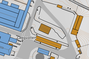
4643 Årdal | 255b1b4e-ad8f-465e-a3e9-3ddbc5c50576 | 209.30 | N: 6798149.73, Ø: 435230.41 | ![Kartbilde fra WMS-tjeneste av avviket](https://wms.geonorge.no/skwms1/wms.topo?VERSION=1.1.1&SERVICE=WMS&REQUEST=GetMap&LAYERS=topo&STYLES=&FORMAT=image/png&SRS=EPSG:25832&BBOX=435155.0,6798099,435305.0,6798199&WIDTH=300&HEIGHT=200) |