Avvikene skyldes oftest manglende oppdatering av kartreg-egenskapen i FKB-Tiltak. Rettes vanligvis i FKB-Tiltak. Kan også være tilbygg som er kodet feil som nybygg i tiltaksbasen, men riktig i matrikkelen.
| Kommune | LokalId | Tiltak_Byggnr | Saksreferanse | Byggstatus | Tiltak_Avgjørelsesdato | Matrikkel_Bygningsstatus | Matrikkel_Vedtaksdato | Posisjon | WMS-bilde |
|---|
| 4642 Lærdal | d9341195-e135-478c-9750-29b091b685fb | 301510160 | 24/707 | 181 | 2025-08-21 00:00:00 | FA | 2025-08-21 | N: 6774693.67, Ø: 418541.68 | 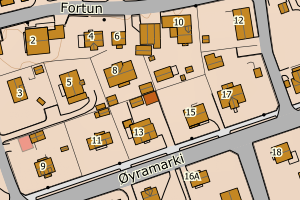 |
| 4642 Lærdal | 0d94a708-44db-478c-84d3-2d994d27d7e7 | 300831422 | 2020000928 | 113 | 2020-10-08 00:00:00 | FA | 2025-05-28 | N: 6773921.32, Ø: 438806.29 | 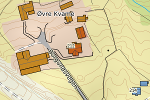 |
| 4642 Lærdal | b7b0d145-c167-4b08-91f3-40a7437eac79 | 300831423 | 2020000928 | 181 | 2020-10-08 00:00:00 | FA | 2025-05-28 | N: 6773937.65, Ø: 438813.04 |  |
| 4642 Lærdal | 1f0418d8-ed22-4953-ad85-0ba7d4de75df | None | 028/22 | 113 | 2022-04-01 00:00:00 | FA | 2023-12-08 | N: 6768319.47, Ø: 425261.55 |  |
| 4642 Lærdal | 725d94f5-355a-479d-a9fd-182550333609 | 301056933 | 2021000023 | 111 | 2021-04-05 00:00:00 | FA | 2023-12-07 | N: 6769018.95, Ø: 424331.39 | 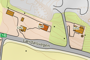 |
| 4642 Lærdal | 2ec9b271-4d9f-4003-958d-e5c5668a058e | 301241817 | 041/15 | 182 | 2015-04-21 00:00:00 | FA | 2023-08-30 | N: 6782197.53, Ø: 449962.13 | 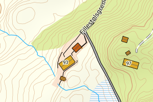 |
| 4642 Lærdal | 09ee7534-82e5-4e3a-ae00-0394f1dd3160 | 301433311 | 20/1153 | 219 | 2025-01-14 00:00:00 | FA | 2023-08-25 | N: 6770686.82, Ø: 419690.49 | 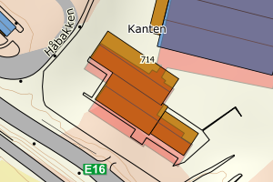 |
| 4642 Lærdal | 6a05fb54-8fdb-4446-b69c-a6fa7d1b6fc5 | 301277685 | 142/17 | 171 | 2017-11-01 00:00:00 | FA | 2023-08-03 | N: 6774272.77, Ø: 444562.78 | 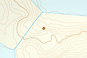 |
| 4642 Lærdal | 68b45021-de49-468f-b14f-1b8041eb7b64 | 301239013 | 009/22 | 181 | 2022-02-10 00:00:00 | FA | 2023-07-06 | N: 6766047.92, Ø: 447561.23 | 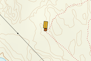 |
| 4642 Lærdal | 44ac9160-e583-4921-9ba5-2a2037b888da | 301237958 | 049/22 | 161 | 2022-06-08 00:00:00 | FA | 2023-04-20 | N: 6782978.38, Ø: 450114.62 | 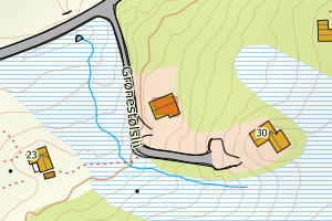 |
| 4642 Lærdal | e41f2920-4f43-41dd-b883-cc2c0a53fb62 | None | 049/22 | 161 | 2022-06-08 00:00:00 | FA | 2023-04-20 | N: 6782978.13, Ø: 450114.68 |  |
| 4642 Lærdal | 1903a36a-8893-43bd-8021-1eeaebb56c45 | 301238866 | 063/21 | 241 | 2021-07-21 00:00:00 | FA | 2022-11-29 | N: 6771697.41, Ø: 440437.99 | 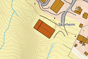 |
| 4642 Lærdal | b860c304-2c97-4f91-9879-ca7054276105 | 301239053 | 064/20 | 182 | 2020-08-17 00:00:00 | FA | 2022-07-14 | N: 6779459.19, Ø: 446098.43 | 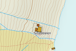 |
| 4642 Lærdal | 2064b201-a9d6-4170-ae12-191f8a8e722a | 301074241 | 2020001153 | 219 | 2021-05-25 00:00:00 | FA | 2022-07-14 | N: 6770733.90, Ø: 419741.17 |  |
| 4642 Lærdal | f5e973ef-85e9-4965-beeb-73cda39eb6a0 | None | 2014000586 | 161 | 2015-12-23 00:00:00 | MB | 2015-03-24 | N: 6775520.29, Ø: 449216.57 | 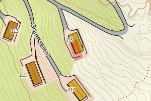 |
| 4642 Lærdal | 8599389c-1bd5-4d65-a251-d9ebe845344e | 300443877 | 2014000575 | 111 | 2014-06-17 00:00:00 | MB | 2015-03-04 | N: 6774566.37, Ø: 418458.03 | 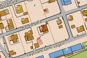 |
| 4642 Lærdal | 3a303d6b-3dbb-4ec8-bf51-83b007a7be0d | 300235982 | 2011577 | 161 | 2011-07-18 00:00:00 | FA | 2012-09-25 | N: 6775497.56, Ø: 448902.22 | 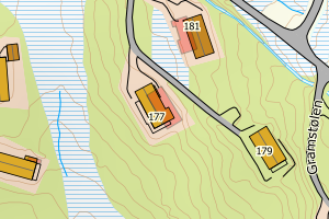 |
| 4642 Lærdal | 671c14a3-d29d-496d-9a4f-266722b42b64 | 300147310 | 2009610 | 161 | 2009-08-22 00:00:00 | FA | 2011-05-05 | N: 6775531.86, Ø: 448911.58 | 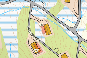 |
| 4642 Lærdal | c1091afa-66c2-4bc9-b253-5a104771c955 | None | 2019001034 | 241 | 2019-09-09 00:00:00 | TB | Ingen vedtaksdato | N: 6771400.01, Ø: 440844.68 | 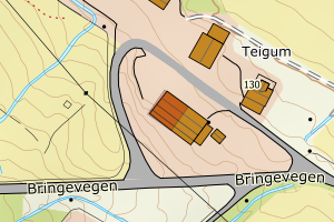 |