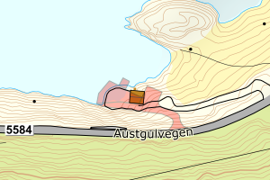
Avvikene skyldes vanligvis unøyaktig registrering av bygningspunkt i matrikkelen slik at det har havnet utenfor bygningsomriss. Rettes vanligvis i matrikkelen
Kommune | LokalId | Bygningsnummer | Avstand (m) | Posisjon | WMS-bilde |
4635 Gulen | 058b25ce-a64a-4588-9194-5d29eba91537 | 20028939 | 0.12 | N: 6762143.00, Ø: 288095.00 | ![Kartbilde fra WMS-tjeneste av avviket](https://wms.geonorge.no/skwms1/wms.topo?VERSION=1.1.1&SERVICE=WMS&REQUEST=GetMap&LAYERS=topo&STYLES=&FORMAT=image/png&SRS=EPSG:25832&BBOX=288019.0,6762092,288169.0,6762192&WIDTH=300&HEIGHT=200) |
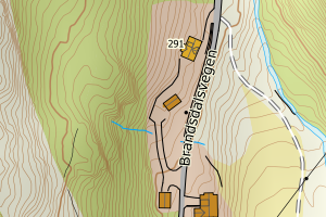
4635 Gulen | f9a99f2d-ca74-409b-90ed-02fe6f029f46 | 176773030 | 0.15 | N: 6763461.00, Ø: 306143.00 | ![Kartbilde fra WMS-tjeneste av avviket](https://wms.geonorge.no/skwms1/wms.topo?VERSION=1.1.1&SERVICE=WMS&REQUEST=GetMap&LAYERS=topo&STYLES=&FORMAT=image/png&SRS=EPSG:25832&BBOX=306067.0,6763410,306217.0,6763510&WIDTH=300&HEIGHT=200) |
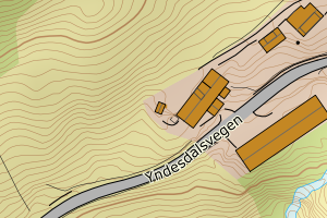
4635 Gulen | 74176728-7da7-4082-a996-235feb2b36bb | 300657130 | 0.15 | N: 6758603.90, Ø: 290561.60 | ![Kartbilde fra WMS-tjeneste av avviket](https://wms.geonorge.no/skwms1/wms.topo?VERSION=1.1.1&SERVICE=WMS&REQUEST=GetMap&LAYERS=topo&STYLES=&FORMAT=image/png&SRS=EPSG:25832&BBOX=290486.0,6758553,290636.0,6758653&WIDTH=300&HEIGHT=200) |
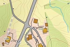
4635 Gulen | 081c721c-5024-479e-8d68-55001f677bb8 | 176747218 | 0.17 | N: 6768789.00, Ø: 293857.00 | ![Kartbilde fra WMS-tjeneste av avviket](https://wms.geonorge.no/skwms1/wms.topo?VERSION=1.1.1&SERVICE=WMS&REQUEST=GetMap&LAYERS=topo&STYLES=&FORMAT=image/png&SRS=EPSG:25832&BBOX=293781.0,6768738,293931.0,6768838&WIDTH=300&HEIGHT=200) |
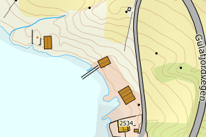
4635 Gulen | 2a37fcdd-fa92-48c3-a05b-f48c04607e14 | 176737433 | 0.19 | N: 6762215.00, Ø: 289615.00 | ![Kartbilde fra WMS-tjeneste av avviket](https://wms.geonorge.no/skwms1/wms.topo?VERSION=1.1.1&SERVICE=WMS&REQUEST=GetMap&LAYERS=topo&STYLES=&FORMAT=image/png&SRS=EPSG:25832&BBOX=289539.0,6762164,289689.0,6762264&WIDTH=300&HEIGHT=200) |
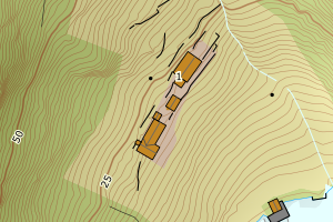
4635 Gulen | b9f52929-461c-457d-b5bb-c40ac3e1e38e | 176749555 | 0.19 | N: 6765599.00, Ø: 310732.00 | ![Kartbilde fra WMS-tjeneste av avviket](https://wms.geonorge.no/skwms1/wms.topo?VERSION=1.1.1&SERVICE=WMS&REQUEST=GetMap&LAYERS=topo&STYLES=&FORMAT=image/png&SRS=EPSG:25832&BBOX=310656.0,6765548,310806.0,6765648&WIDTH=300&HEIGHT=200) |
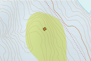
4635 Gulen | 4e7f8a59-1418-44bd-a6c2-b752eecc9250 | 20028068 | 0.20 | N: 6773587.00, Ø: 298040.00 | ![Kartbilde fra WMS-tjeneste av avviket](https://wms.geonorge.no/skwms1/wms.topo?VERSION=1.1.1&SERVICE=WMS&REQUEST=GetMap&LAYERS=topo&STYLES=&FORMAT=image/png&SRS=EPSG:25832&BBOX=297964.0,6773536,298114.0,6773636&WIDTH=300&HEIGHT=200) |
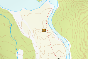
4635 Gulen | bcb4c729-11cd-434f-bba1-87d4f8bd9a93 | 20029889 | 0.27 | N: 6763793.00, Ø: 289843.00 | ![Kartbilde fra WMS-tjeneste av avviket](https://wms.geonorge.no/skwms1/wms.topo?VERSION=1.1.1&SERVICE=WMS&REQUEST=GetMap&LAYERS=topo&STYLES=&FORMAT=image/png&SRS=EPSG:25832&BBOX=289767.0,6763742,289917.0,6763842&WIDTH=300&HEIGHT=200) |
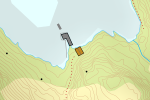
4635 Gulen | 052c4148-bf84-4f0c-a82c-2b7fc42b40cb | 176766883 | 0.28 | N: 6760999.00, Ø: 310301.00 | ![Kartbilde fra WMS-tjeneste av avviket](https://wms.geonorge.no/skwms1/wms.topo?VERSION=1.1.1&SERVICE=WMS&REQUEST=GetMap&LAYERS=topo&STYLES=&FORMAT=image/png&SRS=EPSG:25832&BBOX=310225.0,6760948,310375.0,6761048&WIDTH=300&HEIGHT=200) |
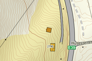
4635 Gulen | 82c10407-40f0-4a4a-bfaf-074324e7c62a | 20029625 | 0.37 | N: 6776295.90, Ø: 291983.70 | ![Kartbilde fra WMS-tjeneste av avviket](https://wms.geonorge.no/skwms1/wms.topo?VERSION=1.1.1&SERVICE=WMS&REQUEST=GetMap&LAYERS=topo&STYLES=&FORMAT=image/png&SRS=EPSG:25832&BBOX=291908.0,6776245,292058.0,6776345&WIDTH=300&HEIGHT=200) |
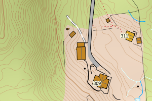
4635 Gulen | 439afc16-faf1-4117-a32f-8096bba3f466 | 176733543 | 0.41 | N: 6762256.00, Ø: 284098.00 | ![Kartbilde fra WMS-tjeneste av avviket](https://wms.geonorge.no/skwms1/wms.topo?VERSION=1.1.1&SERVICE=WMS&REQUEST=GetMap&LAYERS=topo&STYLES=&FORMAT=image/png&SRS=EPSG:25832&BBOX=284022.0,6762205,284172.0,6762305&WIDTH=300&HEIGHT=200) |
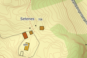
4635 Gulen | 63bd21db-fc6b-412a-b929-8d299bb77067 | 176774134 | 0.43 | N: 6756830.00, Ø: 289001.00 | ![Kartbilde fra WMS-tjeneste av avviket](https://wms.geonorge.no/skwms1/wms.topo?VERSION=1.1.1&SERVICE=WMS&REQUEST=GetMap&LAYERS=topo&STYLES=&FORMAT=image/png&SRS=EPSG:25832&BBOX=288925.0,6756779,289075.0,6756879&WIDTH=300&HEIGHT=200) |
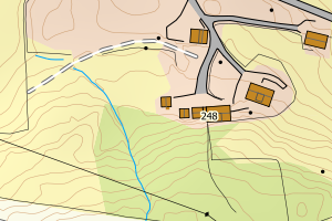
4635 Gulen | 3b0b21a1-04a5-4459-949b-fac9c971b7e7 | 176754303 | 0.44 | N: 6758622.00, Ø: 274160.00 | ![Kartbilde fra WMS-tjeneste av avviket](https://wms.geonorge.no/skwms1/wms.topo?VERSION=1.1.1&SERVICE=WMS&REQUEST=GetMap&LAYERS=topo&STYLES=&FORMAT=image/png&SRS=EPSG:25832&BBOX=274084.0,6758571,274234.0,6758671&WIDTH=300&HEIGHT=200) |
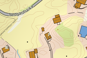
4635 Gulen | dd100226-05c5-4c8c-b05c-1d9d698971f3 | 176732008 | 0.47 | N: 6758228.00, Ø: 283613.00 | ![Kartbilde fra WMS-tjeneste av avviket](https://wms.geonorge.no/skwms1/wms.topo?VERSION=1.1.1&SERVICE=WMS&REQUEST=GetMap&LAYERS=topo&STYLES=&FORMAT=image/png&SRS=EPSG:25832&BBOX=283537.0,6758177,283687.0,6758277&WIDTH=300&HEIGHT=200) |
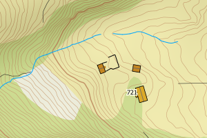
4635 Gulen | 6e6b47be-a8c0-4b02-9e03-029d4ea4c066 | 300657156 | 0.48 | N: 6757180.80, Ø: 289885.90 | ![Kartbilde fra WMS-tjeneste av avviket](https://wms.geonorge.no/skwms1/wms.topo?VERSION=1.1.1&SERVICE=WMS&REQUEST=GetMap&LAYERS=topo&STYLES=&FORMAT=image/png&SRS=EPSG:25832&BBOX=289810.0,6757130,289960.0,6757230&WIDTH=300&HEIGHT=200) |
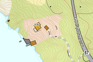
4635 Gulen | 64646a1b-c397-4310-83a9-b47242650282 | 176741864 | 0.52 | N: 6770211.00, Ø: 313658.00 | ![Kartbilde fra WMS-tjeneste av avviket](https://wms.geonorge.no/skwms1/wms.topo?VERSION=1.1.1&SERVICE=WMS&REQUEST=GetMap&LAYERS=topo&STYLES=&FORMAT=image/png&SRS=EPSG:25832&BBOX=313582.0,6770160,313732.0,6770260&WIDTH=300&HEIGHT=200) |
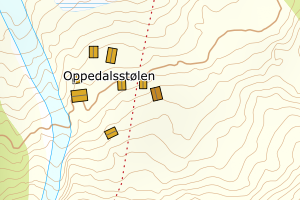
4635 Gulen | c20661ca-b83b-4049-a50e-114ada8b16d9 | 176730080 | 0.53 | N: 6762968.10, Ø: 281080.50 | ![Kartbilde fra WMS-tjeneste av avviket](https://wms.geonorge.no/skwms1/wms.topo?VERSION=1.1.1&SERVICE=WMS&REQUEST=GetMap&LAYERS=topo&STYLES=&FORMAT=image/png&SRS=EPSG:25832&BBOX=281005.0,6762918,281155.0,6763018&WIDTH=300&HEIGHT=200) |
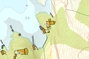
4635 Gulen | d65c06b0-a947-465a-a9e9-1db7ac11e62a | 20025905 | 0.59 | N: 6751970.00, Ø: 287075.00 | ![Kartbilde fra WMS-tjeneste av avviket](https://wms.geonorge.no/skwms1/wms.topo?VERSION=1.1.1&SERVICE=WMS&REQUEST=GetMap&LAYERS=topo&STYLES=&FORMAT=image/png&SRS=EPSG:25832&BBOX=286999.0,6751919,287149.0,6752019&WIDTH=300&HEIGHT=200) |
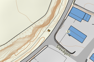
4635 Gulen | a26f7f3d-871c-48ee-ab27-16d7ce80dcd4 | 300044897 | 0.63 | N: 6777989.30, Ø: 293405.70 | ![Kartbilde fra WMS-tjeneste av avviket](https://wms.geonorge.no/skwms1/wms.topo?VERSION=1.1.1&SERVICE=WMS&REQUEST=GetMap&LAYERS=topo&STYLES=&FORMAT=image/png&SRS=EPSG:25832&BBOX=293330.0,6777939,293480.0,6778039&WIDTH=300&HEIGHT=200) |
4635 Gulen | 6a4578f1-833e-40ba-b561-232e74009ee9 | 176751584 | 0.74 | N: 6774495.00, Ø: 313948.00 | ![Kartbilde fra WMS-tjeneste av avviket](https://wms.geonorge.no/skwms1/wms.topo?VERSION=1.1.1&SERVICE=WMS&REQUEST=GetMap&LAYERS=topo&STYLES=&FORMAT=image/png&SRS=EPSG:25832&BBOX=313872.0,6774444,314022.0,6774544&WIDTH=300&HEIGHT=200) |
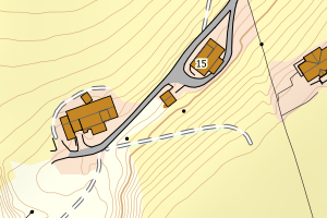
4635 Gulen | 672f42dd-25cd-4e2d-a3af-05687bf8924d | 300407299 | 0.89 | N: 6765416.30, Ø: 297810.20 | ![Kartbilde fra WMS-tjeneste av avviket](https://wms.geonorge.no/skwms1/wms.topo?VERSION=1.1.1&SERVICE=WMS&REQUEST=GetMap&LAYERS=topo&STYLES=&FORMAT=image/png&SRS=EPSG:25832&BBOX=297735.0,6765366,297885.0,6765466&WIDTH=300&HEIGHT=200) |