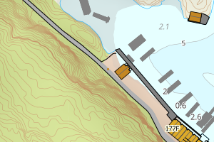
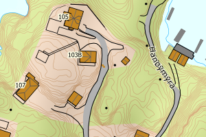
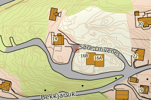
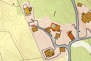
Avvikene skyldes feil plassering av bygningspunkt i matrikkelen eller feilregistrering av vegflate i FKB-Veg. Rettes i matrikkelen eller FKB-Veg
Kommune | LokalId | Bygningsnummer | Vegtype | Posisjon | WMS-bilde |
4625 Austevoll | 50c9ceb8-5bb7-45ca-99d0-0f0f0d17fc12 | 301185823 | VegKjørende | N: 6658569.80, Ø: 288082.70 | ![Kartbilde fra WMS-tjeneste av avviket](https://wms.geonorge.no/skwms1/wms.topo?VERSION=1.1.1&SERVICE=WMS&REQUEST=GetMap&LAYERS=topo&STYLES=&FORMAT=image/png&SRS=EPSG:25832&BBOX=288007.0,6658519,288157.0,6658619&WIDTH=300&HEIGHT=200) |
4625 Austevoll | c38abb56-b1e9-4292-a96c-110438492b76 | 175422846 | VegKjørende | N: 6656674.00, Ø: 281839.00 | ![Kartbilde fra WMS-tjeneste av avviket](https://wms.geonorge.no/skwms1/wms.topo?VERSION=1.1.1&SERVICE=WMS&REQUEST=GetMap&LAYERS=topo&STYLES=&FORMAT=image/png&SRS=EPSG:25832&BBOX=281763.0,6656623,281913.0,6656723&WIDTH=300&HEIGHT=200) |
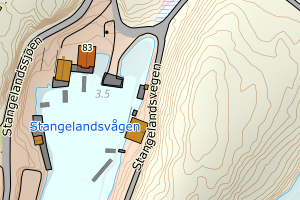
4625 Austevoll | 7403b61e-032e-4533-9e75-dc69e94403ef | 300234085 | VegKjørende | N: 6658508.60, Ø: 285099.20 | ![Kartbilde fra WMS-tjeneste av avviket](https://wms.geonorge.no/skwms1/wms.topo?VERSION=1.1.1&SERVICE=WMS&REQUEST=GetMap&LAYERS=topo&STYLES=&FORMAT=image/png&SRS=EPSG:25832&BBOX=285024.0,6658458,285174.0,6658558&WIDTH=300&HEIGHT=200) |
4625 Austevoll | e1701841-e640-4aae-aba1-128c75fbc98a | 19117340 | VegKjørende | N: 6665614.00, Ø: 292495.00 | ![Kartbilde fra WMS-tjeneste av avviket](https://wms.geonorge.no/skwms1/wms.topo?VERSION=1.1.1&SERVICE=WMS&REQUEST=GetMap&LAYERS=topo&STYLES=&FORMAT=image/png&SRS=EPSG:25832&BBOX=292419.0,6665563,292569.0,6665663&WIDTH=300&HEIGHT=200) |
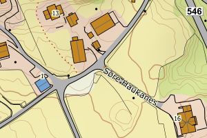
4625 Austevoll | 4794a67f-baa7-45d0-852b-cd3f4a7bf2e5 | 300430895 | VegKjørende | N: 6666537.40, Ø: 290163.00 | ![Kartbilde fra WMS-tjeneste av avviket](https://wms.geonorge.no/skwms1/wms.topo?VERSION=1.1.1&SERVICE=WMS&REQUEST=GetMap&LAYERS=topo&STYLES=&FORMAT=image/png&SRS=EPSG:25832&BBOX=290087.0,6666487,290237.0,6666587&WIDTH=300&HEIGHT=200) |
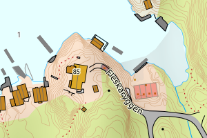
4625 Austevoll | 852b0de9-b70e-4724-a106-1e1fe4ecff40 | 25240960 | VegKjørende | N: 6670002.00, Ø: 290350.00 | ![Kartbilde fra WMS-tjeneste av avviket](https://wms.geonorge.no/skwms1/wms.topo?VERSION=1.1.1&SERVICE=WMS&REQUEST=GetMap&LAYERS=topo&STYLES=&FORMAT=image/png&SRS=EPSG:25832&BBOX=290274.0,6669951,290424.0,6670051&WIDTH=300&HEIGHT=200) |
4625 Austevoll | ebbcb9da-b2ab-4594-ac46-e7327090d6b3 | 175447946 | VegKjørende | N: 6668074.00, Ø: 289806.00 | ![Kartbilde fra WMS-tjeneste av avviket](https://wms.geonorge.no/skwms1/wms.topo?VERSION=1.1.1&SERVICE=WMS&REQUEST=GetMap&LAYERS=topo&STYLES=&FORMAT=image/png&SRS=EPSG:25832&BBOX=289730.0,6668023,289880.0,6668123&WIDTH=300&HEIGHT=200) |
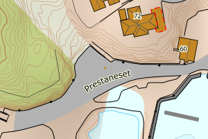
4625 Austevoll | 112c358d-75cd-49ab-9aaf-f966e417078f | 175451048 | VegKjørende | N: 6673510.00, Ø: 289460.00 | ![Kartbilde fra WMS-tjeneste av avviket](https://wms.geonorge.no/skwms1/wms.topo?VERSION=1.1.1&SERVICE=WMS&REQUEST=GetMap&LAYERS=topo&STYLES=&FORMAT=image/png&SRS=EPSG:25832&BBOX=289384.0,6673459,289534.0,6673559&WIDTH=300&HEIGHT=200) |
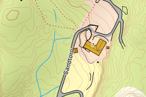
4625 Austevoll | 475d6ff0-58d6-42b1-9e83-3e07fc4e593a | 25240138 | VegKjørende | N: 6663256.00, Ø: 288545.00 | ![Kartbilde fra WMS-tjeneste av avviket](https://wms.geonorge.no/skwms1/wms.topo?VERSION=1.1.1&SERVICE=WMS&REQUEST=GetMap&LAYERS=topo&STYLES=&FORMAT=image/png&SRS=EPSG:25832&BBOX=288469.0,6663205,288619.0,6663305&WIDTH=300&HEIGHT=200) |
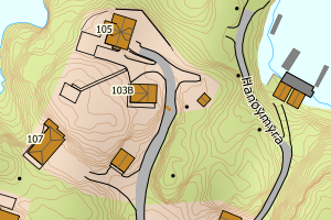
4625 Austevoll | e96a2ae8-41a0-496a-82f6-f5d23797383e | 25240111 | VegKjørende | N: 6663255.00, Ø: 288546.00 | ![Kartbilde fra WMS-tjeneste av avviket](https://wms.geonorge.no/skwms1/wms.topo?VERSION=1.1.1&SERVICE=WMS&REQUEST=GetMap&LAYERS=topo&STYLES=&FORMAT=image/png&SRS=EPSG:25832&BBOX=288470.0,6663204,288620.0,6663304&WIDTH=300&HEIGHT=200) |