Avvikene skyldes oftest manglende oppdatering av kartreg-egenskapen i FKB-Tiltak. Rettes vanligvis i FKB-Tiltak. Kan også være tilbygg som er kodet feil som nybygg i tiltaksbasen, men riktig i matrikkelen.
| Kommune | LokalId | Tiltak_Byggnr | Saksreferanse | Byggstatus | Tiltak_Avgjørelsesdato | Matrikkel_Bygningsstatus | Matrikkel_Vedtaksdato | Posisjon | WMS-bilde |
|---|
| 4617 Kvinnherad | cf8979ed-ff2f-4df8-bb27-3d59d167cb4f | None | 2022002864 | 183 | 2022-09-16 00:00:00 | FA | 2024-10-09 | N: 6624434.21, Ø: 314619.02 | 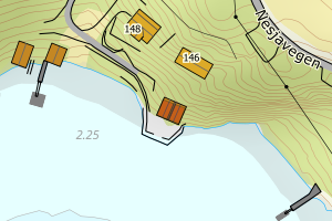 |
| 4617 Kvinnherad | ad900773-696b-4fb9-a5ee-d117aa491a8a | None | 2022002864 | 183 | 2022-05-24 00:00:00 | FA | 2024-10-09 | N: 6624432.25, Ø: 314623.97 | 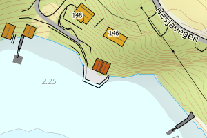 |
| 4617 Kvinnherad | ae41d518-0be9-40f5-aa68-195b85365bfb | 301101577 | 2022003675 | 181 | 2022-08-03 00:00:00 | MB | 2024-06-28 | N: 6646842.73, Ø: 320583.84 | 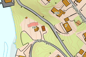 |
| 4617 Kvinnherad | d0d8967d-5472-459b-8598-36f9dcf6a341 | None | 2021002181 | 161 | 2021-09-06 00:00:00 | FA | 2023-10-03 | N: 6655600.05, Ø: 322291.66 | 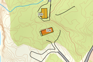 |
| 4617 Kvinnherad | 7ec9b901-48cd-43ce-98bf-9fc04edb9d2c | None | 2021000118 | 183 | 2021-02-01 00:00:00 | FA | 2023-08-23 | N: 6633244.87, Ø: 313931.31 | 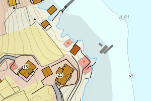 |
| 4617 Kvinnherad | 2c0fbf3d-b998-4ffc-9925-48d7110253f9 | None | 2022002147 | 121 | 2022-03-18 00:00:00 | FA | 2023-06-09 | N: 6656843.68, Ø: 321847.57 | 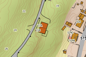 |
| 4617 Kvinnherad | 956e3435-c4b8-4a0a-9b65-9f251c51916f | None | 2020001990 | 161 | 2020-07-10 00:00:00 | FA | 2023-04-20 | N: 6624507.90, Ø: 312874.37 | 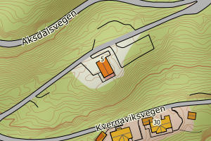 |
| 4617 Kvinnherad | 231bca77-8525-4fe6-a57a-da5928152ec9 | None | 2022000141 | 183 | 2022-03-04 00:00:00 | MB | 2023-01-23 | N: 6634721.18, Ø: 320886.35 | 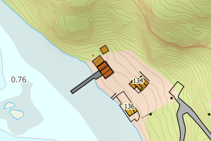 |
| 4617 Kvinnherad | e3555694-1055-4a7e-8d72-6e68aa2a2fd6 | None | 2019002480 | 111 | 2019-11-29 00:00:00 | FA | 2022-06-30 | N: 6632703.33, Ø: 327140.43 | 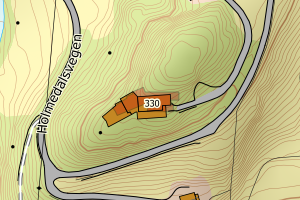 |
| 4617 Kvinnherad | 18f036a8-f51b-46d9-8cc6-593d5b03d473 | 300869545 | 2020003090 | 182 | 2021-02-01 00:00:00 | FA | 2021-04-27 | N: 6637116.68, Ø: 317051.68 | 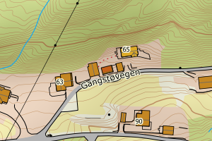 |
| 4617 Kvinnherad | 1dd1d2ea-23d7-4edb-8b26-7c23af28e10c | 300764996 | 2019001026 | 999 | 2019-06-27 00:00:00 | FA | 2021-03-04 | N: 6662193.89, Ø: 328574.08 | 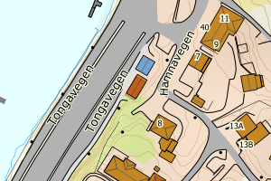 |
| 4617 Kvinnherad | 37d02867-6961-4479-bc7f-1ceceb5104d5 | 300732420 | 2017003898 | 183 | 2019-02-26 00:00:00 | FA | 2021-03-03 | N: 6637036.51, Ø: 319198.03 | 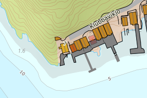 |
| 4617 Kvinnherad | b81c9ac0-4031-418e-9126-4bbbc86775d0 | 300728225 | 2018003734 | 241 | 2019-01-22 00:00:00 | MB | 2020-12-21 | N: 6651523.25, Ø: 333168.68 | 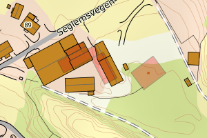 |
| 4617 Kvinnherad | 3ccb3ba5-a47c-494c-a2c1-3e24e027d743 | 300750586 | 2019000513 | 241 | 2019-06-25 00:00:00 | FA | 2020-10-06 | N: 6650410.17, Ø: 333909.50 |  |
| 4617 Kvinnherad | ec30088e-14dd-4625-8510-0a249d1d94b5 | 300764955 | 2019000623 | 999 | 2019-09-03 00:00:00 | FA | 2020-09-28 | N: 6632510.66, Ø: 329636.39 | 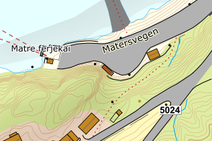 |
| 4617 Kvinnherad | b1276546-1291-4682-8957-b18fcffed7ad | 300769735 | 2019000635 | 999 | 2019-09-26 00:00:00 | FA | 2020-09-28 | N: 6626217.15, Ø: 316639.35 | 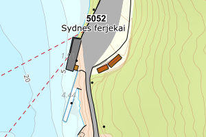 |
| 4617 Kvinnherad | 921c166e-516e-482f-a837-d7f730c0f393 | 300769740 | 2019000635 | 999 | 2019-09-26 00:00:00 | FA | 2020-09-28 | N: 6626222.27, Ø: 316647.33 | 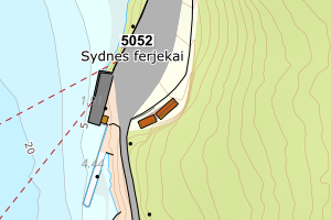 |
| 4617 Kvinnherad | e4f2567e-8c38-4f6d-b5df-f21d45b1201f | 300800921 | 2020000299 | 172 | 2020-04-21 00:00:00 | FA | 2020-09-04 | N: 6664147.67, Ø: 344050.62 | 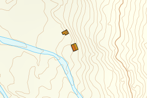 |
| 4617 Kvinnherad | b154d2c4-30fe-47d2-8c87-3da333e16984 | 300712825 | 2018002437 | 111 | 2018-10-23 00:00:00 | FA | 2020-03-27 | N: 6638092.26, Ø: 315953.72 | 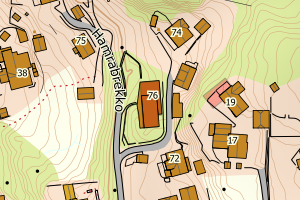 |
| 4617 Kvinnherad | 3608003f-7a66-4763-97f1-ec98b38bc675 | 300629531 | 2016004483 | 182 | 2017-06-27 00:00:00 | FA | 2020-02-25 | N: 6664519.93, Ø: 332621.91 | 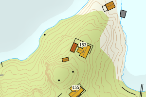 |
| 4617 Kvinnherad | c9db3329-f465-4bc8-83c5-b3427d91f742 | 300639784 | 2016000858 | 183 | 2017-08-23 00:00:00 | FA | 2020-02-12 | N: 6633488.52, Ø: 313948.55 | 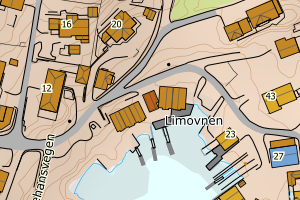 |
| 4617 Kvinnherad | 0a717675-7da2-4787-ba87-35e06c0a9db2 | 300710073 | 2016003475 | 216 | 2018-10-09 00:00:00 | FA | 2020-01-02 | N: 6639420.01, Ø: 332956.17 | 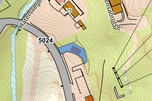 |
| 4617 Kvinnherad | 41065efc-2034-49d1-ae9e-bd3c5ac3ec4f | 300612808 | 2017000152 | 183 | 2017-03-02 00:00:00 | TB | 2019-12-27 | N: 6665353.67, Ø: 331718.96 | 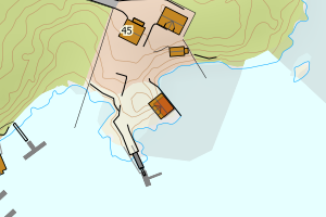 |
| 4617 Kvinnherad | af67eae7-0510-43f8-b10a-fd9bfe896b7f | 300676158 | 2018000138 | 181 | 2018-03-23 00:00:00 | TB | 2019-12-27 | N: 6666873.76, Ø: 333947.58 | 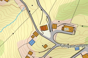 |
| 4617 Kvinnherad | d2314e12-1cb4-4512-b595-57c5a15cb1f3 | 300750702 | 2019001207 | 239 | 2019-06-21 00:00:00 | TB | 2019-12-27 | N: 6638648.48, Ø: 318808.79 | 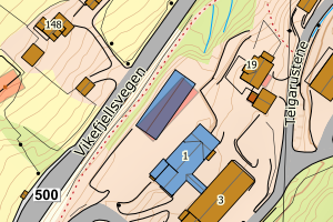 |
| 4617 Kvinnherad | 8a55f222-7265-494a-b136-39fc8059fc0b | 300749668 | 2018002497 | 182 | 2019-06-13 00:00:00 | TB | 2019-12-09 | N: 6633418.75, Ø: 313898.97 | 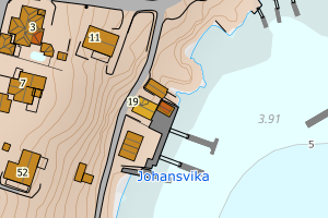 |
| 4617 Kvinnherad | b819c12a-0c04-4f51-bdcc-1b7b123cd2dc | 300740327 | 2019000732 | 231 | 2019-04-25 00:00:00 | TB | 2019-12-02 | N: 6662502.97, Ø: 328759.03 | 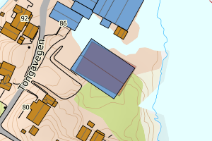 |
| 4617 Kvinnherad | 35b2b4a7-192d-48c6-9c18-95dc7ba822f0 | 300721987 | 2018003595 | 181 | 2018-12-19 00:00:00 | TB | 2019-11-12 | N: 6633063.53, Ø: 315150.93 | 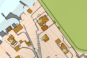 |
| 4617 Kvinnherad | 37b13bcc-972b-484a-91cd-d70fc9a3bc41 | 300679639 | 2018000831 | 181 | 2018-04-23 00:00:00 | TB | 2019-11-12 | N: 6633263.47, Ø: 315482.63 | 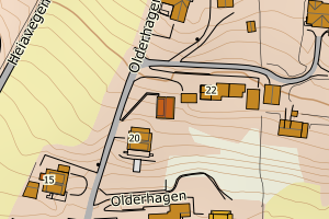 |
| 4617 Kvinnherad | 5ee760af-6fa9-4362-a93a-7bb770e68ac9 | 300397318 | 2013002424 | 181 | 2013-09-26 00:00:00 | TB | 2019-11-12 | N: 6633353.90, Ø: 315584.43 | 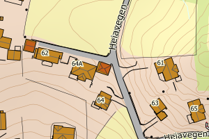 |
| 4617 Kvinnherad | f05f21f4-75d1-426d-b551-f195e88a8429 | 300681328 | 2018000471 | 111 | 2018-05-03 00:00:00 | TB | 2019-11-05 | N: 6654784.20, Ø: 324164.14 | 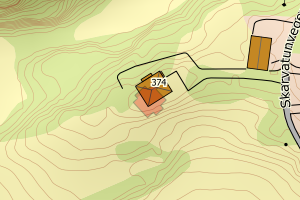 |
| 4617 Kvinnherad | 5b21ce16-0bc8-4db3-920c-a9e729d7acd2 | 300757975 | 2019001836 | 183 | 2019-07-18 00:00:00 | TB | 2019-11-05 | N: 6656789.91, Ø: 319121.80 | 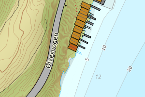 |
| 4617 Kvinnherad | 5a3ec0bb-a438-4a6c-b349-1cd68374679b | 300707127 | 2018002084 | 181 | 2018-09-19 00:00:00 | TB | 2019-11-01 | N: 6637589.92, Ø: 316033.91 | 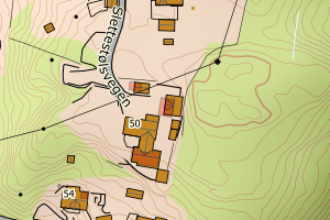 |
| 4617 Kvinnherad | d918b3e6-3b3b-47a5-a8af-803e00c8a640 | 300707129 | 2018002084 | 181 | 2018-10-19 00:00:00 | TB | 2019-11-01 | N: 6637599.51, Ø: 316019.78 | 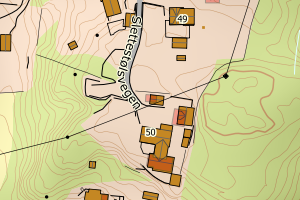 |
| 4617 Kvinnherad | 9fd8e257-828c-4e46-87ab-b4d00a3d0476 | 300551560 | 2016002638 | 181 | 2016-03-29 00:00:00 | TB | 2019-10-29 | N: 6632822.65, Ø: 327368.18 | 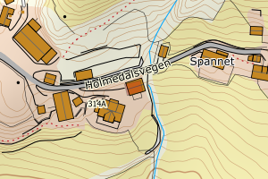 |
| 4617 Kvinnherad | b1682ab3-003d-459d-9e96-e0fcbd87f903 | 300678138 | 2018000230 | 181 | 2018-04-06 00:00:00 | TB | 2019-10-28 | N: 6637187.63, Ø: 318075.43 | 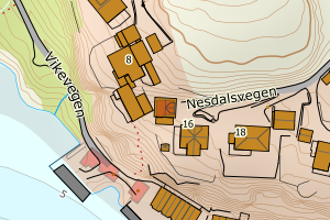 |
| 4617 Kvinnherad | 9606e86e-5b29-40a7-bfc7-663e15080f37 | 300706007 | 2018000846 | 161 | 2018-07-12 00:00:00 | FA | 2019-07-03 | N: 6638845.00, Ø: 336207.20 | 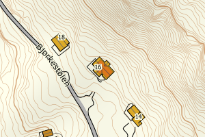 |
| 4617 Kvinnherad | af686877-d1b5-41cc-934a-6a19dbcd69d2 | 300452856 | 2014002000 | 329 | 2014-07-10 00:00:00 | FA | 2019-07-02 | N: 6667863.98, Ø: 347583.54 | 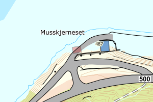 |
| 4617 Kvinnherad | 04f12913-cec5-4bb2-b023-9c8e10515981 | 300643829 | 2016004248 | 181 | 2017-09-14 00:00:00 | TB | 2018-11-27 | N: 6640014.92, Ø: 317493.81 | 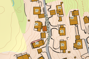 |
| 4617 Kvinnherad | 42ba6b00-e134-4a94-ad17-11ba7c95f2dc | None | 2013002682 | 212 | 2017-03-22 00:00:00 | TB | 2017-11-23 | N: 6634793.35, Ø: 312374.29 | 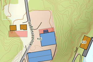 |
| 4617 Kvinnherad | 13436a7e-6603-44ad-b1fe-97fdc90d17cb | 300496497 | 2015000549 | 182 | 2015-04-15 00:00:00 | TB | 2017-11-23 | N: 6632867.24, Ø: 315113.29 | 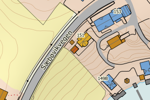 |
| 4617 Kvinnherad | e96aa11e-3868-45a8-b3e6-8d13a6e95e13 | None | 2016046100 | 113 | 2016-01-18 00:00:00 | FA | 2017-05-19 | N: 6666958.42, Ø: 341130.08 | 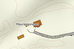 |
| 4617 Kvinnherad | 16df1fbd-c969-48c5-a666-f10d07667bda | 300084209 | 20093193 | 183 | 2009-10-06 00:00:00 | TB | 2015-06-17 | N: 6673335.30, Ø: 333274.81 | 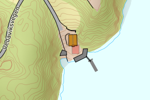 |
| 4617 Kvinnherad | f9ed71f4-859a-4f07-997f-1b2ce2364d49 | 300371655 | 2013000065 | 999 | 2013-03-21 00:00:00 | FA | 2015-03-11 | N: 6639977.30, Ø: 333057.90 | 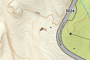 |
| 4617 Kvinnherad | 2327d73a-237c-4af2-b5f2-6867a0cefa2c | 300290473 | 2012726 | 999 | 2012-03-30 00:00:00 | FA | 2013-09-18 | N: 6645094.10, Ø: 333893.97 | 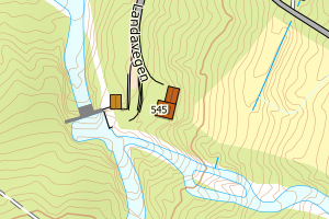 |
| 4617 Kvinnherad | 618f5868-9bc0-496c-8456-1e4315eda158 | None | 2012677 | 212 | 2012-03-20 00:00:00 | TB | 2006-08-30 | N: 6665978.51, Ø: 331985.65 | 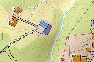 |
| 4617 Kvinnherad | 28250122-b928-464a-bee8-9de9cab6c666 | None | 20122071 | 111 | 2012-08-14 00:00:00 | TB | 1985-09-11 | N: 6637787.88, Ø: 316385.11 | 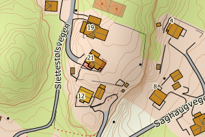 |
| 4617 Kvinnherad | 9919a4b3-6fd0-4580-b51a-de4e2dcc6857 | None | 2013001895 | 212 | 2013-08-16 00:00:00 | TB | 1984-10-25 | N: 6639056.54, Ø: 332900.40 | 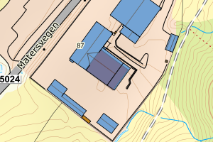 |
| 4617 Kvinnherad | c589b3d5-d2af-414a-9877-30b81f346120 | None | 19000000 | 161 | 2012-03-14 00:00:00 | TB | 1980-01-01 | N: 6624455.53, Ø: 315306.83 | 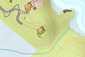 |
| 4617 Kvinnherad | ab68ad38-8cca-42e8-85be-54243b8ff2f2 | None | 2016052454 | 111 | 2016-12-06 00:00:00 | TB | 1976-01-01 | N: 6640169.72, Ø: 315694.30 | 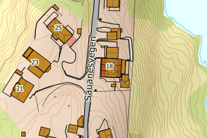 |
| 4617 Kvinnherad | d57eefe6-b0b0-40a8-a348-28809ddf15a3 | None | 2016003667 | 161 | 2016-10-18 00:00:00 | TB | 1975-01-01 | N: 6641424.27, Ø: 336838.54 | 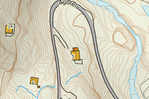 |
| 4617 Kvinnherad | 00305497-e269-400a-bf02-3c514e647b00 | None | 19000000 | 161 | 2012-12-10 00:00:00 | TB | 1970-01-01 | N: 6649223.84, Ø: 323892.99 | 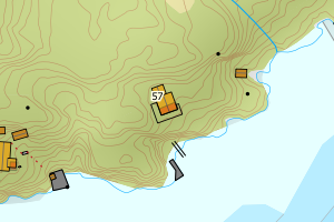 |
| 4617 Kvinnherad | 624c7b34-67a5-4829-ba6f-eeec66213139 | None | 2008939 | 161 | 2010-01-06 00:00:00 | TB | 1965-01-01 | N: 6655299.31, Ø: 321026.59 | 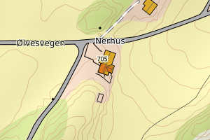 |
| 4617 Kvinnherad | 2bd67677-b511-4081-bb5d-0d21fa6703d7 | None | 19000000 | 161 | 2013-02-13 00:00:00 | TB | 1955-01-01 | N: 6632165.23, Ø: 313876.20 | 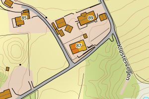 |
| 4617 Kvinnherad | fa8b747b-885d-40f3-9a60-8133f9454eef | None | 19000000 | 113 | 2012-04-03 00:00:00 | TB | 1950-01-01 | N: 6665530.91, Ø: 332870.94 | 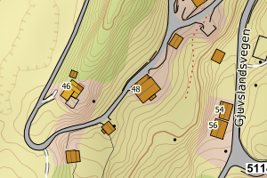 |
| 4617 Kvinnherad | 5db76d51-4641-49b9-81c8-4cb9f3202d9c | None | 2018000338 | 822 | 2018-05-03 00:00:00 | TB | Ingen vedtaksdato | N: 6657196.50, Ø: 322595.60 | 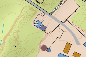 |
| 4617 Kvinnherad | 5d4aaaa9-4301-443b-8383-ce4b6c777777 | None | 2019001700 | 181 | 2019-07-03 00:00:00 | TB | Ingen vedtaksdato | N: 6632912.80, Ø: 321736.89 | 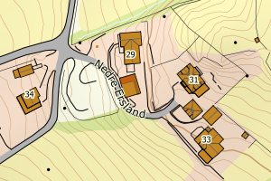 |
| 4617 Kvinnherad | fbe5a51c-bf1a-464b-a0ad-4311ad2a0889 | None | 2018000777 | 113 | 2018-03-23 00:00:00 | TB | Ingen vedtaksdato | N: 6627323.87, Ø: 315190.79 | 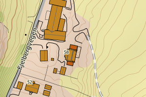 |