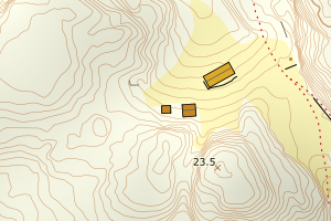
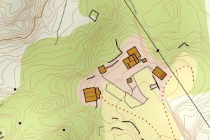
Avvikene skyldes vanligvis unøyaktig registrering av bygningspunkt i matrikkelen slik at det har havnet utenfor bygningsomriss. Rettes vanligvis i matrikkelen
Kommune | LokalId | Bygningsnummer | Avstand (m) | Posisjon | WMS-bilde |
4615 Fitjar | bc4d455a-5ce8-4304-bb85-af3159a41590 | 174190062 | 0.11 | N: 6643630.00, Ø: 294025.00 | ![Kartbilde fra WMS-tjeneste av avviket](https://wms.geonorge.no/skwms1/wms.topo?VERSION=1.1.1&SERVICE=WMS&REQUEST=GetMap&LAYERS=topo&STYLES=&FORMAT=image/png&SRS=EPSG:25832&BBOX=293949.0,6643579,294099.0,6643679&WIDTH=300&HEIGHT=200) |
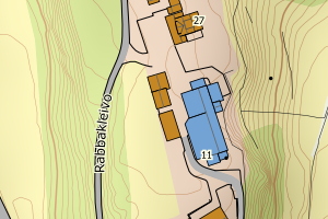
4615 Fitjar | a8ee86f5-415c-4321-8c5a-90007cb404b0 | 174207119 | 0.13 | N: 6654822.00, Ø: 294586.00 | ![Kartbilde fra WMS-tjeneste av avviket](https://wms.geonorge.no/skwms1/wms.topo?VERSION=1.1.1&SERVICE=WMS&REQUEST=GetMap&LAYERS=topo&STYLES=&FORMAT=image/png&SRS=EPSG:25832&BBOX=294510.0,6654771,294660.0,6654871&WIDTH=300&HEIGHT=200) |
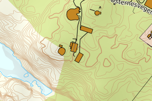
4615 Fitjar | 64c04424-1ca0-4fc5-b0e1-cc19304a9dab | 300808714 | 0.13 | N: 6649324.70, Ø: 293909.80 | ![Kartbilde fra WMS-tjeneste av avviket](https://wms.geonorge.no/skwms1/wms.topo?VERSION=1.1.1&SERVICE=WMS&REQUEST=GetMap&LAYERS=topo&STYLES=&FORMAT=image/png&SRS=EPSG:25832&BBOX=293834.0,6649274,293984.0,6649374&WIDTH=300&HEIGHT=200) |
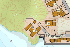
4615 Fitjar | 1d0087e0-bef7-47a6-98a8-99a9cd057089 | 174215324 | 0.17 | N: 6642180.00, Ø: 293916.00 | ![Kartbilde fra WMS-tjeneste av avviket](https://wms.geonorge.no/skwms1/wms.topo?VERSION=1.1.1&SERVICE=WMS&REQUEST=GetMap&LAYERS=topo&STYLES=&FORMAT=image/png&SRS=EPSG:25832&BBOX=293840.0,6642129,293990.0,6642229&WIDTH=300&HEIGHT=200) |
4615 Fitjar | 5a133f04-4017-4e07-a636-1cd248a1d9a5 | 174215804 | 0.23 | N: 6645196.00, Ø: 288835.00 | ![Kartbilde fra WMS-tjeneste av avviket](https://wms.geonorge.no/skwms1/wms.topo?VERSION=1.1.1&SERVICE=WMS&REQUEST=GetMap&LAYERS=topo&STYLES=&FORMAT=image/png&SRS=EPSG:25832&BBOX=288759.0,6645145,288909.0,6645245&WIDTH=300&HEIGHT=200) |
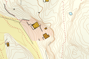
4615 Fitjar | 04a35414-f899-4f94-9e4d-9e8d25ab155a | 174214549 | 0.24 | N: 6648771.00, Ø: 294061.00 | ![Kartbilde fra WMS-tjeneste av avviket](https://wms.geonorge.no/skwms1/wms.topo?VERSION=1.1.1&SERVICE=WMS&REQUEST=GetMap&LAYERS=topo&STYLES=&FORMAT=image/png&SRS=EPSG:25832&BBOX=293985.0,6648720,294135.0,6648820&WIDTH=300&HEIGHT=200) |
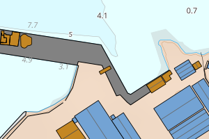
4615 Fitjar | 1df876c9-cfe4-4c49-9e73-fba251f91a0f | 174208077 | 0.27 | N: 6651522.00, Ø: 294876.00 | ![Kartbilde fra WMS-tjeneste av avviket](https://wms.geonorge.no/skwms1/wms.topo?VERSION=1.1.1&SERVICE=WMS&REQUEST=GetMap&LAYERS=topo&STYLES=&FORMAT=image/png&SRS=EPSG:25832&BBOX=294800.0,6651471,294950.0,6651571&WIDTH=300&HEIGHT=200) |
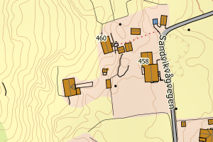
4615 Fitjar | 93417870-b4e1-48e8-980d-25056dab822b | 174208123 | 0.28 | N: 6651401.00, Ø: 294900.00 | ![Kartbilde fra WMS-tjeneste av avviket](https://wms.geonorge.no/skwms1/wms.topo?VERSION=1.1.1&SERVICE=WMS&REQUEST=GetMap&LAYERS=topo&STYLES=&FORMAT=image/png&SRS=EPSG:25832&BBOX=294824.0,6651350,294974.0,6651450&WIDTH=300&HEIGHT=200) |
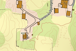
4615 Fitjar | a3942b84-d5b6-4511-b293-5a9b5150dab8 | 174199795 | 0.29 | N: 6647060.00, Ø: 292583.00 | ![Kartbilde fra WMS-tjeneste av avviket](https://wms.geonorge.no/skwms1/wms.topo?VERSION=1.1.1&SERVICE=WMS&REQUEST=GetMap&LAYERS=topo&STYLES=&FORMAT=image/png&SRS=EPSG:25832&BBOX=292507.0,6647009,292657.0,6647109&WIDTH=300&HEIGHT=200) |
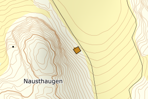
4615 Fitjar | 635e979b-a781-4bc7-922f-061b93f8e27d | 174213569 | 0.29 | N: 6649562.00, Ø: 288553.00 | ![Kartbilde fra WMS-tjeneste av avviket](https://wms.geonorge.no/skwms1/wms.topo?VERSION=1.1.1&SERVICE=WMS&REQUEST=GetMap&LAYERS=topo&STYLES=&FORMAT=image/png&SRS=EPSG:25832&BBOX=288477.0,6649511,288627.0,6649611&WIDTH=300&HEIGHT=200) |
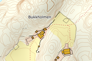
4615 Fitjar | e0165837-8967-40ce-a84d-f45d24f2f1e1 | 174213461 | 0.34 | N: 6647958.00, Ø: 283683.00 | ![Kartbilde fra WMS-tjeneste av avviket](https://wms.geonorge.no/skwms1/wms.topo?VERSION=1.1.1&SERVICE=WMS&REQUEST=GetMap&LAYERS=topo&STYLES=&FORMAT=image/png&SRS=EPSG:25832&BBOX=283607.0,6647907,283757.0,6648007&WIDTH=300&HEIGHT=200) |
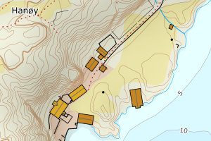
4615 Fitjar | 68d072cc-aa1c-42bb-b9a4-2fcea10e669a | 174195102 | 0.37 | N: 6648380.00, Ø: 290575.00 | ![Kartbilde fra WMS-tjeneste av avviket](https://wms.geonorge.no/skwms1/wms.topo?VERSION=1.1.1&SERVICE=WMS&REQUEST=GetMap&LAYERS=topo&STYLES=&FORMAT=image/png&SRS=EPSG:25832&BBOX=290499.0,6648329,290649.0,6648429&WIDTH=300&HEIGHT=200) |
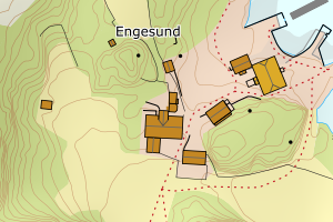
4615 Fitjar | 6881d5ea-511d-4b73-9220-5279221aa951 | 174190704 | 0.37 | N: 6641642.00, Ø: 291329.00 | ![Kartbilde fra WMS-tjeneste av avviket](https://wms.geonorge.no/skwms1/wms.topo?VERSION=1.1.1&SERVICE=WMS&REQUEST=GetMap&LAYERS=topo&STYLES=&FORMAT=image/png&SRS=EPSG:25832&BBOX=291253.0,6641591,291403.0,6641691&WIDTH=300&HEIGHT=200) |
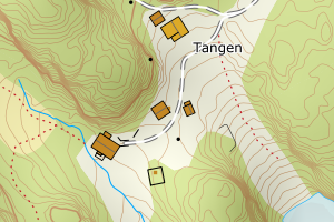
4615 Fitjar | 9944b431-f145-4cf2-8ece-dc3e12cd01a8 | 174203938 | 0.42 | N: 6646286.00, Ø: 294631.00 | ![Kartbilde fra WMS-tjeneste av avviket](https://wms.geonorge.no/skwms1/wms.topo?VERSION=1.1.1&SERVICE=WMS&REQUEST=GetMap&LAYERS=topo&STYLES=&FORMAT=image/png&SRS=EPSG:25832&BBOX=294555.0,6646235,294705.0,6646335&WIDTH=300&HEIGHT=200) |
4615 Fitjar | ade7ffa4-0109-4114-958e-14bf68257af1 | 174193533 | 0.46 | N: 6642172.86, Ø: 294444.15 | ![Kartbilde fra WMS-tjeneste av avviket](https://wms.geonorge.no/skwms1/wms.topo?VERSION=1.1.1&SERVICE=WMS&REQUEST=GetMap&LAYERS=topo&STYLES=&FORMAT=image/png&SRS=EPSG:25832&BBOX=294369.0,6642122,294519.0,6642222&WIDTH=300&HEIGHT=200) |
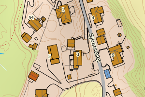
4615 Fitjar | a029349b-3625-49db-86df-53905174c6d4 | 174216002 | 0.47 | N: 6640530.00, Ø: 297627.00 | ![Kartbilde fra WMS-tjeneste av avviket](https://wms.geonorge.no/skwms1/wms.topo?VERSION=1.1.1&SERVICE=WMS&REQUEST=GetMap&LAYERS=topo&STYLES=&FORMAT=image/png&SRS=EPSG:25832&BBOX=297551.0,6640479,297701.0,6640579&WIDTH=300&HEIGHT=200) |
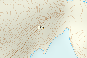
4615 Fitjar | 0e69274b-6c4c-4fb5-967c-393b89e9047e | 14672117 | 0.55 | N: 6650548.00, Ø: 292484.00 | ![Kartbilde fra WMS-tjeneste av avviket](https://wms.geonorge.no/skwms1/wms.topo?VERSION=1.1.1&SERVICE=WMS&REQUEST=GetMap&LAYERS=topo&STYLES=&FORMAT=image/png&SRS=EPSG:25832&BBOX=292408.0,6650497,292558.0,6650597&WIDTH=300&HEIGHT=200) |
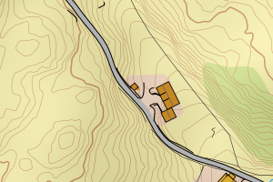
4615 Fitjar | dfcdea5b-44a6-413b-ab70-4fd2f03d6aea | 21859583 | 0.61 | N: 6647966.00, Ø: 283682.00 | ![Kartbilde fra WMS-tjeneste av avviket](https://wms.geonorge.no/skwms1/wms.topo?VERSION=1.1.1&SERVICE=WMS&REQUEST=GetMap&LAYERS=topo&STYLES=&FORMAT=image/png&SRS=EPSG:25832&BBOX=283606.0,6647915,283756.0,6648015&WIDTH=300&HEIGHT=200) |
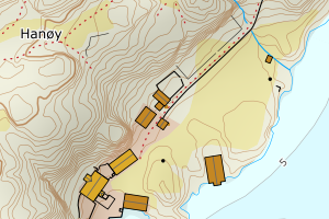
4615 Fitjar | de0466c4-5f1b-40de-96ed-ebc27225d1fb | 9650458 | 0.64 | N: 6638080.00, Ø: 293701.00 | ![Kartbilde fra WMS-tjeneste av avviket](https://wms.geonorge.no/skwms1/wms.topo?VERSION=1.1.1&SERVICE=WMS&REQUEST=GetMap&LAYERS=topo&STYLES=&FORMAT=image/png&SRS=EPSG:25832&BBOX=293625.0,6638029,293775.0,6638129&WIDTH=300&HEIGHT=200) |
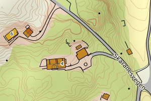
4615 Fitjar | 1ba90f46-aa1b-4601-aba9-d3cb9a824611 | 174212600 | 0.67 | N: 6646049.00, Ø: 288319.00 | ![Kartbilde fra WMS-tjeneste av avviket](https://wms.geonorge.no/skwms1/wms.topo?VERSION=1.1.1&SERVICE=WMS&REQUEST=GetMap&LAYERS=topo&STYLES=&FORMAT=image/png&SRS=EPSG:25832&BBOX=288243.0,6645998,288393.0,6646098&WIDTH=300&HEIGHT=200) |
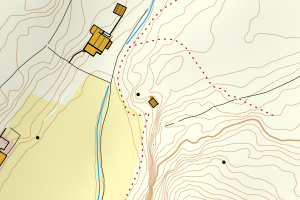
4615 Fitjar | 000086e6-84b2-4b1b-bdd0-4e3501afbae9 | 174183090 | 0.75 | N: 6645585.00, Ø: 285574.00 | ![Kartbilde fra WMS-tjeneste av avviket](https://wms.geonorge.no/skwms1/wms.topo?VERSION=1.1.1&SERVICE=WMS&REQUEST=GetMap&LAYERS=topo&STYLES=&FORMAT=image/png&SRS=EPSG:25832&BBOX=285498.0,6645534,285648.0,6645634&WIDTH=300&HEIGHT=200) |