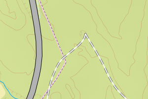
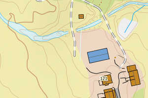
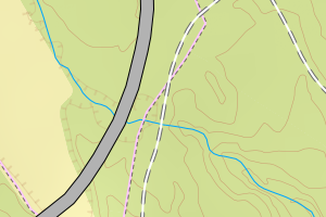
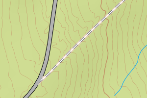
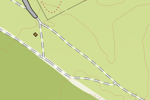
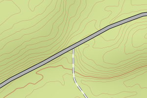
Avviket skyldes enten feilregistrering i FKB-TraktorvegSti eller ev. i vegnettet (NVDB)
Kommune | LokalId | Typeveg | Posisjon | WMS-bilde |
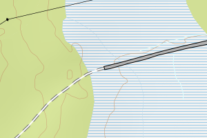
3422 Åmot | ec773ce9-7403-4571-ab62-4bd5255749b5 | traktorveg | N: 6770990.98, Ø: 625266.67 | ![Kartbilde fra WMS-tjeneste av avviket](https://wms.geonorge.no/skwms1/wms.topo?VERSION=1.1.1&SERVICE=WMS&REQUEST=GetMap&LAYERS=topo&STYLES=&FORMAT=image/png&SRS=EPSG:25832&BBOX=625191.0,6770940,625341.0,6771040&WIDTH=300&HEIGHT=200) |
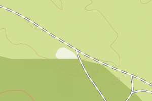
3422 Åmot | e59c4bf1-5554-43d7-8c40-fb621ac36b91 | traktorveg | N: 6800083.43, Ø: 644505.85 | ![Kartbilde fra WMS-tjeneste av avviket](https://wms.geonorge.no/skwms1/wms.topo?VERSION=1.1.1&SERVICE=WMS&REQUEST=GetMap&LAYERS=topo&STYLES=&FORMAT=image/png&SRS=EPSG:25832&BBOX=644430.0,6800033,644580.0,6800133&WIDTH=300&HEIGHT=200) |
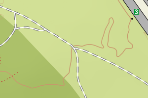
3422 Åmot | 431af19e-1691-4229-a703-686598095d0a | traktorveg | N: 6783395.80, Ø: 626187.31 | ![Kartbilde fra WMS-tjeneste av avviket](https://wms.geonorge.no/skwms1/wms.topo?VERSION=1.1.1&SERVICE=WMS&REQUEST=GetMap&LAYERS=topo&STYLES=&FORMAT=image/png&SRS=EPSG:25832&BBOX=626112.0,6783345,626262.0,6783445&WIDTH=300&HEIGHT=200) |
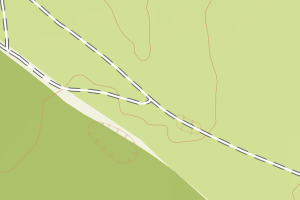
3422 Åmot | 4a6a62cf-b5bc-45f1-a607-5083a55ed6d9 | traktorveg | N: 6783333.40, Ø: 626302.12 | ![Kartbilde fra WMS-tjeneste av avviket](https://wms.geonorge.no/skwms1/wms.topo?VERSION=1.1.1&SERVICE=WMS&REQUEST=GetMap&LAYERS=topo&STYLES=&FORMAT=image/png&SRS=EPSG:25832&BBOX=626227.0,6783283,626377.0,6783383&WIDTH=300&HEIGHT=200) |
3422 Åmot | 75d9c84d-c719-4b43-8690-cdf390db4769 | traktorveg | N: 6783479.08, Ø: 626029.67 | ![Kartbilde fra WMS-tjeneste av avviket](https://wms.geonorge.no/skwms1/wms.topo?VERSION=1.1.1&SERVICE=WMS&REQUEST=GetMap&LAYERS=topo&STYLES=&FORMAT=image/png&SRS=EPSG:25832&BBOX=625954.0,6783429,626104.0,6783529&WIDTH=300&HEIGHT=200) |
3422 Åmot | a36fbdf7-959b-4bab-af1f-ad33af2fc4d6 | traktorveg | N: 6783512.73, Ø: 625989.95 | ![Kartbilde fra WMS-tjeneste av avviket](https://wms.geonorge.no/skwms1/wms.topo?VERSION=1.1.1&SERVICE=WMS&REQUEST=GetMap&LAYERS=topo&STYLES=&FORMAT=image/png&SRS=EPSG:25832&BBOX=625914.0,6783462,626064.0,6783562&WIDTH=300&HEIGHT=200) |
3422 Åmot | c3cde705-7bce-41be-b122-39263cfaefdd | traktorveg | N: 6791007.41, Ø: 633548.44 | ![Kartbilde fra WMS-tjeneste av avviket](https://wms.geonorge.no/skwms1/wms.topo?VERSION=1.1.1&SERVICE=WMS&REQUEST=GetMap&LAYERS=topo&STYLES=&FORMAT=image/png&SRS=EPSG:25832&BBOX=633473.0,6790957,633623.0,6791057&WIDTH=300&HEIGHT=200) |
3422 Åmot | 737f5288-7410-4e54-812d-92cda0970875 | traktorveg | N: 6780840.18, Ø: 623682.98 | ![Kartbilde fra WMS-tjeneste av avviket](https://wms.geonorge.no/skwms1/wms.topo?VERSION=1.1.1&SERVICE=WMS&REQUEST=GetMap&LAYERS=topo&STYLES=&FORMAT=image/png&SRS=EPSG:25832&BBOX=623607.0,6780790,623757.0,6780890&WIDTH=300&HEIGHT=200) |
3422 Åmot | a0224b11-f258-4586-958c-d29be2db908c | traktorveg | N: 6790955.13, Ø: 633520.72 | ![Kartbilde fra WMS-tjeneste av avviket](https://wms.geonorge.no/skwms1/wms.topo?VERSION=1.1.1&SERVICE=WMS&REQUEST=GetMap&LAYERS=topo&STYLES=&FORMAT=image/png&SRS=EPSG:25832&BBOX=633445.0,6790905,633595.0,6791005&WIDTH=300&HEIGHT=200) |
3422 Åmot | 3f3ce2b1-aa9e-461b-8e2d-0d70a150d710 | traktorveg | N: 6800583.80, Ø: 635827.28 | ![Kartbilde fra WMS-tjeneste av avviket](https://wms.geonorge.no/skwms1/wms.topo?VERSION=1.1.1&SERVICE=WMS&REQUEST=GetMap&LAYERS=topo&STYLES=&FORMAT=image/png&SRS=EPSG:25832&BBOX=635752.0,6800533,635902.0,6800633&WIDTH=300&HEIGHT=200) |
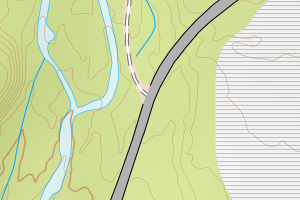
3422 Åmot | 435204ee-70ce-4668-96de-fb78d7ad106c | traktorveg | N: 6791720.00, Ø: 630714.86 | ![Kartbilde fra WMS-tjeneste av avviket](https://wms.geonorge.no/skwms1/wms.topo?VERSION=1.1.1&SERVICE=WMS&REQUEST=GetMap&LAYERS=topo&STYLES=&FORMAT=image/png&SRS=EPSG:25832&BBOX=630639.0,6791669,630789.0,6791769&WIDTH=300&HEIGHT=200) |
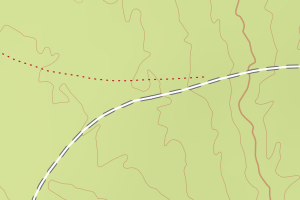
3422 Åmot | 6ebb7eb9-7f85-4c6a-a66a-c5e80bb85761 | traktorveg | N: 6794174.12, Ø: 639560.78 | ![Kartbilde fra WMS-tjeneste av avviket](https://wms.geonorge.no/skwms1/wms.topo?VERSION=1.1.1&SERVICE=WMS&REQUEST=GetMap&LAYERS=topo&STYLES=&FORMAT=image/png&SRS=EPSG:25832&BBOX=639485.0,6794124,639635.0,6794224&WIDTH=300&HEIGHT=200) |
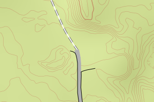
3422 Åmot | 81a480a1-d85b-4654-8601-c6bfab7be3da | traktorveg | N: 6800404.73, Ø: 635611.49 | ![Kartbilde fra WMS-tjeneste av avviket](https://wms.geonorge.no/skwms1/wms.topo?VERSION=1.1.1&SERVICE=WMS&REQUEST=GetMap&LAYERS=topo&STYLES=&FORMAT=image/png&SRS=EPSG:25832&BBOX=635536.0,6800354,635686.0,6800454&WIDTH=300&HEIGHT=200) |
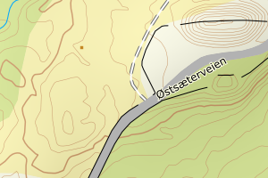
3422 Åmot | a4b7bb42-cedf-4e64-a5b6-70cf92650eff | traktorveg | N: 6803771.51, Ø: 644181.42 | ![Kartbilde fra WMS-tjeneste av avviket](https://wms.geonorge.no/skwms1/wms.topo?VERSION=1.1.1&SERVICE=WMS&REQUEST=GetMap&LAYERS=topo&STYLES=&FORMAT=image/png&SRS=EPSG:25832&BBOX=644106.0,6803721,644256.0,6803821&WIDTH=300&HEIGHT=200) |
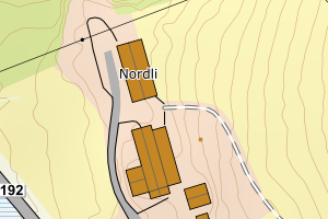
3422 Åmot | c1248f12-52f6-4646-a40f-404af542b552 | traktorveg | N: 6775039.32, Ø: 624283.02 | ![Kartbilde fra WMS-tjeneste av avviket](https://wms.geonorge.no/skwms1/wms.topo?VERSION=1.1.1&SERVICE=WMS&REQUEST=GetMap&LAYERS=topo&STYLES=&FORMAT=image/png&SRS=EPSG:25832&BBOX=624208.0,6774989,624358.0,6775089&WIDTH=300&HEIGHT=200) |