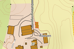
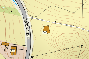
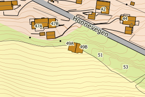
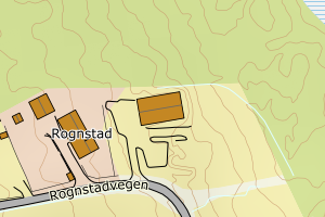
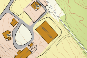
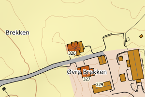
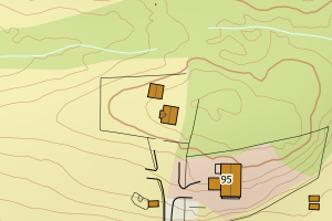
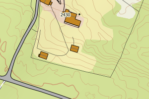
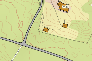
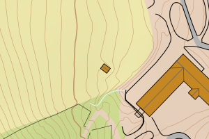
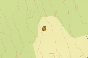
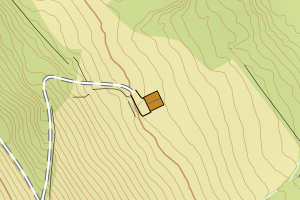
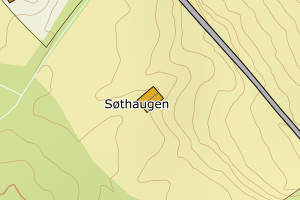
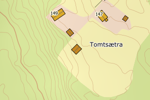
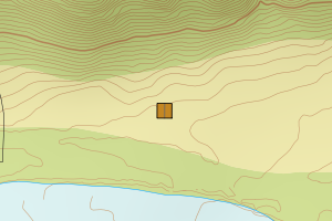
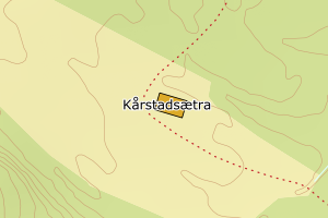
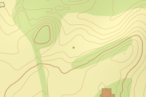
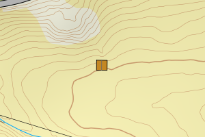
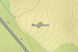
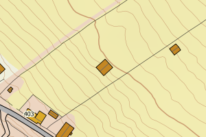
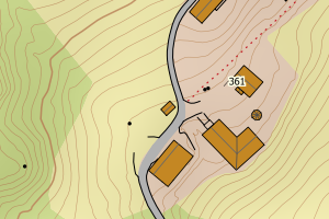
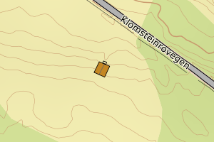
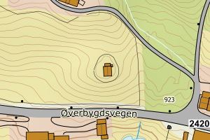
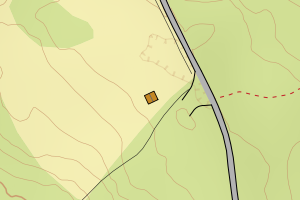
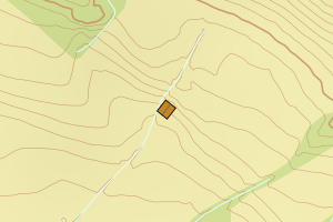
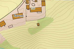
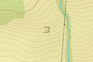
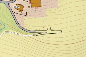
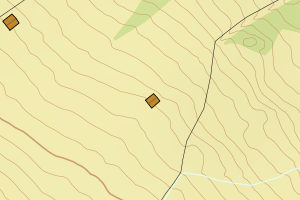
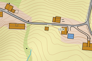
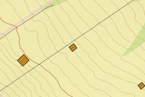
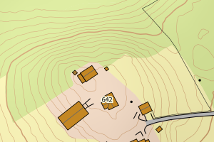
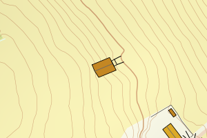
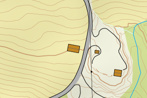
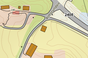
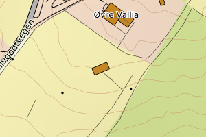
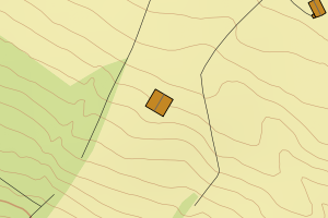
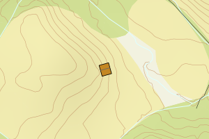
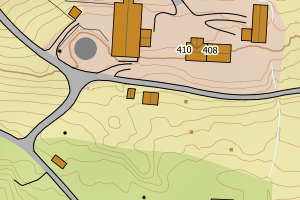
Avvikene kan skyldes enten feil bygningskoordinat eller bygningstype/status i matrikkel eller feil arealtype i AR5. Vær oppmerksom på det er krav om arealer på over 200 m2 før det er krav om endring av arealtype i AR5 så avvikene vil ikke alltid kreve retting i datagrunnlaget
Kommune | LokalId | Bygningsnummer | Arealtype | Bygningstatus | Bygningstype | matrikkel_vedtaksdato | Posisjon | WMS-bilde |
3407 Gjøvik | 1999bc37-d42f-4a5d-8c65-604632d92220 | 155709898 | 21 | TB | 249 | None | N: 6751887.00, Ø: 588473.00 | ![Kartbilde fra WMS-tjeneste av avviket](https://wms.geonorge.no/skwms1/wms.topo?VERSION=1.1.1&SERVICE=WMS&REQUEST=GetMap&LAYERS=topo&STYLES=&FORMAT=image/png&SRS=EPSG:25832&BBOX=588397.0,6751836,588547.0,6751936&WIDTH=300&HEIGHT=200) |
3407 Gjøvik | 900a1bca-982e-4d48-a4f8-f5c16b6a6446 | 155535202 | 21 | TB | 171 | None | N: 6761457.00, Ø: 571710.00 | ![Kartbilde fra WMS-tjeneste av avviket](https://wms.geonorge.no/skwms1/wms.topo?VERSION=1.1.1&SERVICE=WMS&REQUEST=GetMap&LAYERS=topo&STYLES=&FORMAT=image/png&SRS=EPSG:25832&BBOX=571634.0,6761406,571784.0,6761506&WIDTH=300&HEIGHT=200) |
3407 Gjøvik | ac00d1dc-c37b-4ac7-a594-c5fd56b6c715 | 155534931 | 21 | TB | 182 | None | N: 6761162.00, Ø: 569588.00 | ![Kartbilde fra WMS-tjeneste av avviket](https://wms.geonorge.no/skwms1/wms.topo?VERSION=1.1.1&SERVICE=WMS&REQUEST=GetMap&LAYERS=topo&STYLES=&FORMAT=image/png&SRS=EPSG:25832&BBOX=569512.0,6761111,569662.0,6761211&WIDTH=300&HEIGHT=200) |
3407 Gjøvik | 12ee46e5-8c3c-47b9-b417-99bd706c07b7 | 155534524 | 21 | TB | 249 | None | N: 6764348.00, Ø: 571411.00 | ![Kartbilde fra WMS-tjeneste av avviket](https://wms.geonorge.no/skwms1/wms.topo?VERSION=1.1.1&SERVICE=WMS&REQUEST=GetMap&LAYERS=topo&STYLES=&FORMAT=image/png&SRS=EPSG:25832&BBOX=571335.0,6764297,571485.0,6764397&WIDTH=300&HEIGHT=200) |
3407 Gjøvik | 988159e4-57c4-4b52-bd7e-5ec4220af733 | 140169676 | 21 | TB | 249 | None | N: 6759920.00, Ø: 578420.00 | ![Kartbilde fra WMS-tjeneste av avviket](https://wms.geonorge.no/skwms1/wms.topo?VERSION=1.1.1&SERVICE=WMS&REQUEST=GetMap&LAYERS=topo&STYLES=&FORMAT=image/png&SRS=EPSG:25832&BBOX=578344.0,6759869,578494.0,6759969&WIDTH=300&HEIGHT=200) |
3407 Gjøvik | 967f0089-66bc-41b0-a745-fe3876f3d7a9 | 155534087 | 21 | TB | 249 | None | N: 6757641.00, Ø: 571901.00 | ![Kartbilde fra WMS-tjeneste av avviket](https://wms.geonorge.no/skwms1/wms.topo?VERSION=1.1.1&SERVICE=WMS&REQUEST=GetMap&LAYERS=topo&STYLES=&FORMAT=image/png&SRS=EPSG:25832&BBOX=571825.0,6757590,571975.0,6757690&WIDTH=300&HEIGHT=200) |
3407 Gjøvik | 71beb687-1717-4140-9cf4-8b545972507c | 300638857 | 21 | TB | 249 | None | N: 6743745.80, Ø: 583850.77 | ![Kartbilde fra WMS-tjeneste av avviket](https://wms.geonorge.no/skwms1/wms.topo?VERSION=1.1.1&SERVICE=WMS&REQUEST=GetMap&LAYERS=topo&STYLES=&FORMAT=image/png&SRS=EPSG:25832&BBOX=583775.0,6743695,583925.0,6743795&WIDTH=300&HEIGHT=200) |
3407 Gjøvik | c68c8ddb-fa30-4fdc-ba18-1ab4bb823024 | 155583975 | 21 | TB | 249 | None | N: 6756471.00, Ø: 586005.00 | ![Kartbilde fra WMS-tjeneste av avviket](https://wms.geonorge.no/skwms1/wms.topo?VERSION=1.1.1&SERVICE=WMS&REQUEST=GetMap&LAYERS=topo&STYLES=&FORMAT=image/png&SRS=EPSG:25832&BBOX=585929.0,6756420,586079.0,6756520&WIDTH=300&HEIGHT=200) |
3407 Gjøvik | 6095b1c2-b5b2-4d88-bc79-365c681bbded | 155535172 | 21 | TB | 171 | None | N: 6761151.00, Ø: 573425.00 | ![Kartbilde fra WMS-tjeneste av avviket](https://wms.geonorge.no/skwms1/wms.topo?VERSION=1.1.1&SERVICE=WMS&REQUEST=GetMap&LAYERS=topo&STYLES=&FORMAT=image/png&SRS=EPSG:25832&BBOX=573349.0,6761100,573499.0,6761200&WIDTH=300&HEIGHT=200) |
3407 Gjøvik | cd8d4616-107e-4492-b6ea-cf7cbe09f57a | 140166928 | 21 | TB | 241 | None | N: 6757024.00, Ø: 583984.00 | ![Kartbilde fra WMS-tjeneste av avviket](https://wms.geonorge.no/skwms1/wms.topo?VERSION=1.1.1&SERVICE=WMS&REQUEST=GetMap&LAYERS=topo&STYLES=&FORMAT=image/png&SRS=EPSG:25832&BBOX=583908.0,6756973,584058.0,6757073&WIDTH=300&HEIGHT=200) |
3407 Gjøvik | 057faca5-c0a5-48da-aa41-d774d4dc5786 | 155549378 | 21 | TB | 249 | None | N: 6764329.00, Ø: 574482.00 | ![Kartbilde fra WMS-tjeneste av avviket](https://wms.geonorge.no/skwms1/wms.topo?VERSION=1.1.1&SERVICE=WMS&REQUEST=GetMap&LAYERS=topo&STYLES=&FORMAT=image/png&SRS=EPSG:25832&BBOX=574406.0,6764278,574556.0,6764378&WIDTH=300&HEIGHT=200) |
3407 Gjøvik | 2277b552-0603-4560-92a1-5848014c7f8c | 155547286 | 21 | TB | 249 | None | N: 6760598.00, Ø: 576857.00 | ![Kartbilde fra WMS-tjeneste av avviket](https://wms.geonorge.no/skwms1/wms.topo?VERSION=1.1.1&SERVICE=WMS&REQUEST=GetMap&LAYERS=topo&STYLES=&FORMAT=image/png&SRS=EPSG:25832&BBOX=576781.0,6760547,576931.0,6760647&WIDTH=300&HEIGHT=200) |
3407 Gjøvik | 1a52ace8-df14-42bc-a1a6-2aef1106ecf1 | 155554223 | 21 | TB | 249 | None | N: 6760739.00, Ø: 578746.00 | ![Kartbilde fra WMS-tjeneste av avviket](https://wms.geonorge.no/skwms1/wms.topo?VERSION=1.1.1&SERVICE=WMS&REQUEST=GetMap&LAYERS=topo&STYLES=&FORMAT=image/png&SRS=EPSG:25832&BBOX=578670.0,6760688,578820.0,6760788&WIDTH=300&HEIGHT=200) |
3407 Gjøvik | 8c96d21b-ccd8-473a-bb17-d949265d0fd2 | 155728655 | 21 | TB | 181 | None | N: 6757780.00, Ø: 566509.00 | ![Kartbilde fra WMS-tjeneste av avviket](https://wms.geonorge.no/skwms1/wms.topo?VERSION=1.1.1&SERVICE=WMS&REQUEST=GetMap&LAYERS=topo&STYLES=&FORMAT=image/png&SRS=EPSG:25832&BBOX=566433.0,6757729,566583.0,6757829&WIDTH=300&HEIGHT=200) |
3407 Gjøvik | 722aef7f-ee88-4652-9788-e65091e3641e | 300641388 | 21 | TB | 249 | None | N: 6751681.54, Ø: 586456.54 | ![Kartbilde fra WMS-tjeneste av avviket](https://wms.geonorge.no/skwms1/wms.topo?VERSION=1.1.1&SERVICE=WMS&REQUEST=GetMap&LAYERS=topo&STYLES=&FORMAT=image/png&SRS=EPSG:25832&BBOX=586381.0,6751631,586531.0,6751731&WIDTH=300&HEIGHT=200) |
3407 Gjøvik | 1d1986ec-7781-4333-8b40-ca6684f5c1d4 | 155549300 | 21 | TB | 249 | None | N: 6764354.00, Ø: 574360.00 | ![Kartbilde fra WMS-tjeneste av avviket](https://wms.geonorge.no/skwms1/wms.topo?VERSION=1.1.1&SERVICE=WMS&REQUEST=GetMap&LAYERS=topo&STYLES=&FORMAT=image/png&SRS=EPSG:25832&BBOX=574284.0,6764303,574434.0,6764403&WIDTH=300&HEIGHT=200) |
3407 Gjøvik | 64754ca5-cc60-42dd-90da-e63db4bf7219 | 140158593 | 21 | TB | 241 | None | N: 6743083.00, Ø: 583627.00 | ![Kartbilde fra WMS-tjeneste av avviket](https://wms.geonorge.no/skwms1/wms.topo?VERSION=1.1.1&SERVICE=WMS&REQUEST=GetMap&LAYERS=topo&STYLES=&FORMAT=image/png&SRS=EPSG:25832&BBOX=583551.0,6743032,583701.0,6743132&WIDTH=300&HEIGHT=200) |
3407 Gjøvik | 55546349-ac32-4782-9610-3f09a94cd361 | 155566973 | 21 | TB | 249 | None | N: 6743716.77, Ø: 582294.26 | ![Kartbilde fra WMS-tjeneste av avviket](https://wms.geonorge.no/skwms1/wms.topo?VERSION=1.1.1&SERVICE=WMS&REQUEST=GetMap&LAYERS=topo&STYLES=&FORMAT=image/png&SRS=EPSG:25832&BBOX=582219.0,6743666,582369.0,6743766&WIDTH=300&HEIGHT=200) |
3407 Gjøvik | 559878f0-b2a4-4e67-807a-839ee74355d6 | 300646106 | 21 | TB | 249 | None | N: 6756265.47, Ø: 568519.43 | ![Kartbilde fra WMS-tjeneste av avviket](https://wms.geonorge.no/skwms1/wms.topo?VERSION=1.1.1&SERVICE=WMS&REQUEST=GetMap&LAYERS=topo&STYLES=&FORMAT=image/png&SRS=EPSG:25832&BBOX=568444.0,6756215,568594.0,6756315&WIDTH=300&HEIGHT=200) |
3407 Gjøvik | 4daccccd-6784-42dc-a190-8d541e1ffe97 | 140169773 | 21 | TB | 241 | None | N: 6764367.00, Ø: 574412.00 | ![Kartbilde fra WMS-tjeneste av avviket](https://wms.geonorge.no/skwms1/wms.topo?VERSION=1.1.1&SERVICE=WMS&REQUEST=GetMap&LAYERS=topo&STYLES=&FORMAT=image/png&SRS=EPSG:25832&BBOX=574336.0,6764316,574486.0,6764416&WIDTH=300&HEIGHT=200) |
3407 Gjøvik | 44c29963-aaae-42a6-9f46-170d5e9a8100 | 155705957 | 21 | TB | 181 | None | N: 6756817.00, Ø: 584038.00 | ![Kartbilde fra WMS-tjeneste av avviket](https://wms.geonorge.no/skwms1/wms.topo?VERSION=1.1.1&SERVICE=WMS&REQUEST=GetMap&LAYERS=topo&STYLES=&FORMAT=image/png&SRS=EPSG:25832&BBOX=583962.0,6756766,584112.0,6756866&WIDTH=300&HEIGHT=200) |
3407 Gjøvik | 630096c2-7ee9-4971-af17-77e63c41049e | 140165867 | 21 | TB | 241 | None | N: 6752005.00, Ø: 574842.00 | ![Kartbilde fra WMS-tjeneste av avviket](https://wms.geonorge.no/skwms1/wms.topo?VERSION=1.1.1&SERVICE=WMS&REQUEST=GetMap&LAYERS=topo&STYLES=&FORMAT=image/png&SRS=EPSG:25832&BBOX=574766.0,6751954,574916.0,6752054&WIDTH=300&HEIGHT=200) |
3407 Gjøvik | 0a375338-5edd-46c6-8a93-306b81141c45 | 140163228 | 21 | TB | 161 | None | N: 6753388.00, Ø: 588491.00 | ![Kartbilde fra WMS-tjeneste av avviket](https://wms.geonorge.no/skwms1/wms.topo?VERSION=1.1.1&SERVICE=WMS&REQUEST=GetMap&LAYERS=topo&STYLES=&FORMAT=image/png&SRS=EPSG:25832&BBOX=588415.0,6753337,588565.0,6753437&WIDTH=300&HEIGHT=200) |
3407 Gjøvik | f447d376-f89c-4e96-bd63-b7193507c4ed | 300630243 | 21 | TB | 249 | None | N: 6737685.56, Ø: 588330.48 | ![Kartbilde fra WMS-tjeneste av avviket](https://wms.geonorge.no/skwms1/wms.topo?VERSION=1.1.1&SERVICE=WMS&REQUEST=GetMap&LAYERS=topo&STYLES=&FORMAT=image/png&SRS=EPSG:25832&BBOX=588255.0,6737635,588405.0,6737735&WIDTH=300&HEIGHT=200) |
3407 Gjøvik | feca89f2-6127-4995-a0b5-9790738071cc | 155551011 | 21 | TB | 249 | None | N: 6764792.00, Ø: 578978.00 | ![Kartbilde fra WMS-tjeneste av avviket](https://wms.geonorge.no/skwms1/wms.topo?VERSION=1.1.1&SERVICE=WMS&REQUEST=GetMap&LAYERS=topo&STYLES=&FORMAT=image/png&SRS=EPSG:25832&BBOX=578902.0,6764741,579052.0,6764841&WIDTH=300&HEIGHT=200) |
3407 Gjøvik | e69abf89-785d-4b79-aba0-ca1a0f32b623 | 300652747 | 21 | TB | 249 | None | N: 6759955.94, Ø: 585383.86 | ![Kartbilde fra WMS-tjeneste av avviket](https://wms.geonorge.no/skwms1/wms.topo?VERSION=1.1.1&SERVICE=WMS&REQUEST=GetMap&LAYERS=topo&STYLES=&FORMAT=image/png&SRS=EPSG:25832&BBOX=585308.0,6759905,585458.0,6760005&WIDTH=300&HEIGHT=200) |
3407 Gjøvik | b5ecffa9-ef18-461b-bd1f-c46cba4a3eb6 | 155729147 | 21 | TB | 181 | None | N: 6751545.00, Ø: 584985.00 | ![Kartbilde fra WMS-tjeneste av avviket](https://wms.geonorge.no/skwms1/wms.topo?VERSION=1.1.1&SERVICE=WMS&REQUEST=GetMap&LAYERS=topo&STYLES=&FORMAT=image/png&SRS=EPSG:25832&BBOX=584909.0,6751494,585059.0,6751594&WIDTH=300&HEIGHT=200) |
3407 Gjøvik | c995d0c7-f85c-4038-91ca-7f6efd3d4ae6 | 300638552 | 21 | TB | 249 | None | N: 6743714.58, Ø: 582122.85 | ![Kartbilde fra WMS-tjeneste av avviket](https://wms.geonorge.no/skwms1/wms.topo?VERSION=1.1.1&SERVICE=WMS&REQUEST=GetMap&LAYERS=topo&STYLES=&FORMAT=image/png&SRS=EPSG:25832&BBOX=582047.0,6743664,582197.0,6743764&WIDTH=300&HEIGHT=200) |
3407 Gjøvik | 0598963a-dcf2-42d8-b4c8-90a0553ffc0f | 155579471 | 21 | TB | 249 | None | N: 6752199.00, Ø: 585939.00 | ![Kartbilde fra WMS-tjeneste av avviket](https://wms.geonorge.no/skwms1/wms.topo?VERSION=1.1.1&SERVICE=WMS&REQUEST=GetMap&LAYERS=topo&STYLES=&FORMAT=image/png&SRS=EPSG:25832&BBOX=585863.0,6752148,586013.0,6752248&WIDTH=300&HEIGHT=200) |
3407 Gjøvik | 92c0fecf-aef6-4ed0-b7af-22b95fbf9323 | 300644199 | 21 | TB | 249 | None | N: 6749779.25, Ø: 580460.30 | ![Kartbilde fra WMS-tjeneste av avviket](https://wms.geonorge.no/skwms1/wms.topo?VERSION=1.1.1&SERVICE=WMS&REQUEST=GetMap&LAYERS=topo&STYLES=&FORMAT=image/png&SRS=EPSG:25832&BBOX=580385.0,6749729,580535.0,6749829&WIDTH=300&HEIGHT=200) |
3407 Gjøvik | c2b09383-b9b1-4b75-b5db-4081cf6de9f3 | 301332437 | 21 | FA | 121 | 2024-11-08 | N: 6757916.76, Ø: 588279.05 | ![Kartbilde fra WMS-tjeneste av avviket](https://wms.geonorge.no/skwms1/wms.topo?VERSION=1.1.1&SERVICE=WMS&REQUEST=GetMap&LAYERS=topo&STYLES=&FORMAT=image/png&SRS=EPSG:25832&BBOX=588204.0,6757866,588354.0,6757966&WIDTH=300&HEIGHT=200) |
3407 Gjøvik | d74e2474-8d39-40c9-934c-27909750330b | 300785615 | 21 | FA | 249 | 2023-02-01 | N: 6737681.17, Ø: 588492.20 | ![Kartbilde fra WMS-tjeneste av avviket](https://wms.geonorge.no/skwms1/wms.topo?VERSION=1.1.1&SERVICE=WMS&REQUEST=GetMap&LAYERS=topo&STYLES=&FORMAT=image/png&SRS=EPSG:25832&BBOX=588417.0,6737631,588567.0,6737731&WIDTH=300&HEIGHT=200) |
3407 Gjøvik | b1ce82aa-0ca3-4ce9-bd34-b915812eb0bb | 300974849 | 21 | FA | 249 | 2021-12-01 | N: 6753464.64, Ø: 571800.00 | ![Kartbilde fra WMS-tjeneste av avviket](https://wms.geonorge.no/skwms1/wms.topo?VERSION=1.1.1&SERVICE=WMS&REQUEST=GetMap&LAYERS=topo&STYLES=&FORMAT=image/png&SRS=EPSG:25832&BBOX=571724.0,6753414,571874.0,6753514&WIDTH=300&HEIGHT=200) |
3407 Gjøvik | 1d73cc63-968d-49a5-ac56-fdb980a05163 | 300847702 | 21 | FA | 181 | 2021-07-22 | N: 6747735.90, Ø: 591132.93 | ![Kartbilde fra WMS-tjeneste av avviket](https://wms.geonorge.no/skwms1/wms.topo?VERSION=1.1.1&SERVICE=WMS&REQUEST=GetMap&LAYERS=topo&STYLES=&FORMAT=image/png&SRS=EPSG:25832&BBOX=591057.0,6747685,591207.0,6747785&WIDTH=300&HEIGHT=200) |
3407 Gjøvik | 6fabc3c2-f95f-40c4-96b5-7fac8d9c41d2 | 300754898 | 21 | MB | 111 | 2020-07-27 | N: 6748054.07, Ø: 579819.20 | ![Kartbilde fra WMS-tjeneste av avviket](https://wms.geonorge.no/skwms1/wms.topo?VERSION=1.1.1&SERVICE=WMS&REQUEST=GetMap&LAYERS=topo&STYLES=&FORMAT=image/png&SRS=EPSG:25832&BBOX=579744.0,6748004,579894.0,6748104&WIDTH=300&HEIGHT=200) |
3407 Gjøvik | cd52ce35-0a65-4775-b4cf-1f922d9969aa | 300756588 | 21 | FA | 249 | 2020-06-09 | N: 6756704.53, Ø: 566654.24 | ![Kartbilde fra WMS-tjeneste av avviket](https://wms.geonorge.no/skwms1/wms.topo?VERSION=1.1.1&SERVICE=WMS&REQUEST=GetMap&LAYERS=topo&STYLES=&FORMAT=image/png&SRS=EPSG:25832&BBOX=566579.0,6756654,566729.0,6756754&WIDTH=300&HEIGHT=200) |
3407 Gjøvik | 64e22c5d-c255-45ca-992f-32b7fac37f5f | 300756589 | 21 | FA | 249 | 2020-06-09 | N: 6756712.44, Ø: 566649.77 | ![Kartbilde fra WMS-tjeneste av avviket](https://wms.geonorge.no/skwms1/wms.topo?VERSION=1.1.1&SERVICE=WMS&REQUEST=GetMap&LAYERS=topo&STYLES=&FORMAT=image/png&SRS=EPSG:25832&BBOX=566574.0,6756662,566724.0,6756762&WIDTH=300&HEIGHT=200) |
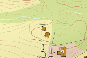
3407 Gjøvik | 8a99a2ee-31ab-4c98-8671-019ade3b68ce | 300730673 | 21 | TB | 182 | 2019-02-19 | N: 6752385.22, Ø: 567625.43 | ![Kartbilde fra WMS-tjeneste av avviket](https://wms.geonorge.no/skwms1/wms.topo?VERSION=1.1.1&SERVICE=WMS&REQUEST=GetMap&LAYERS=topo&STYLES=&FORMAT=image/png&SRS=EPSG:25832&BBOX=567550.0,6752335,567700.0,6752435&WIDTH=300&HEIGHT=200) |
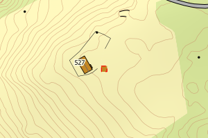
3407 Gjøvik | f5542594-b5a8-4e61-9b21-84ea5de52598 | 300469492 | 21 | FA | 181 | 2018-06-26 | N: 6753580.11, Ø: 569624.43 | ![Kartbilde fra WMS-tjeneste av avviket](https://wms.geonorge.no/skwms1/wms.topo?VERSION=1.1.1&SERVICE=WMS&REQUEST=GetMap&LAYERS=topo&STYLES=&FORMAT=image/png&SRS=EPSG:25832&BBOX=569549.0,6753530,569699.0,6753630&WIDTH=300&HEIGHT=200) |
3407 Gjøvik | 7210f6f7-8ce8-4f1f-99c6-914c105038b6 | 300469511 | 21 | FA | 181 | 2018-06-26 | N: 6753573.67, Ø: 569593.16 | ![Kartbilde fra WMS-tjeneste av avviket](https://wms.geonorge.no/skwms1/wms.topo?VERSION=1.1.1&SERVICE=WMS&REQUEST=GetMap&LAYERS=topo&STYLES=&FORMAT=image/png&SRS=EPSG:25832&BBOX=569518.0,6753523,569668.0,6753623&WIDTH=300&HEIGHT=200) |
3407 Gjøvik | 47df7556-74c6-44c6-be52-91c7c1e6b1cb | 155659416 | 21 | TB | 249 | 2008-01-18 | N: 6742817.00, Ø: 589774.00 | ![Kartbilde fra WMS-tjeneste av avviket](https://wms.geonorge.no/skwms1/wms.topo?VERSION=1.1.1&SERVICE=WMS&REQUEST=GetMap&LAYERS=topo&STYLES=&FORMAT=image/png&SRS=EPSG:25832&BBOX=589698.0,6742766,589848.0,6742866&WIDTH=300&HEIGHT=200) |