Avvikene skyldes oftest manglende oppdatering av kartreg-egenskapen i FKB-Tiltak. Rettes vanligvis i FKB-Tiltak. Kan også være tilbygg som er kodet feil som nybygg i tiltaksbasen, men riktig i matrikkelen.
| Kommune | LokalId | Tiltak_Byggnr | Saksreferanse | Byggstatus | Tiltak_Avgjørelsesdato | Matrikkel_Bygningsstatus | Matrikkel_Vedtaksdato | Posisjon | WMS-bilde |
|---|
| 3338 Nore og Uvdal | 2835ad95-99d5-46fb-8752-3ee7de35c8ff | None | 20201192 | 161 | 2020-04-17 00:00:00 | FA | 2024-09-09 | N: 6689263.54, Ø: 472062.46 | 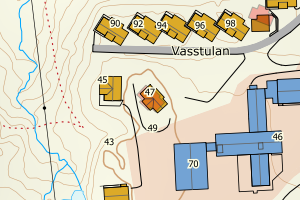 |
| 3338 Nore og Uvdal | 29661e33-2674-47af-8f92-e2babab44d52 | 301117745 | 20223263 | 161 | 2022-10-19 00:00:00 | FA | 2024-04-30 | N: 6684693.65, Ø: 474365.56 | 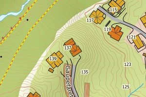 |
| 3338 Nore og Uvdal | 97b0fbdf-64b1-466a-9f88-09cb6136e218 | None | 24/3448 | 161 | None | FA | 2023-11-21 | N: 6684093.41, Ø: 473632.35 | 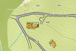 |
| 3338 Nore og Uvdal | ae3efe6d-76dc-46e6-b880-e6203bfc46ae | 301075517 | 2022568 | 161 | 2022-06-27 00:00:00 | FA | 2023-06-02 | N: 6682798.42, Ø: 489654.77 | 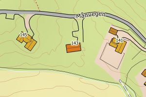 |
| 3338 Nore og Uvdal | b79864af-8930-4d30-81b8-3b3c38eb5737 | 301000245 | 202270 | 161 | 2022-01-20 00:00:00 | FA | 2023-06-02 | N: 6696513.33, Ø: 495458.12 | 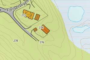 |
| 3338 Nore og Uvdal | d1013970-ffda-4637-88d7-2f8346017aad | 300560691 | 2016538 | 161 | 2016-05-31 00:00:00 | FA | 2023-03-20 | N: 6685214.00, Ø: 507817.55 | 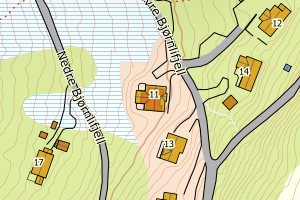 |
| 3338 Nore og Uvdal | 56016503-e0f2-47a9-88d0-250ce4ffb6a7 | 301033337 | 2022491 | 161 | 2022-03-18 00:00:00 | FA | 2023-02-09 | N: 6687074.28, Ø: 474399.39 | 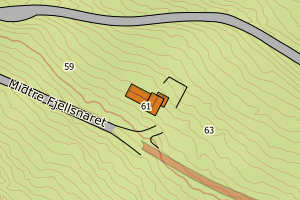 |
| 3338 Nore og Uvdal | 490571e9-e454-4281-9b2d-ec00986ed028 | 300841206 | 20203924 | 182 | 2020-12-07 00:00:00 | FA | 2022-08-12 | N: 6694557.01, Ø: 471013.90 |  |
| 3338 Nore og Uvdal | 62a6a859-ea13-49d0-8834-f28353e911bc | 300872916 | 20211610 | 161 | 2021-05-26 00:00:00 | FA | 2022-04-08 | N: 6674815.81, Ø: 493981.65 | 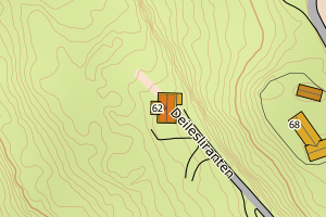 |
| 3338 Nore og Uvdal | ca981cfd-8b0e-49a0-ba31-837f1a09a41e | 300838998 | 20201708 | 182 | 2020-11-24 00:00:00 | FA | 2021-09-02 | N: 6677199.30, Ø: 494580.32 | 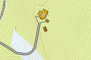 |
| 3338 Nore og Uvdal | f5b644fb-bda6-4889-9215-c6cc35855aa6 | 300574978 | 164276 | 111 | 2016-07-28 00:00:00 | FA | 2018-07-16 | N: 6669051.39, Ø: 572217.21 | 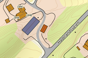 |
| 3338 Nore og Uvdal | 7b831ae1-3261-4827-bdaa-7a9d6f289f86 | 19853624 | 25/2593 | 161 | None | FA | 2013-01-24 | N: 6688642.74, Ø: 493494.33 | 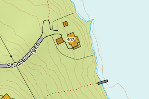 |
| 3338 Nore og Uvdal | c7847ae6-b806-40cb-9f32-7cb24a602ea3 | 19849805 | 25/2366 | 111 | None | TB | 2001-01-04 | N: 6661155.82, Ø: 504588.74 | 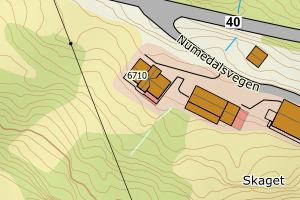 |
| 3338 Nore og Uvdal | 9682c163-7a1f-45a2-9b69-e80a52d79276 | 13076987 | 25/2449 | 161 | None | TB | 1995-07-01 | N: 6684866.72, Ø: 474006.18 | 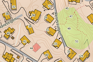 |
| 3338 Nore og Uvdal | ac66ba71-6975-4518-88fa-638f4c28e859 | 13071500 | 25/2571 | 111 | None | TB | 1989-08-01 | N: 6669732.78, Ø: 500908.57 | 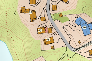 |
| 3338 Nore og Uvdal | 62e691a7-f5fd-4057-a8f7-253b14f6a71e | 300830797 | 20203209 | 181 | 2020-10-14 00:00:00 | TB | Ingen vedtaksdato | N: 6677897.91, Ø: 500103.77 | 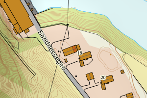 |
| 3338 Nore og Uvdal | 1d15af2e-c679-40a3-83d1-0a55e60c826c | 161415448 | 25/2267 | 161 | None | TB | Ingen vedtaksdato | N: 6688308.52, Ø: 468934.36 | 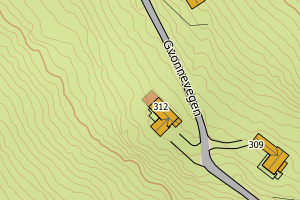 |
| 3338 Nore og Uvdal | 1351a395-d8cf-472f-bacb-9cf17d1f03b6 | 161477680 | 23/3034 | 161 | None | TB | Ingen vedtaksdato | N: 6696941.55, Ø: 494461.45 | 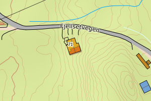 |
| 3338 Nore og Uvdal | 84d4ac74-a97b-4247-9306-0fa25b9e9301 | 161424722 | 25/2610 | 241 | None | TB | Ingen vedtaksdato | N: 6686042.81, Ø: 473768.83 | 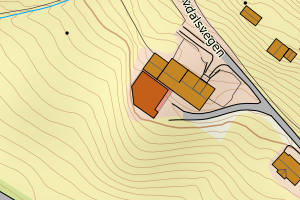 |
| 3338 Nore og Uvdal | 15c856ca-f51c-41ce-83ee-b505d8996dfd | 161476323 | 23/1860 | 161 | 2023-07-04 00:00:00 | TB | Ingen vedtaksdato | N: 6693211.59, Ø: 495663.99 | 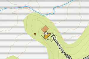 |
| 3338 Nore og Uvdal | 40624925-0207-401b-a964-47e3b01286f9 | 161505412 | 25/2366 | 241 | None | TB | Ingen vedtaksdato | N: 6661145.12, Ø: 504633.19 | 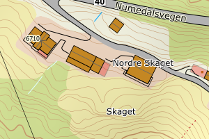 |
| 3338 Nore og Uvdal | b0b94573-d8e4-4b22-a86c-a5de56652728 | 161449415 | 2023/1543 | 171 | None | TB | Ingen vedtaksdato | N: 6683139.67, Ø: 490039.95 | 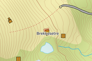 |
| 3338 Nore og Uvdal | 662fa9d8-f1dd-4cc5-af4d-36e79be5d22d | 161421022 | 24/1889 | 161 | None | TB | Ingen vedtaksdato | N: 6678622.04, Ø: 474840.92 | 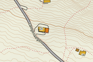 |
| 3338 Nore og Uvdal | 8184e9aa-b069-4de1-b909-a938ccb7b31d | 161434167 | 24/1828 | 161 | None | TB | Ingen vedtaksdato | N: 6702273.93, Ø: 483008.41 | 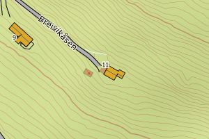 |
| 3338 Nore og Uvdal | 8ea67f96-988c-494c-952d-c7f7f7fb39db | 161498785 | 24/1210 | 124 | None | TB | Ingen vedtaksdato | N: 6680349.58, Ø: 499150.63 | 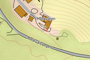 |
| 3338 Nore og Uvdal | 36cb6d27-16a6-4231-988d-67dfd93849d5 | None | 23/3423 | 161 | None | TB | Ingen vedtaksdato | N: 6688824.83, Ø: 493575.40 | 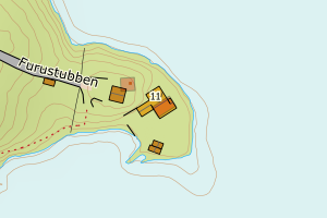 |
| 3338 Nore og Uvdal | a5e98577-4798-4d4e-9de4-b1efa49be4ed | None | 23/2006 | 161 | None | TB | Ingen vedtaksdato | N: 6689954.90, Ø: 472591.56 | 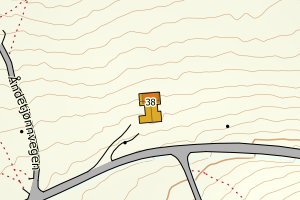 |
| 3338 Nore og Uvdal | 1235a17c-eb12-4614-b1a2-95a49a652a6f | None | 23/3924 | 161 | None | TB | Ingen vedtaksdato | N: 6699258.90, Ø: 492643.23 | 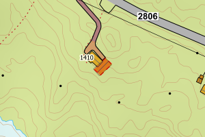 |
| 3338 Nore og Uvdal | 50d10b40-408b-4c3c-91a3-29ec8433eecc | 161417009 | 25/1085 | 161 | None | TB | Ingen vedtaksdato | N: 6690684.46, Ø: 471955.71 | 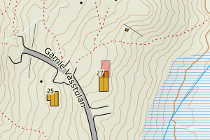 |
| 3338 Nore og Uvdal | edc3b975-7233-4794-b241-7f7e2f2f8899 | 161417505 | 25/1178 | 161 | None | TB | Ingen vedtaksdato | N: 6691751.20, Ø: 471702.15 | 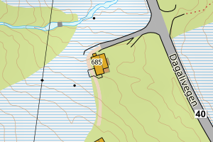 |
| 3338 Nore og Uvdal | 28890b8a-60c7-4427-b368-d2146beaef9f | 161417505 | 25/1178 | 161 | None | TB | Ingen vedtaksdato | N: 6691757.38, Ø: 471703.14 | 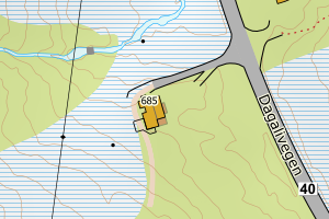 |
| 3338 Nore og Uvdal | ecce8341-24af-4476-8071-56425251829f | 161451495 | 25/1286 | 161 | None | TB | Ingen vedtaksdato | N: 6699317.91, Ø: 486262.48 | 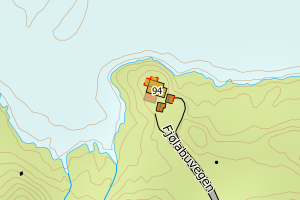 |
| 3338 Nore og Uvdal | d8330930-e789-45a7-9029-5239e18885bf | 161433160 | 24/3790 | 171 | None | TB | Ingen vedtaksdato | N: 6686368.33, Ø: 482677.55 | 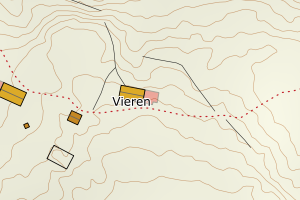 |
| 3338 Nore og Uvdal | 09d179e5-b662-49e8-81a4-d52a7363b688 | 161433152 | 24/1790 | 171 | None | TB | Ingen vedtaksdato | N: 6686373.98, Ø: 482600.78 | 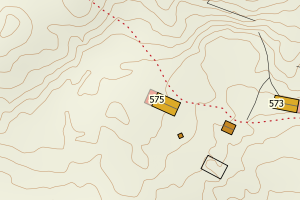 |
| 3338 Nore og Uvdal | 8ce1b5a4-3974-4875-bc2d-1041d882ad7b | None | 201533 | 161 | 2015-01-22 00:00:00 | TB | Ingen vedtaksdato | N: 6701820.68, Ø: 487842.61 | 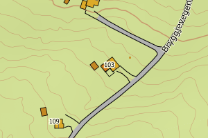 |