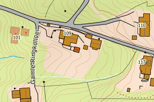
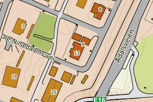
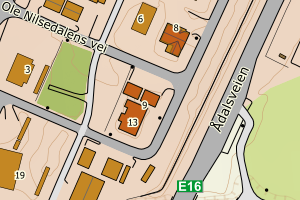
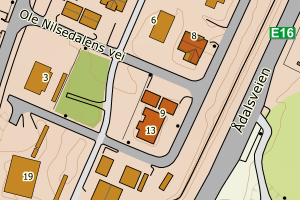
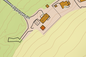
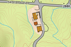
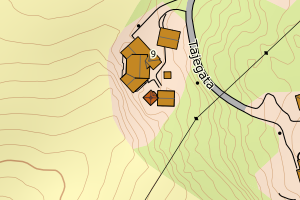
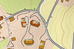
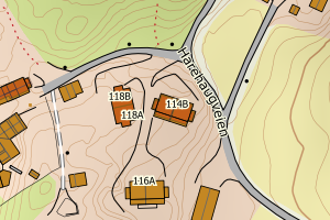
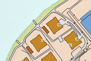
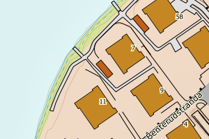
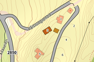
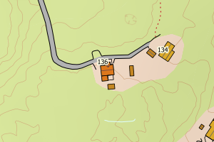
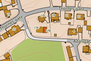
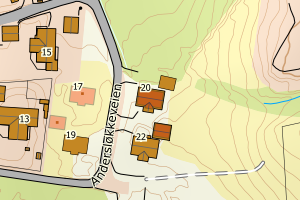
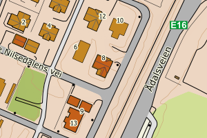
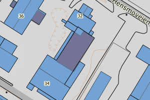
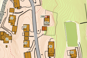
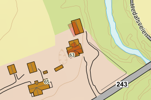
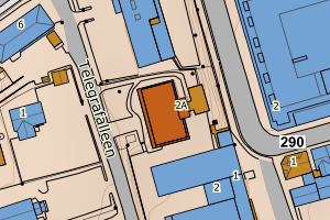
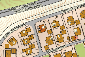
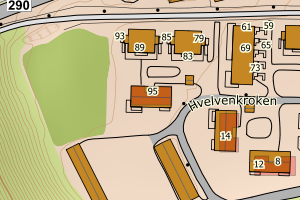
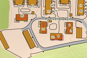
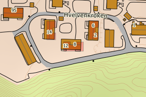
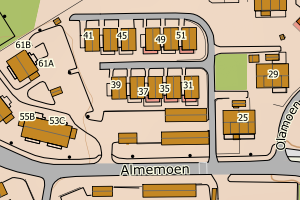
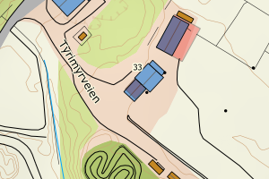
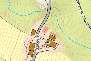
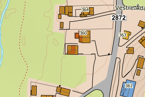
Avvikene skyldes oftest manglende oppdatering av kartreg-egenskapen i FKB-Tiltak. Rettes vanligvis i FKB-Tiltak
Kommune | LokalId | Tiltak_Byggnr | Saksreferanse | Byggstatus | Tiltak_Avgjørelsesdato | Matrikkel_Bygningsstatus | Matrikkel_Vedtaksdato | Posisjon | WMS-bilde |
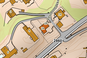
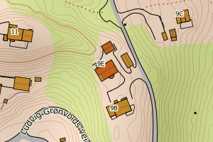
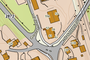
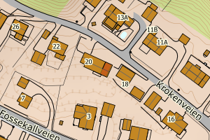
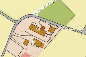
3305 Ringerike | f0add543-795a-4888-9819-b4a9c9460c67 | None | 917940 | 161 | 2011-09-05 00:00:00 | FA | 2013-05-07 | N: 6671160.72, Ø: 579159.98 | ![Kartbilde fra WMS-tjeneste av avviket](https://wms.geonorge.no/skwms1/wms.topo?VERSION=1.1.1&SERVICE=WMS&REQUEST=GetMap&LAYERS=topo&STYLES=&FORMAT=image/png&SRS=EPSG:25832&BBOX=579084.0,6671110,579234.0,6671210&WIDTH=300&HEIGHT=200) |
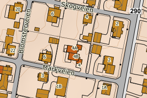
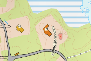
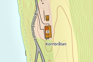
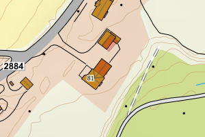
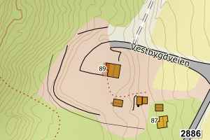
3305 Ringerike | 82ff36e9-88c4-4005-8879-ed6cf484377e | None | 132165 | 111 | 2013-06-25 00:00:00 | FA | 2014-03-04 | N: 6664686.09, Ø: 575159.61 | ![Kartbilde fra WMS-tjeneste av avviket](https://wms.geonorge.no/skwms1/wms.topo?VERSION=1.1.1&SERVICE=WMS&REQUEST=GetMap&LAYERS=topo&STYLES=&FORMAT=image/png&SRS=EPSG:25832&BBOX=575084.0,6664636,575234.0,6664736&WIDTH=300&HEIGHT=200) |
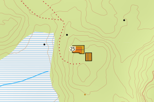
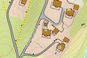
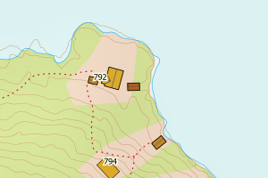
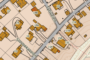
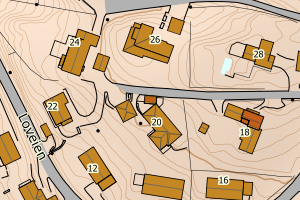
3305 Ringerike | 8dc54b61-6d83-4322-b340-cc9cee74ba23 | None | 133151 | 111 | 2013-09-09 00:00:00 | TB | None | N: 6671911.20, Ø: 570015.88 | ![Kartbilde fra WMS-tjeneste av avviket](https://wms.geonorge.no/skwms1/wms.topo?VERSION=1.1.1&SERVICE=WMS&REQUEST=GetMap&LAYERS=topo&STYLES=&FORMAT=image/png&SRS=EPSG:25832&BBOX=569940.0,6671861,570090.0,6671961&WIDTH=300&HEIGHT=200) |
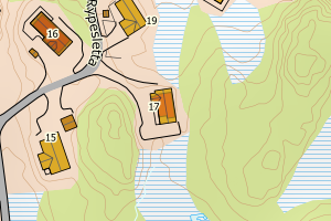
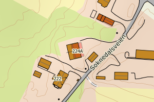
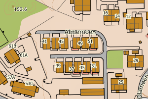
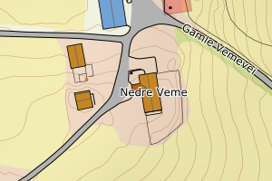
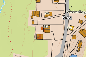
3305 Ringerike | 1850feca-fe5a-41ad-ad84-51f8a428db35 | None | 133667 | 211 | 2013-10-18 00:00:00 | MB | 2018-04-10 | N: 6677100.09, Ø: 568783.69 | ![Kartbilde fra WMS-tjeneste av avviket](https://wms.geonorge.no/skwms1/wms.topo?VERSION=1.1.1&SERVICE=WMS&REQUEST=GetMap&LAYERS=topo&STYLES=&FORMAT=image/png&SRS=EPSG:25832&BBOX=568708.0,6677050,568858.0,6677150&WIDTH=300&HEIGHT=200) |
3305 Ringerike | 0a5e9283-dd7f-4959-9a34-4b09753b9a3e | None | 14780 | 136 | 2014-03-12 00:00:00 | FA | 2015-04-07 | N: 6673030.68, Ø: 568434.49 | ![Kartbilde fra WMS-tjeneste av avviket](https://wms.geonorge.no/skwms1/wms.topo?VERSION=1.1.1&SERVICE=WMS&REQUEST=GetMap&LAYERS=topo&STYLES=&FORMAT=image/png&SRS=EPSG:25832&BBOX=568359.0,6672980,568509.0,6673080&WIDTH=300&HEIGHT=200) |
3305 Ringerike | fd7f4bc9-d407-45f3-88cf-4fa52237c4a3 | None | 141428 | 111 | 2014-04-22 00:00:00 | TB | None | N: 6671856.07, Ø: 573971.69 | ![Kartbilde fra WMS-tjeneste av avviket](https://wms.geonorge.no/skwms1/wms.topo?VERSION=1.1.1&SERVICE=WMS&REQUEST=GetMap&LAYERS=topo&STYLES=&FORMAT=image/png&SRS=EPSG:25832&BBOX=573896.0,6671806,574046.0,6671906&WIDTH=300&HEIGHT=200) |
3305 Ringerike | 525e67aa-7e1f-4e61-a4e1-44e6176ce296 | None | 20150629 | 111 | 2015-06-08 00:00:00 | FA | 2017-08-04 | N: 6714191.51, Ø: 551734.04 | ![Kartbilde fra WMS-tjeneste av avviket](https://wms.geonorge.no/skwms1/wms.topo?VERSION=1.1.1&SERVICE=WMS&REQUEST=GetMap&LAYERS=topo&STYLES=&FORMAT=image/png&SRS=EPSG:25832&BBOX=551659.0,6714141,551809.0,6714241&WIDTH=300&HEIGHT=200) |
3305 Ringerike | e4e4a674-1190-4a2f-96c3-55aed02333fc | None | 173862 | 181 | 2017-10-04 00:00:00 | FA | 2017-10-04 | N: 6666581.14, Ø: 571036.58 | ![Kartbilde fra WMS-tjeneste av avviket](https://wms.geonorge.no/skwms1/wms.topo?VERSION=1.1.1&SERVICE=WMS&REQUEST=GetMap&LAYERS=topo&STYLES=&FORMAT=image/png&SRS=EPSG:25832&BBOX=570961.0,6666531,571111.0,6666631&WIDTH=300&HEIGHT=200) |
3305 Ringerike | c0a5a275-5813-47b4-b464-9b0520df5057 | None | 185399 | 161 | 2019-01-09 00:00:00 | FA | 2023-10-10 | N: 6704373.76, Ø: 554529.90 | ![Kartbilde fra WMS-tjeneste av avviket](https://wms.geonorge.no/skwms1/wms.topo?VERSION=1.1.1&SERVICE=WMS&REQUEST=GetMap&LAYERS=topo&STYLES=&FORMAT=image/png&SRS=EPSG:25832&BBOX=554454.0,6704323,554604.0,6704423&WIDTH=300&HEIGHT=200) |
3305 Ringerike | 31dbe0c7-09c2-4d3f-aea6-311f391af15a | None | 22103 | 121 | 2022-11-10 00:00:00 | FA | 2024-07-22 | N: 6670103.93, Ø: 570142.16 | ![Kartbilde fra WMS-tjeneste av avviket](https://wms.geonorge.no/skwms1/wms.topo?VERSION=1.1.1&SERVICE=WMS&REQUEST=GetMap&LAYERS=topo&STYLES=&FORMAT=image/png&SRS=EPSG:25832&BBOX=570067.0,6670053,570217.0,6670153&WIDTH=300&HEIGHT=200) |
3305 Ringerike | 5e1fe8e5-88c4-41af-bc85-7730711bcc60 | None | 21/2660 | 181 | None | FA | 2024-10-01 | N: 6669840.11, Ø: 569223.19 | ![Kartbilde fra WMS-tjeneste av avviket](https://wms.geonorge.no/skwms1/wms.topo?VERSION=1.1.1&SERVICE=WMS&REQUEST=GetMap&LAYERS=topo&STYLES=&FORMAT=image/png&SRS=EPSG:25832&BBOX=569148.0,6669790,569298.0,6669890&WIDTH=300&HEIGHT=200) |
3305 Ringerike | f19b1e37-97ee-4cc4-bf89-9ded3925814d | None | 21/2660 | 181 | None | FA | 2024-10-01 | N: 6669872.79, Ø: 569249.40 | ![Kartbilde fra WMS-tjeneste av avviket](https://wms.geonorge.no/skwms1/wms.topo?VERSION=1.1.1&SERVICE=WMS&REQUEST=GetMap&LAYERS=topo&STYLES=&FORMAT=image/png&SRS=EPSG:25832&BBOX=569174.0,6669822,569324.0,6669922&WIDTH=300&HEIGHT=200) |
3305 Ringerike | 0280a064-80c6-4f69-9850-37b3293aad19 | None | 24/7916 | 161 | None | FA | 2024-08-26 | N: 6674533.33, Ø: 544485.46 | ![Kartbilde fra WMS-tjeneste av avviket](https://wms.geonorge.no/skwms1/wms.topo?VERSION=1.1.1&SERVICE=WMS&REQUEST=GetMap&LAYERS=topo&STYLES=&FORMAT=image/png&SRS=EPSG:25832&BBOX=544410.0,6674483,544560.0,6674583&WIDTH=300&HEIGHT=200) |
3305 Ringerike | b0cd029c-beeb-437b-b176-f7ba60bd37b2 | None | 23/13963 | 111 | None | FA | 2024-09-24 | N: 6666665.37, Ø: 575052.65 | ![Kartbilde fra WMS-tjeneste av avviket](https://wms.geonorge.no/skwms1/wms.topo?VERSION=1.1.1&SERVICE=WMS&REQUEST=GetMap&LAYERS=topo&STYLES=&FORMAT=image/png&SRS=EPSG:25832&BBOX=574977.0,6666615,575127.0,6666715&WIDTH=300&HEIGHT=200) |
3305 Ringerike | 147d2576-3c29-49d5-8396-e11a885835c9 | 300652523 | 172555 | 121 | 2017-10-30 00:00:00 | FA | 2018-05-09 | N: 6677141.13, Ø: 553543.87 | ![Kartbilde fra WMS-tjeneste av avviket](https://wms.geonorge.no/skwms1/wms.topo?VERSION=1.1.1&SERVICE=WMS&REQUEST=GetMap&LAYERS=topo&STYLES=&FORMAT=image/png&SRS=EPSG:25832&BBOX=553468.0,6677091,553618.0,6677191&WIDTH=300&HEIGHT=200) |
3305 Ringerike | 0641f692-06a6-43de-8a3f-9c77e7b63f4b | 300564465 | 163631 | 182 | 2016-06-14 00:00:00 | FA | 2017-07-06 | N: 6670304.69, Ø: 575354.07 | ![Kartbilde fra WMS-tjeneste av avviket](https://wms.geonorge.no/skwms1/wms.topo?VERSION=1.1.1&SERVICE=WMS&REQUEST=GetMap&LAYERS=topo&STYLES=&FORMAT=image/png&SRS=EPSG:25832&BBOX=575279.0,6670254,575429.0,6670354&WIDTH=300&HEIGHT=200) |
3305 Ringerike | 8e0ce23c-4735-4790-8a15-c4e2d01fd27b | 159147061 | 142736 | 111 | 2014-08-28 00:00:00 | TB | None | N: 6679042.28, Ø: 551532.22 | ![Kartbilde fra WMS-tjeneste av avviket](https://wms.geonorge.no/skwms1/wms.topo?VERSION=1.1.1&SERVICE=WMS&REQUEST=GetMap&LAYERS=topo&STYLES=&FORMAT=image/png&SRS=EPSG:25832&BBOX=551457.0,6678992,551607.0,6679092&WIDTH=300&HEIGHT=200) |
3305 Ringerike | 8e4a71a9-5992-46e3-a678-a9a13c97fa70 | 300684122 | 181681 | 181 | 2018-05-15 00:00:00 | FA | 2019-11-25 | N: 6683182.50, Ø: 565819.28 | ![Kartbilde fra WMS-tjeneste av avviket](https://wms.geonorge.no/skwms1/wms.topo?VERSION=1.1.1&SERVICE=WMS&REQUEST=GetMap&LAYERS=topo&STYLES=&FORMAT=image/png&SRS=EPSG:25832&BBOX=565744.0,6683132,565894.0,6683232&WIDTH=300&HEIGHT=200) |
3305 Ringerike | 9ac91105-b48a-463f-9607-e9ca06911e50 | 300767931 | 193403 | 121 | 2019-08-30 00:00:00 | FA | 2021-01-12 | N: 6669800.86, Ø: 568388.44 | ![Kartbilde fra WMS-tjeneste av avviket](https://wms.geonorge.no/skwms1/wms.topo?VERSION=1.1.1&SERVICE=WMS&REQUEST=GetMap&LAYERS=topo&STYLES=&FORMAT=image/png&SRS=EPSG:25832&BBOX=568313.0,6669750,568463.0,6669850&WIDTH=300&HEIGHT=200) |
3305 Ringerike | a5427bdf-4f4a-49b9-8f6e-e9e5a1588042 | 300682103 | 181209 | 182 | 2018-04-05 00:00:00 | FA | 2018-11-16 | N: 6711939.60, Ø: 560986.78 | ![Kartbilde fra WMS-tjeneste av avviket](https://wms.geonorge.no/skwms1/wms.topo?VERSION=1.1.1&SERVICE=WMS&REQUEST=GetMap&LAYERS=topo&STYLES=&FORMAT=image/png&SRS=EPSG:25832&BBOX=560911.0,6711889,561061.0,6711989&WIDTH=300&HEIGHT=200) |
3305 Ringerike | accd0db9-fdb7-41b6-add8-2dc51f4ab093 | 300753152 | 191574 | 111 | 2019-07-02 00:00:00 | FA | 2020-05-04 | N: 6671390.16, Ø: 568811.41 | ![Kartbilde fra WMS-tjeneste av avviket](https://wms.geonorge.no/skwms1/wms.topo?VERSION=1.1.1&SERVICE=WMS&REQUEST=GetMap&LAYERS=topo&STYLES=&FORMAT=image/png&SRS=EPSG:25832&BBOX=568736.0,6671340,568886.0,6671440&WIDTH=300&HEIGHT=200) |
3305 Ringerike | af4a2fc1-6df1-4450-b1e6-f81dacbb24ac | 300805308 | 2035 | 161 | 2020-04-28 00:00:00 | MB | 2020-11-10 | N: 6669742.99, Ø: 577006.02 | ![Kartbilde fra WMS-tjeneste av avviket](https://wms.geonorge.no/skwms1/wms.topo?VERSION=1.1.1&SERVICE=WMS&REQUEST=GetMap&LAYERS=topo&STYLES=&FORMAT=image/png&SRS=EPSG:25832&BBOX=576931.0,6669692,577081.0,6669792&WIDTH=300&HEIGHT=200) |
3305 Ringerike | 8dd012e2-7c69-4eae-8ce5-365b2acf92fb | 159319237 | 153168 | 111 | 2015-04-08 00:00:00 | TB | None | N: 6684131.41, Ø: 564331.22 | ![Kartbilde fra WMS-tjeneste av avviket](https://wms.geonorge.no/skwms1/wms.topo?VERSION=1.1.1&SERVICE=WMS&REQUEST=GetMap&LAYERS=topo&STYLES=&FORMAT=image/png&SRS=EPSG:25832&BBOX=564256.0,6684081,564406.0,6684181&WIDTH=300&HEIGHT=200) |
3305 Ringerike | bc2539d0-88a8-49e4-9605-8f471ccdadcd | 300494238 | 153168 | 181 | 2015-04-08 00:00:00 | TB | None | N: 6684118.10, Ø: 564325.93 | ![Kartbilde fra WMS-tjeneste av avviket](https://wms.geonorge.no/skwms1/wms.topo?VERSION=1.1.1&SERVICE=WMS&REQUEST=GetMap&LAYERS=topo&STYLES=&FORMAT=image/png&SRS=EPSG:25832&BBOX=564250.0,6684068,564400.0,6684168&WIDTH=300&HEIGHT=200) |
3305 Ringerike | 6d526a99-2ea7-4136-ba8a-f3019f5c69ce | 301079767 | 225233 | 111 | 2022-07-01 00:00:00 | FA | 2024-06-28 | N: 6670735.59, Ø: 574650.42 | ![Kartbilde fra WMS-tjeneste av avviket](https://wms.geonorge.no/skwms1/wms.topo?VERSION=1.1.1&SERVICE=WMS&REQUEST=GetMap&LAYERS=topo&STYLES=&FORMAT=image/png&SRS=EPSG:25832&BBOX=574575.0,6670685,574725.0,6670785&WIDTH=300&HEIGHT=200) |
3305 Ringerike | bd960441-ec0a-43c8-b902-77e678803a15 | 301081317 | 226288 | 111 | 2022-07-05 00:00:00 | MB | 2023-07-31 | N: 6672323.58, Ø: 570657.76 | ![Kartbilde fra WMS-tjeneste av avviket](https://wms.geonorge.no/skwms1/wms.topo?VERSION=1.1.1&SERVICE=WMS&REQUEST=GetMap&LAYERS=topo&STYLES=&FORMAT=image/png&SRS=EPSG:25832&BBOX=570582.0,6672273,570732.0,6672373&WIDTH=300&HEIGHT=200) |
3305 Ringerike | eea1f8a1-9b6a-457c-98ac-b2a04ff44d66 | 301090935 | 191776 | 121 | 2020-04-03 00:00:00 | FA | 2023-05-30 | N: 6670779.95, Ø: 570856.04 | ![Kartbilde fra WMS-tjeneste av avviket](https://wms.geonorge.no/skwms1/wms.topo?VERSION=1.1.1&SERVICE=WMS&REQUEST=GetMap&LAYERS=topo&STYLES=&FORMAT=image/png&SRS=EPSG:25832&BBOX=570781.0,6670729,570931.0,6670829&WIDTH=300&HEIGHT=200) |
3305 Ringerike | 613ce141-da1a-40aa-992e-f172f108ef21 | 300495865 | 153303 | 111 | 2015-04-20 00:00:00 | FA | 2015-09-17 | N: 6671088.99, Ø: 574274.57 | ![Kartbilde fra WMS-tjeneste av avviket](https://wms.geonorge.no/skwms1/wms.topo?VERSION=1.1.1&SERVICE=WMS&REQUEST=GetMap&LAYERS=topo&STYLES=&FORMAT=image/png&SRS=EPSG:25832&BBOX=574199.0,6671038,574349.0,6671138&WIDTH=300&HEIGHT=200) |
3305 Ringerike | bd968ced-8703-4970-9401-c9f59ebb02be | 300255595 | 141402 | 136 | 2014-04-14 00:00:00 | FA | 2015-05-22 | N: 6670128.70, Ø: 568657.96 | ![Kartbilde fra WMS-tjeneste av avviket](https://wms.geonorge.no/skwms1/wms.topo?VERSION=1.1.1&SERVICE=WMS&REQUEST=GetMap&LAYERS=topo&STYLES=&FORMAT=image/png&SRS=EPSG:25832&BBOX=568582.0,6670078,568732.0,6670178&WIDTH=300&HEIGHT=200) |
3305 Ringerike | 12b1db26-34b6-4dfe-937a-28d1a7c3c000 | 300255605 | 141402 | 136 | 2014-04-14 00:00:00 | FA | 2015-05-22 | N: 6670110.96, Ø: 568695.28 | ![Kartbilde fra WMS-tjeneste av avviket](https://wms.geonorge.no/skwms1/wms.topo?VERSION=1.1.1&SERVICE=WMS&REQUEST=GetMap&LAYERS=topo&STYLES=&FORMAT=image/png&SRS=EPSG:25832&BBOX=568620.0,6670060,568770.0,6670160&WIDTH=300&HEIGHT=200) |
3305 Ringerike | c01351d9-5b14-4450-b00a-bc4f53885e8e | 300255612 | 141402 | 136 | 2014-04-14 00:00:00 | FA | 2015-05-22 | N: 6670093.50, Ø: 568719.80 | ![Kartbilde fra WMS-tjeneste av avviket](https://wms.geonorge.no/skwms1/wms.topo?VERSION=1.1.1&SERVICE=WMS&REQUEST=GetMap&LAYERS=topo&STYLES=&FORMAT=image/png&SRS=EPSG:25832&BBOX=568644.0,6670043,568794.0,6670143&WIDTH=300&HEIGHT=200) |
3305 Ringerike | 6d9a3d1a-1e79-4233-aeed-89795b7ce79c | 300255609 | 141402 | 136 | 2014-04-14 00:00:00 | FA | 2015-05-22 | N: 6670111.41, Ø: 568739.15 | ![Kartbilde fra WMS-tjeneste av avviket](https://wms.geonorge.no/skwms1/wms.topo?VERSION=1.1.1&SERVICE=WMS&REQUEST=GetMap&LAYERS=topo&STYLES=&FORMAT=image/png&SRS=EPSG:25832&BBOX=568664.0,6670061,568814.0,6670161&WIDTH=300&HEIGHT=200) |
3305 Ringerike | 33c082dc-744e-4314-9dc7-928b0f400aa9 | 301112323 | 229733 | 111 | 2022-10-05 00:00:00 | FA | 2024-05-08 | N: 6682548.75, Ø: 565623.50 | ![Kartbilde fra WMS-tjeneste av avviket](https://wms.geonorge.no/skwms1/wms.topo?VERSION=1.1.1&SERVICE=WMS&REQUEST=GetMap&LAYERS=topo&STYLES=&FORMAT=image/png&SRS=EPSG:25832&BBOX=565548.0,6682498,565698.0,6682598&WIDTH=300&HEIGHT=200) |
3305 Ringerike | ed2b35ef-6d85-4912-9853-cb321d9dc36e | 300505008 | 23/15660 - 7 | 212 | 2015-06-19 00:00:00 | FA | 2017-03-30 | N: 6682612.03, Ø: 565747.35 | ![Kartbilde fra WMS-tjeneste av avviket](https://wms.geonorge.no/skwms1/wms.topo?VERSION=1.1.1&SERVICE=WMS&REQUEST=GetMap&LAYERS=topo&STYLES=&FORMAT=image/png&SRS=EPSG:25832&BBOX=565672.0,6682562,565822.0,6682662&WIDTH=300&HEIGHT=200) |
3305 Ringerike | 366db0c4-bfdc-4fb9-aea6-71e61d7b87f3 | 301331298 | 24/13276 | 121 | 2024-10-15 00:00:00 | FA | 2024-10-21 | N: 6679894.55, Ø: 551622.35 | ![Kartbilde fra WMS-tjeneste av avviket](https://wms.geonorge.no/skwms1/wms.topo?VERSION=1.1.1&SERVICE=WMS&REQUEST=GetMap&LAYERS=topo&STYLES=&FORMAT=image/png&SRS=EPSG:25832&BBOX=551547.0,6679844,551697.0,6679944&WIDTH=300&HEIGHT=200) |
3305 Ringerike | 824089ed-2b92-4b7d-963b-60a699932f96 | 301331298 | 24/12037 | 121 | 2024-10-15 00:00:00 | FA | 2024-10-21 | N: 6679891.65, Ø: 551629.35 | ![Kartbilde fra WMS-tjeneste av avviket](https://wms.geonorge.no/skwms1/wms.topo?VERSION=1.1.1&SERVICE=WMS&REQUEST=GetMap&LAYERS=topo&STYLES=&FORMAT=image/png&SRS=EPSG:25832&BBOX=551554.0,6679841,551704.0,6679941&WIDTH=300&HEIGHT=200) |
3305 Ringerike | 68c26405-ae09-401a-b5d0-7573fa906d9c | 301331298 | 24/13276 | 121 | 2024-10-15 00:00:00 | FA | 2024-10-21 | N: 6679906.94, Ø: 551625.78 | ![Kartbilde fra WMS-tjeneste av avviket](https://wms.geonorge.no/skwms1/wms.topo?VERSION=1.1.1&SERVICE=WMS&REQUEST=GetMap&LAYERS=topo&STYLES=&FORMAT=image/png&SRS=EPSG:25832&BBOX=551550.0,6679856,551700.0,6679956&WIDTH=300&HEIGHT=200) |
3305 Ringerike | 2e0bc33c-e043-487c-be3c-340a29a73828 | 159191753 | 24/15569 | 111 | 2024-11-25 00:00:00 | TB | None | N: 6677526.13, Ø: 546618.85 | ![Kartbilde fra WMS-tjeneste av avviket](https://wms.geonorge.no/skwms1/wms.topo?VERSION=1.1.1&SERVICE=WMS&REQUEST=GetMap&LAYERS=topo&STYLES=&FORMAT=image/png&SRS=EPSG:25832&BBOX=546543.0,6677476,546693.0,6677576&WIDTH=300&HEIGHT=200) |
3305 Ringerike | 015815ba-5f35-4140-982d-c1037c64557f | 159141128 | 132452 | 111 | 2013-07-05 00:00:00 | TB | None | N: 6678231.37, Ø: 551272.85 | ![Kartbilde fra WMS-tjeneste av avviket](https://wms.geonorge.no/skwms1/wms.topo?VERSION=1.1.1&SERVICE=WMS&REQUEST=GetMap&LAYERS=topo&STYLES=&FORMAT=image/png&SRS=EPSG:25832&BBOX=551197.0,6678181,551347.0,6678281&WIDTH=300&HEIGHT=200) |
3305 Ringerike | 3681fac6-e7bb-4e22-9daa-89732b2210c2 | 159262944 | 162637 | 181 | 2016-05-26 00:00:00 | TB | None | N: 6704080.81, Ø: 558858.33 | ![Kartbilde fra WMS-tjeneste av avviket](https://wms.geonorge.no/skwms1/wms.topo?VERSION=1.1.1&SERVICE=WMS&REQUEST=GetMap&LAYERS=topo&STYLES=&FORMAT=image/png&SRS=EPSG:25832&BBOX=558783.0,6704030,558933.0,6704130&WIDTH=300&HEIGHT=200) |
3305 Ringerike | 421c5f0e-6793-4386-acb9-df5947ba1b0c | 300564456 | 163631 | 161 | 2016-06-14 00:00:00 | FA | 2017-07-06 | N: 6670313.09, Ø: 575341.78 | ![Kartbilde fra WMS-tjeneste av avviket](https://wms.geonorge.no/skwms1/wms.topo?VERSION=1.1.1&SERVICE=WMS&REQUEST=GetMap&LAYERS=topo&STYLES=&FORMAT=image/png&SRS=EPSG:25832&BBOX=575266.0,6670263,575416.0,6670363&WIDTH=300&HEIGHT=200) |
3305 Ringerike | 524df915-993c-4bcd-91a2-4e2af37a3cc0 | 300008716 | 163091 | 111 | 2016-06-01 00:00:00 | FA | 2011-12-19 | N: 6673276.28, Ø: 570541.02 | ![Kartbilde fra WMS-tjeneste av avviket](https://wms.geonorge.no/skwms1/wms.topo?VERSION=1.1.1&SERVICE=WMS&REQUEST=GetMap&LAYERS=topo&STYLES=&FORMAT=image/png&SRS=EPSG:25832&BBOX=570466.0,6673226,570616.0,6673326&WIDTH=300&HEIGHT=200) |
3305 Ringerike | 526784d1-043a-45d7-94f0-c7c1a43148b6 | 300692104 | 182219 | 161 | 2018-06-28 00:00:00 | FA | 2020-05-07 | N: 6695981.90, Ø: 555729.43 | ![Kartbilde fra WMS-tjeneste av avviket](https://wms.geonorge.no/skwms1/wms.topo?VERSION=1.1.1&SERVICE=WMS&REQUEST=GetMap&LAYERS=topo&STYLES=&FORMAT=image/png&SRS=EPSG:25832&BBOX=555654.0,6695931,555804.0,6696031&WIDTH=300&HEIGHT=200) |
3305 Ringerike | cadbd85f-571e-4dce-a521-4fb96fdb14b2 | 300753164 | 191574 | 181 | 2019-07-02 00:00:00 | FA | 2020-05-04 | N: 6671406.21, Ø: 568812.33 | ![Kartbilde fra WMS-tjeneste av avviket](https://wms.geonorge.no/skwms1/wms.topo?VERSION=1.1.1&SERVICE=WMS&REQUEST=GetMap&LAYERS=topo&STYLES=&FORMAT=image/png&SRS=EPSG:25832&BBOX=568737.0,6671356,568887.0,6671456&WIDTH=300&HEIGHT=200) |
3305 Ringerike | cdcb412d-a104-44d5-b117-6b578149ddae | 300008684 | 162295 | 111 | 2016-04-15 00:00:00 | FA | 2011-06-30 | N: 6673252.16, Ø: 570542.31 | ![Kartbilde fra WMS-tjeneste av avviket](https://wms.geonorge.no/skwms1/wms.topo?VERSION=1.1.1&SERVICE=WMS&REQUEST=GetMap&LAYERS=topo&STYLES=&FORMAT=image/png&SRS=EPSG:25832&BBOX=570467.0,6673202,570617.0,6673302&WIDTH=300&HEIGHT=200) |
3305 Ringerike | d2f8c775-3f80-43db-a672-25ff7f8d56c2 | 300746637 | 191760 | 161 | 2019-05-22 00:00:00 | FA | 2019-12-02 | N: 6707017.73, Ø: 553614.70 | ![Kartbilde fra WMS-tjeneste av avviket](https://wms.geonorge.no/skwms1/wms.topo?VERSION=1.1.1&SERVICE=WMS&REQUEST=GetMap&LAYERS=topo&STYLES=&FORMAT=image/png&SRS=EPSG:25832&BBOX=553539.0,6706967,553689.0,6707067&WIDTH=300&HEIGHT=200) |
3305 Ringerike | b053cd13-b417-4994-89c3-afdb4db19ee9 | 159158772 | 131854 | 111 | 2013-05-29 00:00:00 | TB | None | N: 6671538.62, Ø: 569683.89 | ![Kartbilde fra WMS-tjeneste av avviket](https://wms.geonorge.no/skwms1/wms.topo?VERSION=1.1.1&SERVICE=WMS&REQUEST=GetMap&LAYERS=topo&STYLES=&FORMAT=image/png&SRS=EPSG:25832&BBOX=569608.0,6671488,569758.0,6671588&WIDTH=300&HEIGHT=200) |
3305 Ringerike | fcdf8597-22e5-47f9-b790-7ffdb9acfc52 | 159247783 | 1440 | 113 | 2014-10-03 00:00:00 | TB | None | N: 6675251.20, Ø: 560368.76 | ![Kartbilde fra WMS-tjeneste av avviket](https://wms.geonorge.no/skwms1/wms.topo?VERSION=1.1.1&SERVICE=WMS&REQUEST=GetMap&LAYERS=topo&STYLES=&FORMAT=image/png&SRS=EPSG:25832&BBOX=560293.0,6675201,560443.0,6675301&WIDTH=300&HEIGHT=200) |
3305 Ringerike | 0d54ebf1-1e87-42ad-824f-7e1d1b56b251 | 300505151 | 155313 | 143 | 2015-06-18 00:00:00 | FA | 2017-06-01 | N: 6670346.31, Ø: 569552.90 | ![Kartbilde fra WMS-tjeneste av avviket](https://wms.geonorge.no/skwms1/wms.topo?VERSION=1.1.1&SERVICE=WMS&REQUEST=GetMap&LAYERS=topo&STYLES=&FORMAT=image/png&SRS=EPSG:25832&BBOX=569477.0,6670296,569627.0,6670396&WIDTH=300&HEIGHT=200) |
3305 Ringerike | 662a570f-c737-4129-919e-acde2494d34c | 300767951 | 193403 | 121 | 2019-08-30 00:00:00 | FA | 2021-01-12 | N: 6669809.48, Ø: 568388.93 | ![Kartbilde fra WMS-tjeneste av avviket](https://wms.geonorge.no/skwms1/wms.topo?VERSION=1.1.1&SERVICE=WMS&REQUEST=GetMap&LAYERS=topo&STYLES=&FORMAT=image/png&SRS=EPSG:25832&BBOX=568313.0,6669759,568463.0,6669859&WIDTH=300&HEIGHT=200) |
3305 Ringerike | 7439b025-be86-4f94-a92d-a55b706852cf | 300694882 | 182496 | 241 | 2018-07-16 00:00:00 | FA | 2019-04-10 | N: 6668080.24, Ø: 575181.68 | ![Kartbilde fra WMS-tjeneste av avviket](https://wms.geonorge.no/skwms1/wms.topo?VERSION=1.1.1&SERVICE=WMS&REQUEST=GetMap&LAYERS=topo&STYLES=&FORMAT=image/png&SRS=EPSG:25832&BBOX=575106.0,6668030,575256.0,6668130&WIDTH=300&HEIGHT=200) |
3305 Ringerike | e283597d-506a-48b5-932e-c4c85653ba15 | 300693554 | 182441 | 181 | 2018-07-05 00:00:00 | FA | 2019-03-19 | N: 6673101.63, Ø: 571702.64 | ![Kartbilde fra WMS-tjeneste av avviket](https://wms.geonorge.no/skwms1/wms.topo?VERSION=1.1.1&SERVICE=WMS&REQUEST=GetMap&LAYERS=topo&STYLES=&FORMAT=image/png&SRS=EPSG:25832&BBOX=571627.0,6673051,571777.0,6673151&WIDTH=300&HEIGHT=200) |
3305 Ringerike | 4aa2fa94-8ce1-49bb-ab61-fe5489060e7c | 300658075 | 24/5148 | 111 | None | FA | 2019-01-04 | N: 6666751.87, Ø: 575391.51 | ![Kartbilde fra WMS-tjeneste av avviket](https://wms.geonorge.no/skwms1/wms.topo?VERSION=1.1.1&SERVICE=WMS&REQUEST=GetMap&LAYERS=topo&STYLES=&FORMAT=image/png&SRS=EPSG:25832&BBOX=575316.0,6666701,575466.0,6666801&WIDTH=300&HEIGHT=200) |
3305 Ringerike | 55450d9f-a81e-421f-a1fe-dce6219ff61c | 301344557 | 24/4205 - 6 | 181 | None | FA | 2024-10-21 | N: 6679887.83, Ø: 551666.36 | ![Kartbilde fra WMS-tjeneste av avviket](https://wms.geonorge.no/skwms1/wms.topo?VERSION=1.1.1&SERVICE=WMS&REQUEST=GetMap&LAYERS=topo&STYLES=&FORMAT=image/png&SRS=EPSG:25832&BBOX=551591.0,6679837,551741.0,6679937&WIDTH=300&HEIGHT=200) |
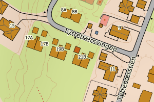
3305 Ringerike | 022163e1-ad8a-45ef-a5c7-ed4a01e7d315 | 159274926 | 111251 | 111 | 2011-05-27 00:00:00 | TB | None | N: 6665415.56, Ø: 568527.24 | ![Kartbilde fra WMS-tjeneste av avviket](https://wms.geonorge.no/skwms1/wms.topo?VERSION=1.1.1&SERVICE=WMS&REQUEST=GetMap&LAYERS=topo&STYLES=&FORMAT=image/png&SRS=EPSG:25832&BBOX=568452.0,6665365,568602.0,6665465&WIDTH=300&HEIGHT=200) |
3305 Ringerike | ece97e9f-8677-439e-987c-aab9ddc78ffb | 300773018 | 184202 | 112 | 2019-10-14 00:00:00 | FA | 2020-03-27 | N: 6662509.96, Ø: 561856.40 | ![Kartbilde fra WMS-tjeneste av avviket](https://wms.geonorge.no/skwms1/wms.topo?VERSION=1.1.1&SERVICE=WMS&REQUEST=GetMap&LAYERS=topo&STYLES=&FORMAT=image/png&SRS=EPSG:25832&BBOX=561781.0,6662459,561931.0,6662559&WIDTH=300&HEIGHT=200) |
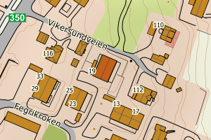
3305 Ringerike | 9140a8e3-4923-424c-9f43-48af685f74c2 | 300344276 | 11567 | 111 | 2013-01-07 00:00:00 | MB | 2016-11-09 | N: 6675533.84, Ø: 558544.49 | ![Kartbilde fra WMS-tjeneste av avviket](https://wms.geonorge.no/skwms1/wms.topo?VERSION=1.1.1&SERVICE=WMS&REQUEST=GetMap&LAYERS=topo&STYLES=&FORMAT=image/png&SRS=EPSG:25832&BBOX=558469.0,6675483,558619.0,6675583&WIDTH=300&HEIGHT=200) |
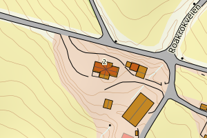
3305 Ringerike | 968a947b-be4e-411c-80d7-6318fbfa4a57 | 301331298 | 24/12037 | 121 | 2024-04-08 00:00:00 | FA | 2024-10-21 | N: 6679886.08, Ø: 551644.60 | ![Kartbilde fra WMS-tjeneste av avviket](https://wms.geonorge.no/skwms1/wms.topo?VERSION=1.1.1&SERVICE=WMS&REQUEST=GetMap&LAYERS=topo&STYLES=&FORMAT=image/png&SRS=EPSG:25832&BBOX=551569.0,6679836,551719.0,6679936&WIDTH=300&HEIGHT=200) |
3305 Ringerike | 67fc843a-7f4f-4c6a-a178-2138e130075d | 301331298 | 24/12037 | 121 | 2024-04-08 00:00:00 | FA | 2024-10-21 | N: 6679883.18, Ø: 551651.60 | ![Kartbilde fra WMS-tjeneste av avviket](https://wms.geonorge.no/skwms1/wms.topo?VERSION=1.1.1&SERVICE=WMS&REQUEST=GetMap&LAYERS=topo&STYLES=&FORMAT=image/png&SRS=EPSG:25832&BBOX=551576.0,6679833,551726.0,6679933&WIDTH=300&HEIGHT=200) |