Avvikene skyldes oftest manglende oppdatering av kartreg-egenskapen i FKB-Tiltak. Rettes vanligvis i FKB-Tiltak. Kan også være tilbygg som er kodet feil som nybygg i tiltaksbasen, men riktig i matrikkelen.
| Kommune | LokalId | Tiltak_Byggnr | Saksreferanse | Byggstatus | Tiltak_Avgjørelsesdato | Matrikkel_Bygningsstatus | Matrikkel_Vedtaksdato | Posisjon | WMS-bilde |
|---|
| 1870 Sortland | 09d1daf2-43cc-47fe-9785-168a51dafc28 | 300992843 | 2021002771 | 181 | 2021-11-22 00:00:00 | FA | 2025-09-18 | N: 7621067.55, Ø: 515737.62 | 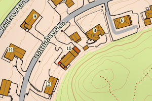 |
| 1870 Sortland | 21ab847a-bb90-476f-a187-4f3ee43c465a | 300992831 | 2021002902 | 181 | 2021-12-19 00:00:00 | FA | 2025-08-25 | N: 7615138.44, Ø: 520551.23 | 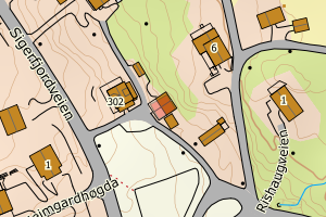 |
| 1870 Sortland | e81c0d59-6d4f-470b-9a25-923dedc78eec | 300968732 | 2021002180 | 181 | 2021-10-28 00:00:00 | FA | 2024-07-11 | N: 7618641.10, Ø: 515844.25 | 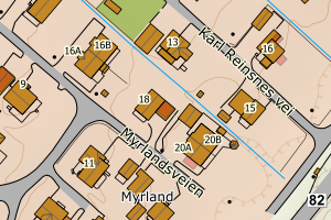 |
| 1870 Sortland | 3ddb38ae-8c71-4a28-82ba-8472717a654e | None | 21/1486 | 113 | 2020-12-02 00:00:00 | FA | 2022-01-25 | N: 7615130.01, Ø: 511856.86 | 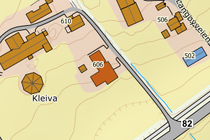 |
| 1870 Sortland | 33125da8-9c18-472a-a3ae-92cb7d06832b | 19307220 | 2262005 | 122 | 2005-05-11 00:00:00 | TB | 2005-10-24 | N: 7639441.51, Ø: 537129.36 | 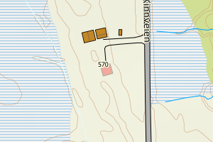 |
| 1870 Sortland | 7e6bf19e-b5b6-4786-9f2c-5ed5684e0f7e | None | 94802009 | 111 | 2009-03-31 00:00:00 | TB | 1988-07-15 | N: 7624437.91, Ø: 521224.53 | 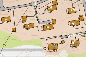 |