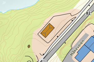
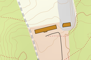
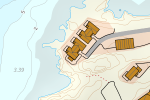
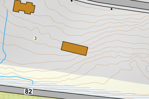
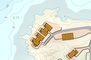
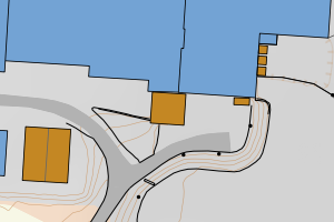
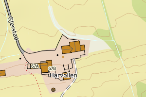
Avvikene skyldes oftest manglende eller unøyaktig registrering av bygningspunkt i matrikkelen. Rettes vanligvis i matrikkelen
Kommune | LokalId | Areal (m2) | Posisjon | WMS-bilde |
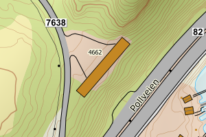
1866 Hadsel | 4c54f71e-5995-4a7c-91ce-417b03600016 | 4052.08 | N: 7611209.45, Ø: 506322.84 | ![Kartbilde fra WMS-tjeneste av avviket](https://wms.geonorge.no/skwms1/wms.topo?VERSION=1.1.1&SERVICE=WMS&REQUEST=GetMap&LAYERS=topo&STYLES=&FORMAT=image/png&SRS=EPSG:25833&BBOX=506247.0,7611159,506397.0,7611259&WIDTH=300&HEIGHT=200) |
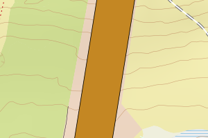
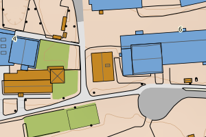
1866 Hadsel | 487a8c57-488f-408b-81d2-8e4f24e45117 | 3013.88 | N: 7606353.60, Ø: 496427.93 | ![Kartbilde fra WMS-tjeneste av avviket](https://wms.geonorge.no/skwms1/wms.topo?VERSION=1.1.1&SERVICE=WMS&REQUEST=GetMap&LAYERS=topo&STYLES=&FORMAT=image/png&SRS=EPSG:25833&BBOX=496352.0,7606303,496502.0,7606403&WIDTH=300&HEIGHT=200) |
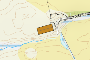
1866 Hadsel | feb94a5c-c77d-493d-bb6f-afba6a29a343 | 2420.77 | N: 7606882.66, Ø: 497964.33 | ![Kartbilde fra WMS-tjeneste av avviket](https://wms.geonorge.no/skwms1/wms.topo?VERSION=1.1.1&SERVICE=WMS&REQUEST=GetMap&LAYERS=topo&STYLES=&FORMAT=image/png&SRS=EPSG:25833&BBOX=497889.0,7606832,498039.0,7606932&WIDTH=300&HEIGHT=200) |
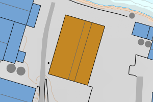
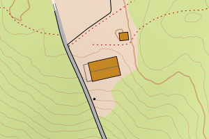
1866 Hadsel | 2e939f79-17b5-4c76-852f-9a5c08524aa8 | 1183.56 | N: 7604929.56, Ø: 497610.93 | ![Kartbilde fra WMS-tjeneste av avviket](https://wms.geonorge.no/skwms1/wms.topo?VERSION=1.1.1&SERVICE=WMS&REQUEST=GetMap&LAYERS=topo&STYLES=&FORMAT=image/png&SRS=EPSG:25833&BBOX=497535.0,7604879,497685.0,7604979&WIDTH=300&HEIGHT=200) |
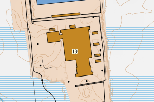
1866 Hadsel | 26fffb29-60ce-483d-b161-67b09f1639ec | 1131.71 | N: 7604232.12, Ø: 499875.31 | ![Kartbilde fra WMS-tjeneste av avviket](https://wms.geonorge.no/skwms1/wms.topo?VERSION=1.1.1&SERVICE=WMS&REQUEST=GetMap&LAYERS=topo&STYLES=&FORMAT=image/png&SRS=EPSG:25833&BBOX=499800.0,7604182,499950.0,7604282&WIDTH=300&HEIGHT=200) |
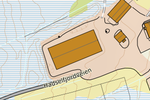
1866 Hadsel | 2c36f217-7260-4a53-9a7e-39af0f4591bb | 674.85 | N: 7598973.51, Ø: 492006.18 | ![Kartbilde fra WMS-tjeneste av avviket](https://wms.geonorge.no/skwms1/wms.topo?VERSION=1.1.1&SERVICE=WMS&REQUEST=GetMap&LAYERS=topo&STYLES=&FORMAT=image/png&SRS=EPSG:25833&BBOX=491931.0,7598923,492081.0,7599023&WIDTH=300&HEIGHT=200) |
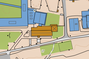
1866 Hadsel | 90209d2d-9d9d-4c1f-845a-0129815c5f2d | 621.92 | N: 7605913.85, Ø: 496171.82 | ![Kartbilde fra WMS-tjeneste av avviket](https://wms.geonorge.no/skwms1/wms.topo?VERSION=1.1.1&SERVICE=WMS&REQUEST=GetMap&LAYERS=topo&STYLES=&FORMAT=image/png&SRS=EPSG:25833&BBOX=496096.0,7605863,496246.0,7605963&WIDTH=300&HEIGHT=200) |
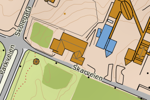
1866 Hadsel | 17f42324-b9fd-426d-8e70-cebed1cc73d5 | 510.42 | N: 7604490.12, Ø: 499595.29 | ![Kartbilde fra WMS-tjeneste av avviket](https://wms.geonorge.no/skwms1/wms.topo?VERSION=1.1.1&SERVICE=WMS&REQUEST=GetMap&LAYERS=topo&STYLES=&FORMAT=image/png&SRS=EPSG:25833&BBOX=499520.0,7604440,499670.0,7604540&WIDTH=300&HEIGHT=200) |
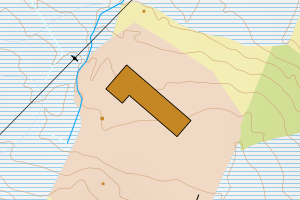
1866 Hadsel | 4d51d539-f7da-4825-914b-32a580d8ae82 | 492.72 | N: 7606748.99, Ø: 498082.17 | ![Kartbilde fra WMS-tjeneste av avviket](https://wms.geonorge.no/skwms1/wms.topo?VERSION=1.1.1&SERVICE=WMS&REQUEST=GetMap&LAYERS=topo&STYLES=&FORMAT=image/png&SRS=EPSG:25833&BBOX=498007.0,7606698,498157.0,7606798&WIDTH=300&HEIGHT=200) |
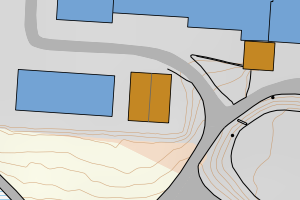
1866 Hadsel | 9b12b678-9abc-45e2-8de2-d6cc3e95a326 | 491.03 | N: 7606298.45, Ø: 485034.52 | ![Kartbilde fra WMS-tjeneste av avviket](https://wms.geonorge.no/skwms1/wms.topo?VERSION=1.1.1&SERVICE=WMS&REQUEST=GetMap&LAYERS=topo&STYLES=&FORMAT=image/png&SRS=EPSG:25833&BBOX=484959.0,7606248,485109.0,7606348&WIDTH=300&HEIGHT=200) |
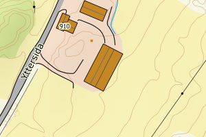
1866 Hadsel | 12a2b826-7a4b-4e2b-8da9-9e8e374a0799 | 485.71 | N: 7613998.17, Ø: 492553.26 | ![Kartbilde fra WMS-tjeneste av avviket](https://wms.geonorge.no/skwms1/wms.topo?VERSION=1.1.1&SERVICE=WMS&REQUEST=GetMap&LAYERS=topo&STYLES=&FORMAT=image/png&SRS=EPSG:25833&BBOX=492478.0,7613948,492628.0,7614048&WIDTH=300&HEIGHT=200) |
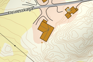
1866 Hadsel | bc31d6f1-d544-42ad-8b90-fbc3fbe05799 | 461.04 | N: 7598648.92, Ø: 491952.87 | ![Kartbilde fra WMS-tjeneste av avviket](https://wms.geonorge.no/skwms1/wms.topo?VERSION=1.1.1&SERVICE=WMS&REQUEST=GetMap&LAYERS=topo&STYLES=&FORMAT=image/png&SRS=EPSG:25833&BBOX=491877.0,7598598,492027.0,7598698&WIDTH=300&HEIGHT=200) |
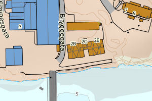
1866 Hadsel | b1ebf5c4-d10f-421c-8f70-d2fb63aa3128 | 449.37 | N: 7608518.51, Ø: 497559.68 | ![Kartbilde fra WMS-tjeneste av avviket](https://wms.geonorge.no/skwms1/wms.topo?VERSION=1.1.1&SERVICE=WMS&REQUEST=GetMap&LAYERS=topo&STYLES=&FORMAT=image/png&SRS=EPSG:25833&BBOX=497484.0,7608468,497634.0,7608568&WIDTH=300&HEIGHT=200) |
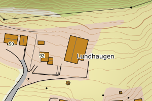
1866 Hadsel | 11db2c84-adb3-499b-84d5-9e07690bd3f4 | 401.65 | N: 7596725.36, Ø: 505829.27 | ![Kartbilde fra WMS-tjeneste av avviket](https://wms.geonorge.no/skwms1/wms.topo?VERSION=1.1.1&SERVICE=WMS&REQUEST=GetMap&LAYERS=topo&STYLES=&FORMAT=image/png&SRS=EPSG:25833&BBOX=505754.0,7596675,505904.0,7596775&WIDTH=300&HEIGHT=200) |
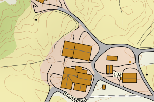
1866 Hadsel | 4a011b84-8abe-4056-8f10-b913b63f68b3 | 373.18 | N: 7599339.17, Ø: 494736.68 | ![Kartbilde fra WMS-tjeneste av avviket](https://wms.geonorge.no/skwms1/wms.topo?VERSION=1.1.1&SERVICE=WMS&REQUEST=GetMap&LAYERS=topo&STYLES=&FORMAT=image/png&SRS=EPSG:25833&BBOX=494661.0,7599289,494811.0,7599389&WIDTH=300&HEIGHT=200) |
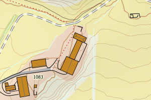
1866 Hadsel | 00fb0809-c9c3-4209-8742-397dd75189ca | 361.77 | N: 7605955.65, Ø: 496217.72 | ![Kartbilde fra WMS-tjeneste av avviket](https://wms.geonorge.no/skwms1/wms.topo?VERSION=1.1.1&SERVICE=WMS&REQUEST=GetMap&LAYERS=topo&STYLES=&FORMAT=image/png&SRS=EPSG:25833&BBOX=496142.0,7605905,496292.0,7606005&WIDTH=300&HEIGHT=200) |
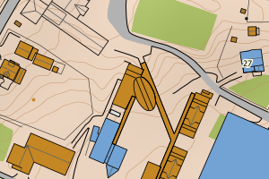
1866 Hadsel | a8906951-0a0e-4788-b9d0-188099e562c0 | 358.95 | N: 7591326.53, Ø: 492297.50 | ![Kartbilde fra WMS-tjeneste av avviket](https://wms.geonorge.no/skwms1/wms.topo?VERSION=1.1.1&SERVICE=WMS&REQUEST=GetMap&LAYERS=topo&STYLES=&FORMAT=image/png&SRS=EPSG:25833&BBOX=492222.0,7591276,492372.0,7591376&WIDTH=300&HEIGHT=200) |
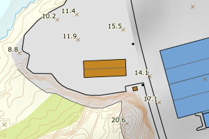
1866 Hadsel | 74c2f8c9-c3a4-405a-a672-317cef7ff49b | 356.42 | N: 7606437.04, Ø: 498325.96 | ![Kartbilde fra WMS-tjeneste av avviket](https://wms.geonorge.no/skwms1/wms.topo?VERSION=1.1.1&SERVICE=WMS&REQUEST=GetMap&LAYERS=topo&STYLES=&FORMAT=image/png&SRS=EPSG:25833&BBOX=498250.0,7606387,498400.0,7606487&WIDTH=300&HEIGHT=200) |
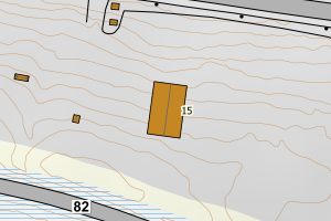
1866 Hadsel | 748931f4-f09f-4aad-96e8-f8069247a6ef | 334.62 | N: 7605473.85, Ø: 509026.52 | ![Kartbilde fra WMS-tjeneste av avviket](https://wms.geonorge.no/skwms1/wms.topo?VERSION=1.1.1&SERVICE=WMS&REQUEST=GetMap&LAYERS=topo&STYLES=&FORMAT=image/png&SRS=EPSG:25833&BBOX=508951.0,7605423,509101.0,7605523&WIDTH=300&HEIGHT=200) |
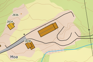
1866 Hadsel | 7c839946-2a90-4165-b2db-a2b0b5be1e76 | 318.87 | N: 7587310.75, Ø: 505470.84 | ![Kartbilde fra WMS-tjeneste av avviket](https://wms.geonorge.no/skwms1/wms.topo?VERSION=1.1.1&SERVICE=WMS&REQUEST=GetMap&LAYERS=topo&STYLES=&FORMAT=image/png&SRS=EPSG:25833&BBOX=505395.0,7587260,505545.0,7587360&WIDTH=300&HEIGHT=200) |
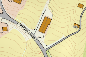
1866 Hadsel | 08e8d6ab-290b-4e4e-8ead-b0ba8ab28ff7 | 309.77 | N: 7603528.81, Ø: 494647.90 | ![Kartbilde fra WMS-tjeneste av avviket](https://wms.geonorge.no/skwms1/wms.topo?VERSION=1.1.1&SERVICE=WMS&REQUEST=GetMap&LAYERS=topo&STYLES=&FORMAT=image/png&SRS=EPSG:25833&BBOX=494572.0,7603478,494722.0,7603578&WIDTH=300&HEIGHT=200) |
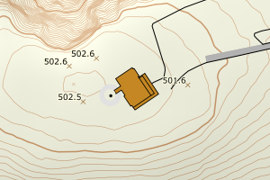
1866 Hadsel | c220f000-31ef-40ef-bdc2-e2eb2233d63d | 290.31 | N: 7599420.99, Ø: 488731.63 | ![Kartbilde fra WMS-tjeneste av avviket](https://wms.geonorge.no/skwms1/wms.topo?VERSION=1.1.1&SERVICE=WMS&REQUEST=GetMap&LAYERS=topo&STYLES=&FORMAT=image/png&SRS=EPSG:25833&BBOX=488656.0,7599370,488806.0,7599470&WIDTH=300&HEIGHT=200) |
1866 Hadsel | 68631f67-a3b3-4620-89ec-dd28d062c3c7 | 287.43 | N: 7600010.14, Ø: 491934.20 | ![Kartbilde fra WMS-tjeneste av avviket](https://wms.geonorge.no/skwms1/wms.topo?VERSION=1.1.1&SERVICE=WMS&REQUEST=GetMap&LAYERS=topo&STYLES=&FORMAT=image/png&SRS=EPSG:25833&BBOX=491859.0,7599960,492009.0,7600060&WIDTH=300&HEIGHT=200) |
1866 Hadsel | e8348d08-e30b-4b1b-9a61-357765153a79 | 285.91 | N: 7605176.57, Ø: 498246.79 | ![Kartbilde fra WMS-tjeneste av avviket](https://wms.geonorge.no/skwms1/wms.topo?VERSION=1.1.1&SERVICE=WMS&REQUEST=GetMap&LAYERS=topo&STYLES=&FORMAT=image/png&SRS=EPSG:25833&BBOX=498171.0,7605126,498321.0,7605226&WIDTH=300&HEIGHT=200) |
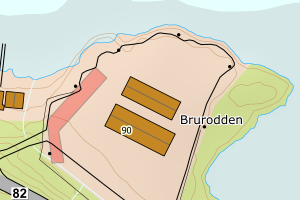
1866 Hadsel | 257df2ad-9467-4950-826c-a405c1bf62f9 | 279.28 | N: 7595544.02, Ø: 507438.71 | ![Kartbilde fra WMS-tjeneste av avviket](https://wms.geonorge.no/skwms1/wms.topo?VERSION=1.1.1&SERVICE=WMS&REQUEST=GetMap&LAYERS=topo&STYLES=&FORMAT=image/png&SRS=EPSG:25833&BBOX=507363.0,7595494,507513.0,7595594&WIDTH=300&HEIGHT=200) |
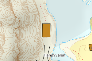
1866 Hadsel | 1e010a57-f4d3-4a0b-be86-a8672175ea7c | 276.07 | N: 7605718.47, Ø: 495847.67 | ![Kartbilde fra WMS-tjeneste av avviket](https://wms.geonorge.no/skwms1/wms.topo?VERSION=1.1.1&SERVICE=WMS&REQUEST=GetMap&LAYERS=topo&STYLES=&FORMAT=image/png&SRS=EPSG:25833&BBOX=495772.0,7605668,495922.0,7605768&WIDTH=300&HEIGHT=200) |
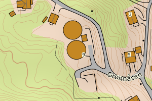
1866 Hadsel | 1d5801e6-8cc7-4d06-9dce-0fde753d1d39 | 270.43 | N: 7605738.19, Ø: 495843.96 | ![Kartbilde fra WMS-tjeneste av avviket](https://wms.geonorge.no/skwms1/wms.topo?VERSION=1.1.1&SERVICE=WMS&REQUEST=GetMap&LAYERS=topo&STYLES=&FORMAT=image/png&SRS=EPSG:25833&BBOX=495768.0,7605688,495918.0,7605788&WIDTH=300&HEIGHT=200) |
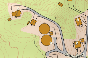
1866 Hadsel | 41af95ac-eedf-458d-a3c5-358bae0c496f | 270.00 | N: 7587193.03, Ø: 505768.60 | ![Kartbilde fra WMS-tjeneste av avviket](https://wms.geonorge.no/skwms1/wms.topo?VERSION=1.1.1&SERVICE=WMS&REQUEST=GetMap&LAYERS=topo&STYLES=&FORMAT=image/png&SRS=EPSG:25833&BBOX=505693.0,7587143,505843.0,7587243&WIDTH=300&HEIGHT=200) |
1866 Hadsel | d985b579-cd07-4405-b54e-b1a231675198 | 264.69 | N: 7606055.93, Ø: 497320.84 | ![Kartbilde fra WMS-tjeneste av avviket](https://wms.geonorge.no/skwms1/wms.topo?VERSION=1.1.1&SERVICE=WMS&REQUEST=GetMap&LAYERS=topo&STYLES=&FORMAT=image/png&SRS=EPSG:25833&BBOX=497245.0,7606005,497395.0,7606105&WIDTH=300&HEIGHT=200) |
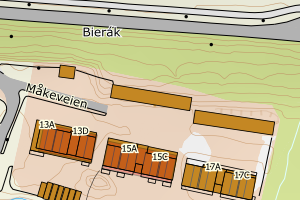
1866 Hadsel | fbdde215-f2be-4546-bb4a-2e60c4aba68c | 258.49 | N: 7609121.92, Ø: 502551.07 | ![Kartbilde fra WMS-tjeneste av avviket](https://wms.geonorge.no/skwms1/wms.topo?VERSION=1.1.1&SERVICE=WMS&REQUEST=GetMap&LAYERS=topo&STYLES=&FORMAT=image/png&SRS=EPSG:25833&BBOX=502476.0,7609071,502626.0,7609171&WIDTH=300&HEIGHT=200) |
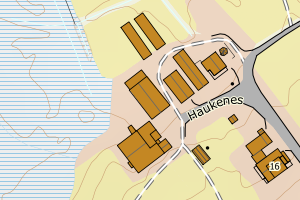
1866 Hadsel | 6fecb71f-77e0-4a8a-9d4d-dfc3b55baf6b | 255.31 | N: 7606616.94, Ø: 496834.69 | ![Kartbilde fra WMS-tjeneste av avviket](https://wms.geonorge.no/skwms1/wms.topo?VERSION=1.1.1&SERVICE=WMS&REQUEST=GetMap&LAYERS=topo&STYLES=&FORMAT=image/png&SRS=EPSG:25833&BBOX=496759.0,7606566,496909.0,7606666&WIDTH=300&HEIGHT=200) |
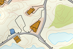
1866 Hadsel | e0710bb7-66d4-49cb-a1fa-c9aeaa22a293 | 254.82 | N: 7612564.81, Ø: 507437.42 | ![Kartbilde fra WMS-tjeneste av avviket](https://wms.geonorge.no/skwms1/wms.topo?VERSION=1.1.1&SERVICE=WMS&REQUEST=GetMap&LAYERS=topo&STYLES=&FORMAT=image/png&SRS=EPSG:25833&BBOX=507362.0,7612514,507512.0,7612614&WIDTH=300&HEIGHT=200) |
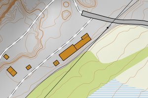
1866 Hadsel | 3f6462cb-4360-4f63-af07-bee8baaebbcd | 253.52 | N: 7601718.33, Ø: 498185.95 | ![Kartbilde fra WMS-tjeneste av avviket](https://wms.geonorge.no/skwms1/wms.topo?VERSION=1.1.1&SERVICE=WMS&REQUEST=GetMap&LAYERS=topo&STYLES=&FORMAT=image/png&SRS=EPSG:25833&BBOX=498110.0,7601668,498260.0,7601768&WIDTH=300&HEIGHT=200) |
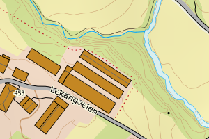
1866 Hadsel | 7a0a9439-e777-4a38-8226-ef621823f21f | 251.50 | N: 7598670.44, Ø: 491959.23 | ![Kartbilde fra WMS-tjeneste av avviket](https://wms.geonorge.no/skwms1/wms.topo?VERSION=1.1.1&SERVICE=WMS&REQUEST=GetMap&LAYERS=topo&STYLES=&FORMAT=image/png&SRS=EPSG:25833&BBOX=491884.0,7598620,492034.0,7598720&WIDTH=300&HEIGHT=200) |
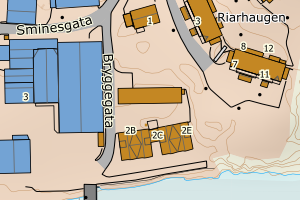
1866 Hadsel | c6e6925b-9acf-425b-be85-47567236c737 | 234.04 | N: 7606278.51, Ø: 496806.99 | ![Kartbilde fra WMS-tjeneste av avviket](https://wms.geonorge.no/skwms1/wms.topo?VERSION=1.1.1&SERVICE=WMS&REQUEST=GetMap&LAYERS=topo&STYLES=&FORMAT=image/png&SRS=EPSG:25833&BBOX=496731.0,7606228,496881.0,7606328&WIDTH=300&HEIGHT=200) |
1866 Hadsel | e2ae0b15-c9b2-4a47-9c12-69c0bb9e5b3b | 232.70 | N: 7600101.93, Ø: 491911.56 | ![Kartbilde fra WMS-tjeneste av avviket](https://wms.geonorge.no/skwms1/wms.topo?VERSION=1.1.1&SERVICE=WMS&REQUEST=GetMap&LAYERS=topo&STYLES=&FORMAT=image/png&SRS=EPSG:25833&BBOX=491836.0,7600051,491986.0,7600151&WIDTH=300&HEIGHT=200) |
1866 Hadsel | 1148ad5e-790c-4183-859a-cb7f9a431bd8 | 231.71 | N: 7591097.17, Ø: 484228.90 | ![Kartbilde fra WMS-tjeneste av avviket](https://wms.geonorge.no/skwms1/wms.topo?VERSION=1.1.1&SERVICE=WMS&REQUEST=GetMap&LAYERS=topo&STYLES=&FORMAT=image/png&SRS=EPSG:25833&BBOX=484153.0,7591047,484303.0,7591147&WIDTH=300&HEIGHT=200) |
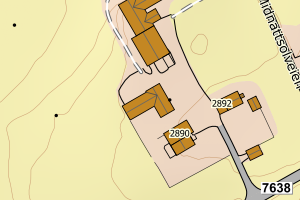
1866 Hadsel | ee968fc3-b1ee-4682-8fd4-7956ad10213c | 230.00 | N: 7606165.98, Ø: 494701.86 | ![Kartbilde fra WMS-tjeneste av avviket](https://wms.geonorge.no/skwms1/wms.topo?VERSION=1.1.1&SERVICE=WMS&REQUEST=GetMap&LAYERS=topo&STYLES=&FORMAT=image/png&SRS=EPSG:25833&BBOX=494626.0,7606115,494776.0,7606215&WIDTH=300&HEIGHT=200) |
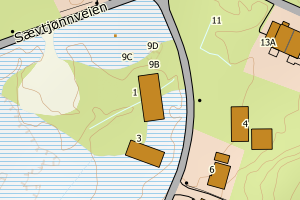
1866 Hadsel | 2ccc04b1-7193-4f3d-8fd1-441c30a999a8 | 228.85 | N: 7606835.43, Ø: 497758.79 | ![Kartbilde fra WMS-tjeneste av avviket](https://wms.geonorge.no/skwms1/wms.topo?VERSION=1.1.1&SERVICE=WMS&REQUEST=GetMap&LAYERS=topo&STYLES=&FORMAT=image/png&SRS=EPSG:25833&BBOX=497683.0,7606785,497833.0,7606885&WIDTH=300&HEIGHT=200) |
1866 Hadsel | 173046a0-737e-4bc5-8b42-3ffeefa46f3e | 228.11 | N: 7605940.30, Ø: 496250.76 | ![Kartbilde fra WMS-tjeneste av avviket](https://wms.geonorge.no/skwms1/wms.topo?VERSION=1.1.1&SERVICE=WMS&REQUEST=GetMap&LAYERS=topo&STYLES=&FORMAT=image/png&SRS=EPSG:25833&BBOX=496175.0,7605890,496325.0,7605990&WIDTH=300&HEIGHT=200) |
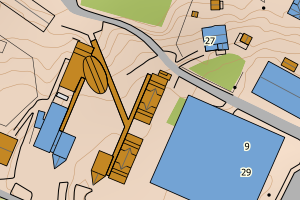
1866 Hadsel | 2b1cf8d3-4185-45bf-a2e6-9e73586fb724 | 227.19 | N: 7606666.09, Ø: 496764.21 | ![Kartbilde fra WMS-tjeneste av avviket](https://wms.geonorge.no/skwms1/wms.topo?VERSION=1.1.1&SERVICE=WMS&REQUEST=GetMap&LAYERS=topo&STYLES=&FORMAT=image/png&SRS=EPSG:25833&BBOX=496689.0,7606616,496839.0,7606716&WIDTH=300&HEIGHT=200) |
1866 Hadsel | 8ce21214-2ad7-4032-a284-0fcb591a4b5a | 224.57 | N: 7606467.74, Ø: 498126.25 | ![Kartbilde fra WMS-tjeneste av avviket](https://wms.geonorge.no/skwms1/wms.topo?VERSION=1.1.1&SERVICE=WMS&REQUEST=GetMap&LAYERS=topo&STYLES=&FORMAT=image/png&SRS=EPSG:25833&BBOX=498051.0,7606417,498201.0,7606517&WIDTH=300&HEIGHT=200) |
1866 Hadsel | bdaa8b50-bef0-49a8-a274-dd555e66e4ec | 218.36 | N: 7607490.35, Ø: 501161.30 | ![Kartbilde fra WMS-tjeneste av avviket](https://wms.geonorge.no/skwms1/wms.topo?VERSION=1.1.1&SERVICE=WMS&REQUEST=GetMap&LAYERS=topo&STYLES=&FORMAT=image/png&SRS=EPSG:25833&BBOX=501086.0,7607440,501236.0,7607540&WIDTH=300&HEIGHT=200) |
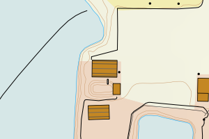
1866 Hadsel | 34301d18-75d5-48cf-9d2e-8ca017685af4 | 217.12 | N: 7602483.36, Ø: 508188.55 | ![Kartbilde fra WMS-tjeneste av avviket](https://wms.geonorge.no/skwms1/wms.topo?VERSION=1.1.1&SERVICE=WMS&REQUEST=GetMap&LAYERS=topo&STYLES=&FORMAT=image/png&SRS=EPSG:25833&BBOX=508113.0,7602433,508263.0,7602533&WIDTH=300&HEIGHT=200) |
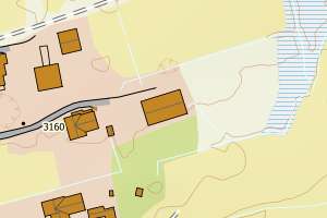
1866 Hadsel | df7c540f-f156-453f-8dd0-d38d57ad59c8 | 215.70 | N: 7599087.14, Ø: 493372.82 | ![Kartbilde fra WMS-tjeneste av avviket](https://wms.geonorge.no/skwms1/wms.topo?VERSION=1.1.1&SERVICE=WMS&REQUEST=GetMap&LAYERS=topo&STYLES=&FORMAT=image/png&SRS=EPSG:25833&BBOX=493297.0,7599037,493447.0,7599137&WIDTH=300&HEIGHT=200) |
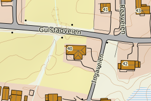
1866 Hadsel | f72bf853-1fa0-4b3e-b4e1-324dfbf3e35d | 214.36 | N: 7591243.74, Ø: 489560.55 | ![Kartbilde fra WMS-tjeneste av avviket](https://wms.geonorge.no/skwms1/wms.topo?VERSION=1.1.1&SERVICE=WMS&REQUEST=GetMap&LAYERS=topo&STYLES=&FORMAT=image/png&SRS=EPSG:25833&BBOX=489485.0,7591193,489635.0,7591293&WIDTH=300&HEIGHT=200) |
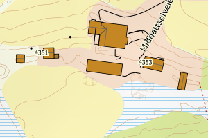
1866 Hadsel | 837c3619-b4a5-4d39-83d1-21b6454a7c64 | 213.34 | N: 7606683.14, Ø: 496777.94 | ![Kartbilde fra WMS-tjeneste av avviket](https://wms.geonorge.no/skwms1/wms.topo?VERSION=1.1.1&SERVICE=WMS&REQUEST=GetMap&LAYERS=topo&STYLES=&FORMAT=image/png&SRS=EPSG:25833&BBOX=496702.0,7606633,496852.0,7606733&WIDTH=300&HEIGHT=200) |
1866 Hadsel | 507b59b3-0f4a-41d4-b7c5-d83daed7d942 | 212.68 | N: 7609784.54, Ø: 501597.38 | ![Kartbilde fra WMS-tjeneste av avviket](https://wms.geonorge.no/skwms1/wms.topo?VERSION=1.1.1&SERVICE=WMS&REQUEST=GetMap&LAYERS=topo&STYLES=&FORMAT=image/png&SRS=EPSG:25833&BBOX=501522.0,7609734,501672.0,7609834&WIDTH=300&HEIGHT=200) |
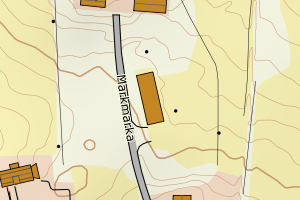
1866 Hadsel | 469de08e-09ea-48c1-a6c6-4df0b2ab39be | 211.98 | N: 7606769.82, Ø: 498136.76 | ![Kartbilde fra WMS-tjeneste av avviket](https://wms.geonorge.no/skwms1/wms.topo?VERSION=1.1.1&SERVICE=WMS&REQUEST=GetMap&LAYERS=topo&STYLES=&FORMAT=image/png&SRS=EPSG:25833&BBOX=498061.0,7606719,498211.0,7606819&WIDTH=300&HEIGHT=200) |
1866 Hadsel | 54927122-fe60-4595-bbc0-04c94a525b2a | 208.13 | N: 7605910.45, Ø: 496238.06 | ![Kartbilde fra WMS-tjeneste av avviket](https://wms.geonorge.no/skwms1/wms.topo?VERSION=1.1.1&SERVICE=WMS&REQUEST=GetMap&LAYERS=topo&STYLES=&FORMAT=image/png&SRS=EPSG:25833&BBOX=496163.0,7605860,496313.0,7605960&WIDTH=300&HEIGHT=200) |
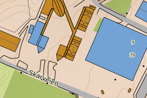
1866 Hadsel | d1960abf-e9a7-4049-91f5-42f6c1b0ee44 | 207.53 | N: 7606000.39, Ø: 497681.68 | ![Kartbilde fra WMS-tjeneste av avviket](https://wms.geonorge.no/skwms1/wms.topo?VERSION=1.1.1&SERVICE=WMS&REQUEST=GetMap&LAYERS=topo&STYLES=&FORMAT=image/png&SRS=EPSG:25833&BBOX=497606.0,7605950,497756.0,7606050&WIDTH=300&HEIGHT=200) |
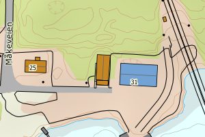
1866 Hadsel | 249886fc-b701-4de7-814c-8d2fc53fe0b1 | 205.63 | N: 7606508.80, Ø: 498075.44 | ![Kartbilde fra WMS-tjeneste av avviket](https://wms.geonorge.no/skwms1/wms.topo?VERSION=1.1.1&SERVICE=WMS&REQUEST=GetMap&LAYERS=topo&STYLES=&FORMAT=image/png&SRS=EPSG:25833&BBOX=498000.0,7606458,498150.0,7606558&WIDTH=300&HEIGHT=200) |
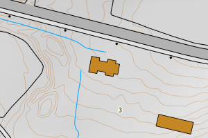
1866 Hadsel | e6a6fb2d-054d-4196-9a63-f82f0f810d7e | 203.19 | N: 7611322.07, Ø: 506558.50 | ![Kartbilde fra WMS-tjeneste av avviket](https://wms.geonorge.no/skwms1/wms.topo?VERSION=1.1.1&SERVICE=WMS&REQUEST=GetMap&LAYERS=topo&STYLES=&FORMAT=image/png&SRS=EPSG:25833&BBOX=506483.0,7611272,506633.0,7611372&WIDTH=300&HEIGHT=200) |