Avvikene kan skyldes enten feil bygningskoordinat eller bygningstype/status i matrikkel eller feil arealtype i AR5. Vær oppmerksom på det er krav om arealer på over 200 m2 før det er krav om endring av arealtype i AR5 så avvikene vil ikke alltid kreve retting i datagrunnlaget. Matrikkel_vedtaksdato angir når bygning er lagt inn i Matrikkelen. Hvis du tidligere har sjekket alle påviste tilfeller, kan du nå se på de som har dato etter siste gjennomgang og rette disse. Det kan i noen tilfeller stå «Ingen vedtaksdato» som betyr at det ikke finnes vedtaksdato i matrikkelen. Dette er ofte gamle registreringer f.eks Mabygg. Mulig byggstat i matrikkelen må endres(revet/brent)
| Kommune | LokalId | Bygningsnummer | Arealtype | Bygningstatus | Bygningstype | matrikkel_vedtaksdato | matrikkel_registreringsdato | Posisjon | WMS-bilde |
|---|
| 1851 Lødingen | 9b7f5d11-68db-4945-adff-0acf8af9e8cb | 300860343 | 21 | FA | 182 | 2024-02-15 | 2024-02-15 | N: 7582626.30, Ø: 518373.90 | 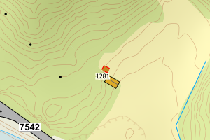 |
| 1851 Lødingen | bfabf644-d20d-4d3f-9589-89556b6a4832 | 300851233 | 21 | FA | 161 | 2022-06-08 | 2022-06-08 | N: 7586082.20, Ø: 535822.70 | 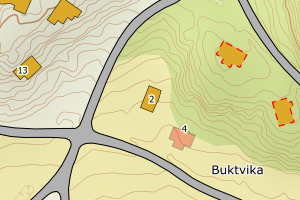 |
| 1851 Lødingen | 305d9ce5-bbd0-4e75-8115-109ae2df6690 | 300851679 | 21 | FA | 161 | 2020-06-02 | 2021-02-12 | N: 7585802.30, Ø: 536047.90 | 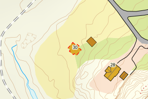 |
| 1851 Lødingen | 6658a5ac-d63d-452b-89b9-67998a5135e5 | 189289464 | 21 | TB | 241 | Ingen vedtaksdato | 2007-12-14 | N: 7578110.00, Ø: 525573.00 | 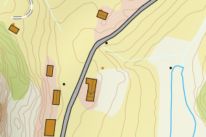 |
| 1851 Lødingen | 6fd28fee-f59c-4052-8043-6c703136aad7 | 140758868 | 21 | TB | 241 | Ingen vedtaksdato | 2007-12-14 | N: 7593434.00, Ø: 541598.00 | 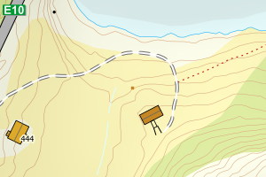 |
| 1851 Lødingen | 7df8b55b-3156-4cd4-b767-5f01de92795d | 189272677 | 21 | TB | 239 | Ingen vedtaksdato | 2007-12-14 | N: 7586798.00, Ø: 535751.00 | 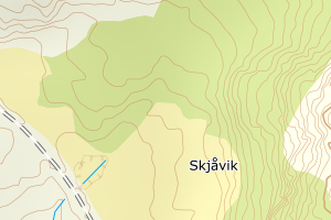 |
| 1851 Lødingen | 7f302ac7-a1fc-487b-88d3-5ebc61bf6c12 | 140758965 | 21 | TB | 241 | Ingen vedtaksdato | 2007-12-14 | N: 7595749.00, Ø: 543672.00 | 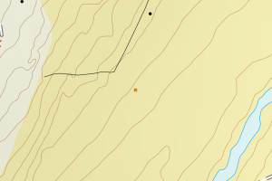 |
| 1851 Lødingen | 86049289-9db7-45db-9649-fb406b0dc4eb | 189289448 | 21 | TB | 241 | Ingen vedtaksdato | 2007-12-14 | N: 7578496.00, Ø: 525851.00 | 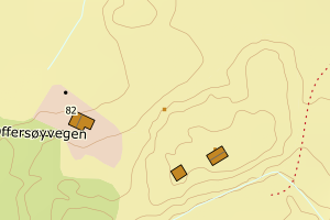 |
| 1851 Lødingen | 94a1ce83-d805-4413-82b5-d13dd0071e13 | 189285353 | 21 | TB | 183 | Ingen vedtaksdato | 2007-12-14 | N: 7595783.00, Ø: 543929.00 | 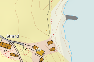 |
| 1851 Lødingen | 5838bbbc-86f7-4135-9642-5a2db5ed0c5b | 189268688 | 21 | TB | 163 | Ingen vedtaksdato | 2007-12-14 | N: 7578734.00, Ø: 526730.00 | 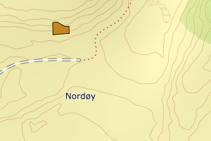 |
| 1851 Lødingen | 97e6ba48-d6be-4d3a-9fc9-8ec07562e5d1 | 189290071 | 21 | TB | 249 | Ingen vedtaksdato | 2007-12-14 | N: 7577773.00, Ø: 526773.00 | 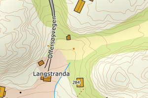 |
| 1851 Lødingen | 752b3c06-9aa6-4b46-b5e0-9012ed65a392 | 189275072 | 21 | TB | 181 | Ingen vedtaksdato | 2007-12-14 | N: 7595071.70, Ø: 536762.30 | 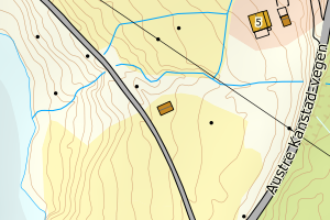 |
| 1851 Lødingen | efecba76-ecc2-4d83-81c4-d76b4b0408cd | 189272472 | 21 | TB | 172 | Ingen vedtaksdato | 2007-12-14 | N: 7588039.00, Ø: 536144.00 | 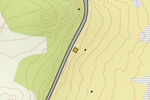 |