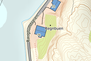
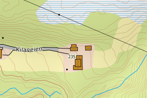
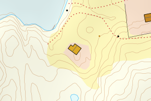
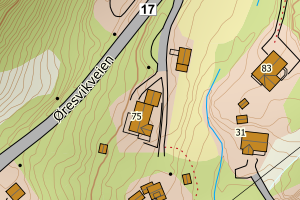
Avvikene skyldes enten feilregistrering i matrikkel eller manglende bygningsdelelinje i FKB-Bygning. Rettes i matrikkelen eller FKB-Bygning
Kommune | LokalId | Bygningsnummer (punkt) | Bygningsnummer (flate) | Posisjon | WMS-bilde |
1836 Rødøy | fc62f506-4f45-4094-ac22-c29e7ce6d336 | 300289854 | 300289864 | N: 7388023.52, Ø: 411741.42 | ![Kartbilde fra WMS-tjeneste av avviket](https://wms.geonorge.no/skwms1/wms.topo?VERSION=1.1.1&SERVICE=WMS&REQUEST=GetMap&LAYERS=topo&STYLES=&FORMAT=image/png&SRS=EPSG:25833&BBOX=411666.0,7387973,411816.0,7388073&WIDTH=300&HEIGHT=200) |
1836 Rødøy | 1fe94039-3c4d-4e51-a174-ccb382fce48b | 301265989 | 188520111 | N: 7372412.00, Ø: 420836.00 | ![Kartbilde fra WMS-tjeneste av avviket](https://wms.geonorge.no/skwms1/wms.topo?VERSION=1.1.1&SERVICE=WMS&REQUEST=GetMap&LAYERS=topo&STYLES=&FORMAT=image/png&SRS=EPSG:25833&BBOX=420760.0,7372361,420910.0,7372461&WIDTH=300&HEIGHT=200) |
1836 Rødøy | eee8ff14-8d0c-4c2c-be6d-809c66fd7169 | 301370857 | 188523250 | N: 7387732.58, Ø: 422327.74 | ![Kartbilde fra WMS-tjeneste av avviket](https://wms.geonorge.no/skwms1/wms.topo?VERSION=1.1.1&SERVICE=WMS&REQUEST=GetMap&LAYERS=topo&STYLES=&FORMAT=image/png&SRS=EPSG:25833&BBOX=422252.0,7387682,422402.0,7387782&WIDTH=300&HEIGHT=200) |
1836 Rødøy | d67cd6b4-3e26-4e95-a0c7-3858db11e6b3 | 188534635 | 16328596 | N: 7377672.00, Ø: 441109.00 | ![Kartbilde fra WMS-tjeneste av avviket](https://wms.geonorge.no/skwms1/wms.topo?VERSION=1.1.1&SERVICE=WMS&REQUEST=GetMap&LAYERS=topo&STYLES=&FORMAT=image/png&SRS=EPSG:25833&BBOX=441034.0,7377622,441184.0,7377722&WIDTH=300&HEIGHT=200) |
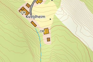
1836 Rødøy | bbcd773d-60a1-413a-b0c9-b2c87d27f45b | 11175589 | 188535445 | N: 7384398.98, Ø: 404682.82 | ![Kartbilde fra WMS-tjeneste av avviket](https://wms.geonorge.no/skwms1/wms.topo?VERSION=1.1.1&SERVICE=WMS&REQUEST=GetMap&LAYERS=topo&STYLES=&FORMAT=image/png&SRS=EPSG:25833&BBOX=404607.0,7384348,404757.0,7384448&WIDTH=300&HEIGHT=200) |
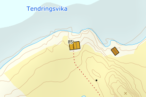
1836 Rødøy | e74a757d-5df7-475c-9d9a-74afc156d0eb | 188513697 | 188513581 | N: 7384628.00, Ø: 411291.00 | ![Kartbilde fra WMS-tjeneste av avviket](https://wms.geonorge.no/skwms1/wms.topo?VERSION=1.1.1&SERVICE=WMS&REQUEST=GetMap&LAYERS=topo&STYLES=&FORMAT=image/png&SRS=EPSG:25833&BBOX=411216.0,7384578,411366.0,7384678&WIDTH=300&HEIGHT=200) |