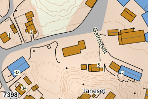
Avvikene skyldes oftest manglende eller unøyaktig registrering av bygningspunkt i matrikkelen. Rettes vanligvis i matrikkelen
Kommune | LokalId | Areal (m2) | Posisjon | WMS-bilde |
1835 Træna | d9e1ed39-0f46-48bf-b5ee-906abbdac0fd | 1673.61 | N: 7379105.75, Ø: 371190.98 | ![Kartbilde fra WMS-tjeneste av avviket](https://wms.geonorge.no/skwms1/wms.topo?VERSION=1.1.1&SERVICE=WMS&REQUEST=GetMap&LAYERS=topo&STYLES=&FORMAT=image/png&SRS=EPSG:25833&BBOX=371115.0,7379055,371265.0,7379155&WIDTH=300&HEIGHT=200) |
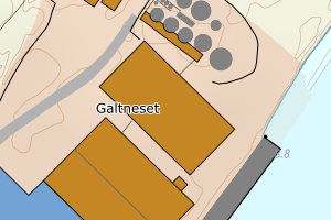
1835 Træna | 6cba81ce-24f0-4722-a6f4-e0c119e4b857 | 552.57 | N: 7378857.68, Ø: 368489.97 | ![Kartbilde fra WMS-tjeneste av avviket](https://wms.geonorge.no/skwms1/wms.topo?VERSION=1.1.1&SERVICE=WMS&REQUEST=GetMap&LAYERS=topo&STYLES=&FORMAT=image/png&SRS=EPSG:25833&BBOX=368414.0,7378807,368564.0,7378907&WIDTH=300&HEIGHT=200) |
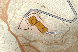
1835 Træna | fdbc173d-9df8-4abf-b868-88efcf549b30 | 358.06 | N: 7378053.87, Ø: 370361.70 | ![Kartbilde fra WMS-tjeneste av avviket](https://wms.geonorge.no/skwms1/wms.topo?VERSION=1.1.1&SERVICE=WMS&REQUEST=GetMap&LAYERS=topo&STYLES=&FORMAT=image/png&SRS=EPSG:25833&BBOX=370286.0,7378003,370436.0,7378103&WIDTH=300&HEIGHT=200) |
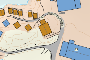
1835 Træna | 2e883e80-cde0-4d00-9116-8f03ac33a7ba | 293.10 | N: 7371212.54, Ø: 364773.19 | ![Kartbilde fra WMS-tjeneste av avviket](https://wms.geonorge.no/skwms1/wms.topo?VERSION=1.1.1&SERVICE=WMS&REQUEST=GetMap&LAYERS=topo&STYLES=&FORMAT=image/png&SRS=EPSG:25833&BBOX=364698.0,7371162,364848.0,7371262&WIDTH=300&HEIGHT=200) |
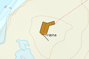
1835 Træna | 775beb9e-af48-4fa6-864b-36ca367f7b2f | 263.95 | N: 7379163.88, Ø: 371172.20 | ![Kartbilde fra WMS-tjeneste av avviket](https://wms.geonorge.no/skwms1/wms.topo?VERSION=1.1.1&SERVICE=WMS&REQUEST=GetMap&LAYERS=topo&STYLES=&FORMAT=image/png&SRS=EPSG:25833&BBOX=371097.0,7379113,371247.0,7379213&WIDTH=300&HEIGHT=200) |
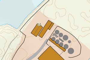
1835 Træna | ba23f21e-81ce-4c5e-95e1-d4a04161ed13 | 246.12 | N: 7379257.37, Ø: 370838.30 | ![Kartbilde fra WMS-tjeneste av avviket](https://wms.geonorge.no/skwms1/wms.topo?VERSION=1.1.1&SERVICE=WMS&REQUEST=GetMap&LAYERS=topo&STYLES=&FORMAT=image/png&SRS=EPSG:25833&BBOX=370763.0,7379207,370913.0,7379307&WIDTH=300&HEIGHT=200) |
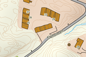
1835 Træna | f03a8a0a-6dc8-42f4-bbdb-d07c925f266f | 230.23 | N: 7378263.89, Ø: 370442.96 | ![Kartbilde fra WMS-tjeneste av avviket](https://wms.geonorge.no/skwms1/wms.topo?VERSION=1.1.1&SERVICE=WMS&REQUEST=GetMap&LAYERS=topo&STYLES=&FORMAT=image/png&SRS=EPSG:25833&BBOX=370367.0,7378213,370517.0,7378313&WIDTH=300&HEIGHT=200) |
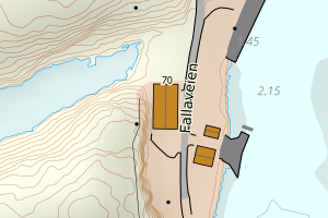
1835 Træna | 0af7df35-18a7-4566-9652-7158fe0bb455 | 228.91 | N: 7378138.63, Ø: 370219.16 | ![Kartbilde fra WMS-tjeneste av avviket](https://wms.geonorge.no/skwms1/wms.topo?VERSION=1.1.1&SERVICE=WMS&REQUEST=GetMap&LAYERS=topo&STYLES=&FORMAT=image/png&SRS=EPSG:25833&BBOX=370144.0,7378088,370294.0,7378188&WIDTH=300&HEIGHT=200) |
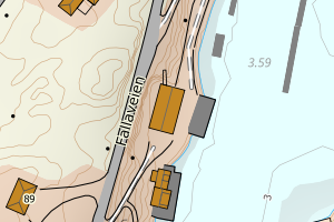
1835 Træna | 036fd493-86fc-4418-8278-ab2a4a1ac052 | 214.49 | N: 7379162.59, Ø: 371158.70 | ![Kartbilde fra WMS-tjeneste av avviket](https://wms.geonorge.no/skwms1/wms.topo?VERSION=1.1.1&SERVICE=WMS&REQUEST=GetMap&LAYERS=topo&STYLES=&FORMAT=image/png&SRS=EPSG:25833&BBOX=371083.0,7379112,371233.0,7379212&WIDTH=300&HEIGHT=200) |
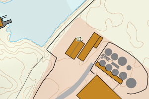
1835 Træna | 7f71a9bf-049c-44a0-b3ff-75816f256f2f | 202.23 | N: 7378974.71, Ø: 371042.22 | ![Kartbilde fra WMS-tjeneste av avviket](https://wms.geonorge.no/skwms1/wms.topo?VERSION=1.1.1&SERVICE=WMS&REQUEST=GetMap&LAYERS=topo&STYLES=&FORMAT=image/png&SRS=EPSG:25833&BBOX=370967.0,7378924,371117.0,7379024&WIDTH=300&HEIGHT=200) |