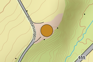
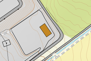
Avvikene skyldes oftest manglende eller unøyaktig registrering av bygningspunkt i matrikkelen. Rettes vanligvis i matrikkelen
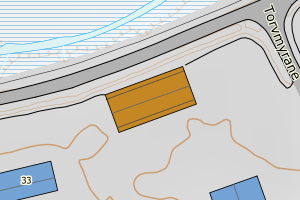
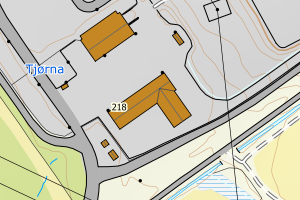
Kommune | LokalId | Areal (m2) | Posisjon | WMS-bilde |
1520 Ørsta | 4c6f0578-e6ab-4e92-b0b5-ce2f4e5539fe | 829.71 | N: 6897293.09, Ø: 347321.63 | ![Kartbilde fra WMS-tjeneste av avviket](https://wms.geonorge.no/skwms1/wms.topo?VERSION=1.1.1&SERVICE=WMS&REQUEST=GetMap&LAYERS=topo&STYLES=&FORMAT=image/png&SRS=EPSG:25832&BBOX=347246.0,6897243,347396.0,6897343&WIDTH=300&HEIGHT=200) |
1520 Ørsta | 377501a6-fa98-4460-9540-2fd6517334e3 | 516.89 | N: 6894620.50, Ø: 357256.69 | ![Kartbilde fra WMS-tjeneste av avviket](https://wms.geonorge.no/skwms1/wms.topo?VERSION=1.1.1&SERVICE=WMS&REQUEST=GetMap&LAYERS=topo&STYLES=&FORMAT=image/png&SRS=EPSG:25832&BBOX=357181.0,6894570,357331.0,6894670&WIDTH=300&HEIGHT=200) |
1520 Ørsta | 641773da-0f09-4a07-a2b4-2dce604e7462 | 498.68 | N: 6897402.99, Ø: 354708.54 | ![Kartbilde fra WMS-tjeneste av avviket](https://wms.geonorge.no/skwms1/wms.topo?VERSION=1.1.1&SERVICE=WMS&REQUEST=GetMap&LAYERS=topo&STYLES=&FORMAT=image/png&SRS=EPSG:25832&BBOX=354633.0,6897352,354783.0,6897452&WIDTH=300&HEIGHT=200) |
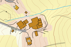
1520 Ørsta | d0b8d582-3e91-4c6a-824a-2f4310560b6a | 405.12 | N: 6912490.80, Ø: 350249.03 | ![Kartbilde fra WMS-tjeneste av avviket](https://wms.geonorge.no/skwms1/wms.topo?VERSION=1.1.1&SERVICE=WMS&REQUEST=GetMap&LAYERS=topo&STYLES=&FORMAT=image/png&SRS=EPSG:25832&BBOX=350174.0,6912440,350324.0,6912540&WIDTH=300&HEIGHT=200) |
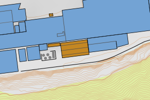
1520 Ørsta | bda78ada-d1e4-4d9e-a817-d45aef0a2132 | 351.67 | N: 6894652.36, Ø: 357234.90 | ![Kartbilde fra WMS-tjeneste av avviket](https://wms.geonorge.no/skwms1/wms.topo?VERSION=1.1.1&SERVICE=WMS&REQUEST=GetMap&LAYERS=topo&STYLES=&FORMAT=image/png&SRS=EPSG:25832&BBOX=357159.0,6894602,357309.0,6894702&WIDTH=300&HEIGHT=200) |
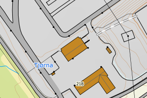
1520 Ørsta | 89d672fb-def4-4c9f-a0fe-aa09baf25864 | 269.01 | N: 6897316.68, Ø: 353602.38 | ![Kartbilde fra WMS-tjeneste av avviket](https://wms.geonorge.no/skwms1/wms.topo?VERSION=1.1.1&SERVICE=WMS&REQUEST=GetMap&LAYERS=topo&STYLES=&FORMAT=image/png&SRS=EPSG:25832&BBOX=353527.0,6897266,353677.0,6897366&WIDTH=300&HEIGHT=200) |
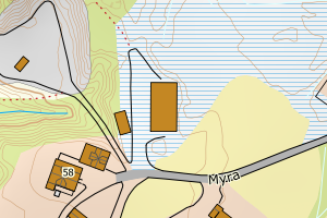
1520 Ørsta | 22096675-56c5-4ab9-8c02-9e129cc9a227 | 254.27 | N: 6918708.44, Ø: 361810.11 | ![Kartbilde fra WMS-tjeneste av avviket](https://wms.geonorge.no/skwms1/wms.topo?VERSION=1.1.1&SERVICE=WMS&REQUEST=GetMap&LAYERS=topo&STYLES=&FORMAT=image/png&SRS=EPSG:25832&BBOX=361735.0,6918658,361885.0,6918758&WIDTH=300&HEIGHT=200) |
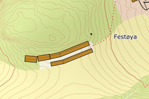
1520 Ørsta | 749c5f30-c1c1-4a08-baf5-c575ee293dd2 | 233.75 | N: 6899259.25, Ø: 366741.64 | ![Kartbilde fra WMS-tjeneste av avviket](https://wms.geonorge.no/skwms1/wms.topo?VERSION=1.1.1&SERVICE=WMS&REQUEST=GetMap&LAYERS=topo&STYLES=&FORMAT=image/png&SRS=EPSG:25832&BBOX=366666.0,6899209,366816.0,6899309&WIDTH=300&HEIGHT=200) |
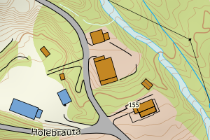
1520 Ørsta | 0ebf3dab-1bcf-4065-a7ac-a6e41e033751 | 218.69 | N: 6898574.64, Ø: 351565.71 | ![Kartbilde fra WMS-tjeneste av avviket](https://wms.geonorge.no/skwms1/wms.topo?VERSION=1.1.1&SERVICE=WMS&REQUEST=GetMap&LAYERS=topo&STYLES=&FORMAT=image/png&SRS=EPSG:25832&BBOX=351490.0,6898524,351640.0,6898624&WIDTH=300&HEIGHT=200) |
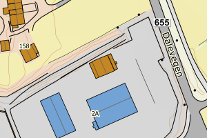
1520 Ørsta | 0ae956b6-932b-46d0-89c0-b20c58cea788 | 215.98 | N: 6897724.55, Ø: 349144.41 | ![Kartbilde fra WMS-tjeneste av avviket](https://wms.geonorge.no/skwms1/wms.topo?VERSION=1.1.1&SERVICE=WMS&REQUEST=GetMap&LAYERS=topo&STYLES=&FORMAT=image/png&SRS=EPSG:25832&BBOX=349069.0,6897674,349219.0,6897774&WIDTH=300&HEIGHT=200) |
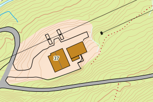
1520 Ørsta | 01d654c7-20af-4a13-ad05-7f0e497d0ba5 | 204.17 | N: 6894686.18, Ø: 357354.42 | ![Kartbilde fra WMS-tjeneste av avviket](https://wms.geonorge.no/skwms1/wms.topo?VERSION=1.1.1&SERVICE=WMS&REQUEST=GetMap&LAYERS=topo&STYLES=&FORMAT=image/png&SRS=EPSG:25832&BBOX=357279.0,6894636,357429.0,6894736&WIDTH=300&HEIGHT=200) |